We have started this year’s hiking season in the canton of Ticino. I think we couldn’t choose better. Since here in the south of Switzerland, the hiking season starts a little earlier than in our favorite Bernese Alps. And while the Alps were still covered with snow, here everything was turning green in mid-April and the hiking trails were ready for the first onslaught of outdoor enthusiasts.
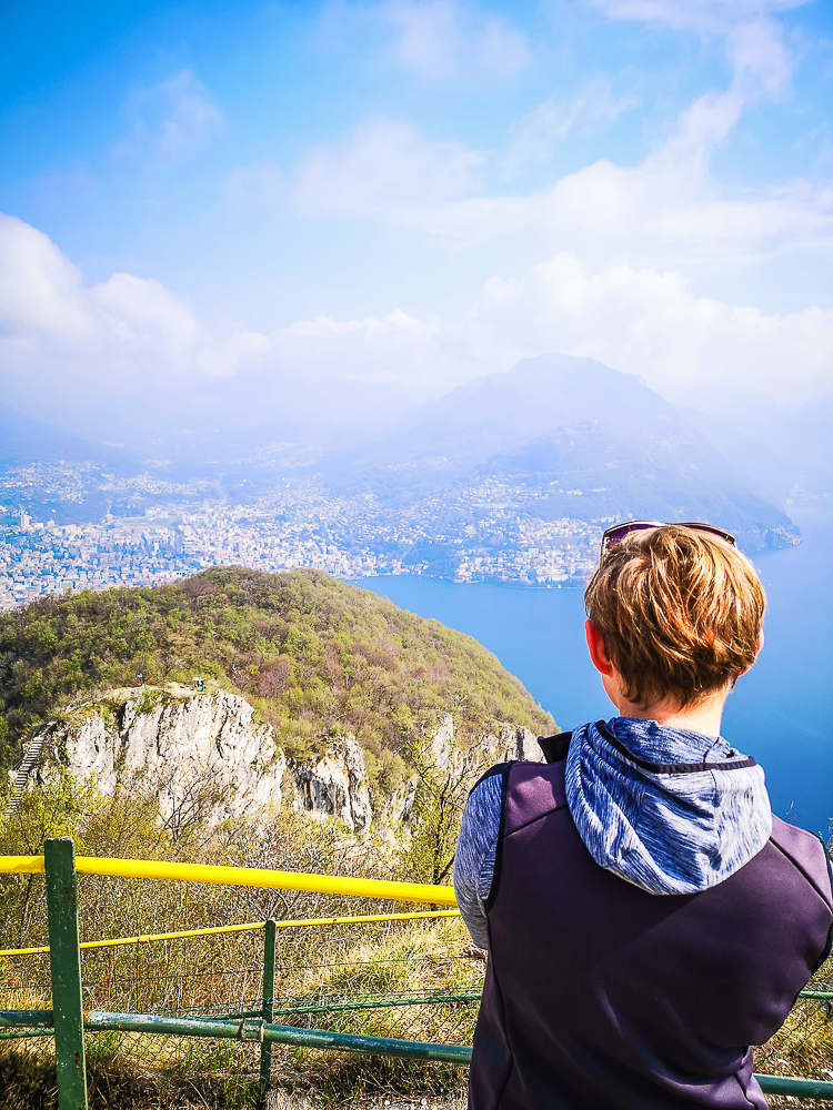
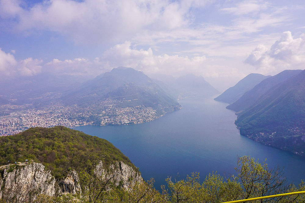
The approximately 10 km trail from San Salvatore to Morcote is said to be a hiking classic. The funicular takes you to the 912 meters high San Salvatore, the “home” mountain of Lugano, where you can enjoy the view of the magnificent panorama. From here you continue to Morcote, Switzerland’s most beautiful village of 2016.
NOTE: We did the hike from San Salvatore to Morcote as part of a collaboration with Ticino Turismo. They invited us and four other blogging families to discover the beauty, family attractions and activities of the Lugano region during the weekend and enjoy #ticinomoments. All opinions are mine.
San Salvatore
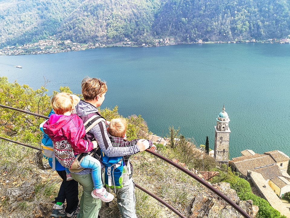
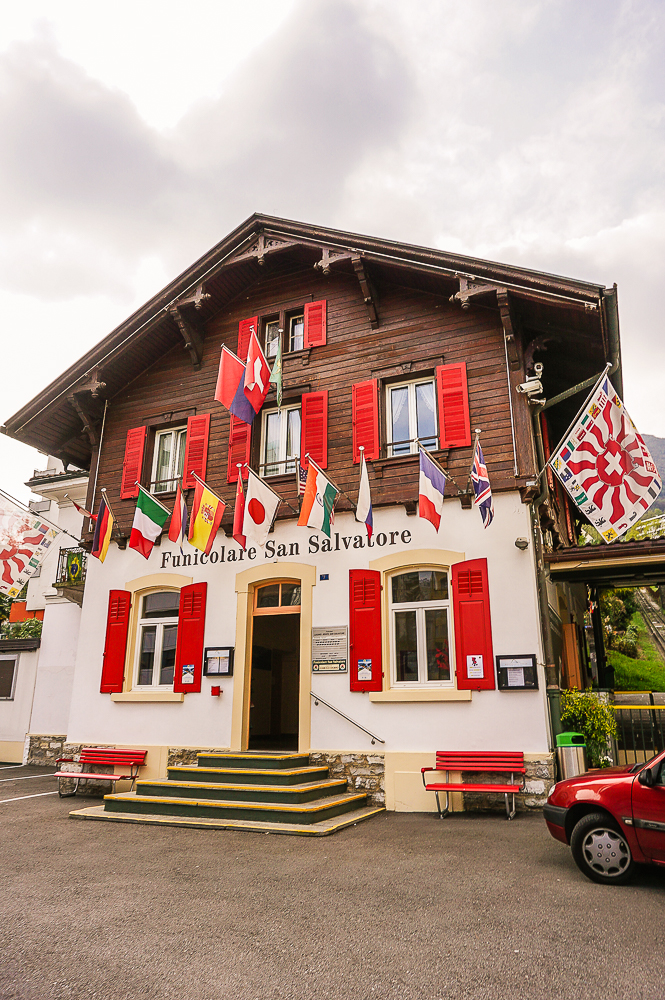
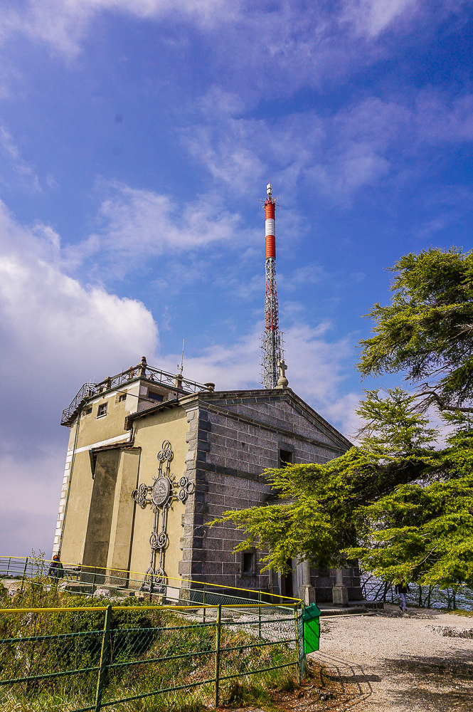
From Paradiso, the funicular takes you to the rocky peak of San Salvatore. Opening hours and fares can be found here. (with Ticino Ticket you pay 18 francs for a one-way ticket instead of 23 francs!). The most beautiful view is from the top of the church, which you can see in the photo below.
Hiking trails through the hilly Ceresio Peninsula, which extends beyond the San Salvatore to the south, start from the restaurant at the funicular station.
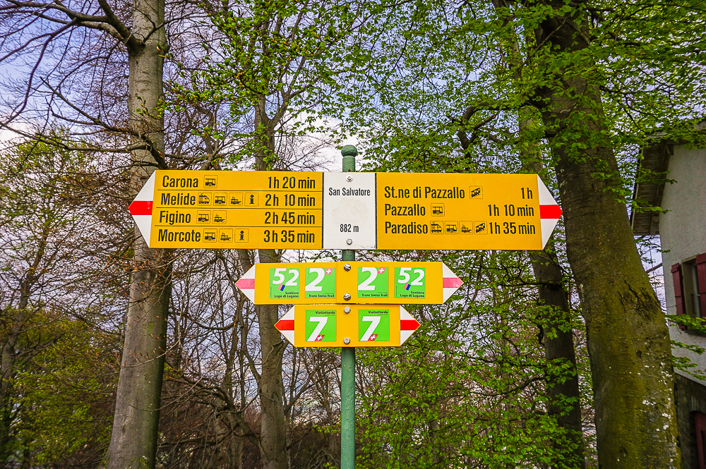
Trail
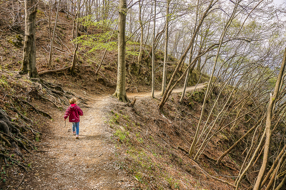
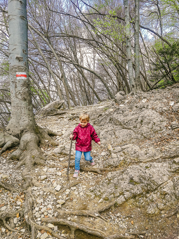
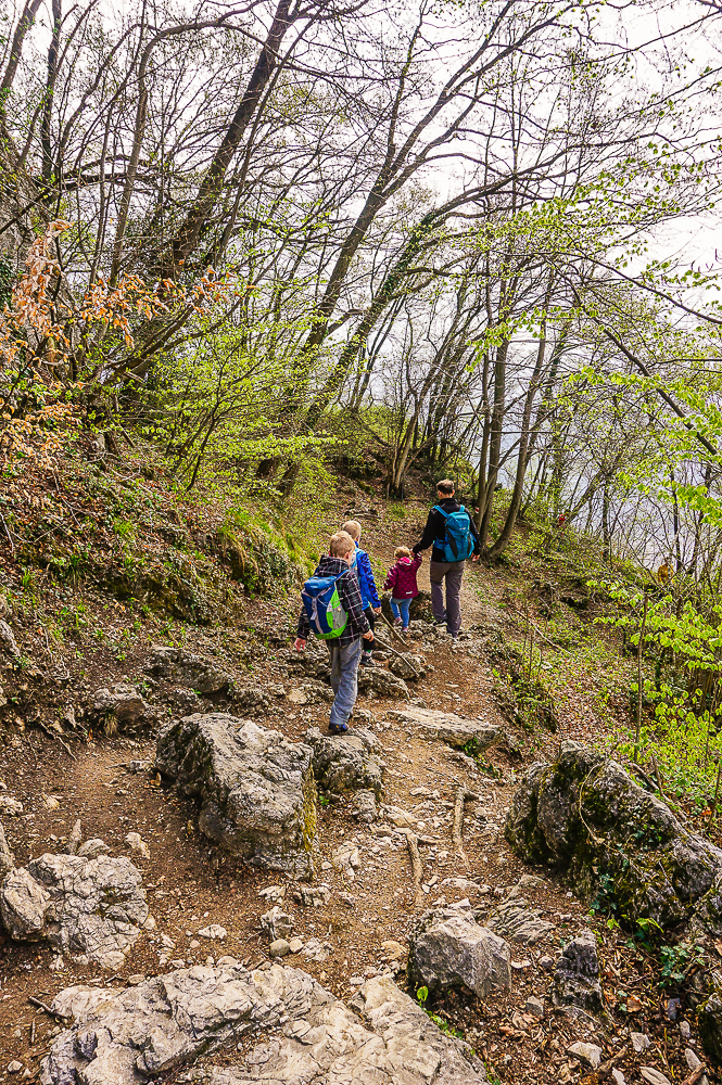
The descent from San Salvatore starts steeply, over stones and roots, and one has to keep looking under his feet to not to slip or stumble over them.
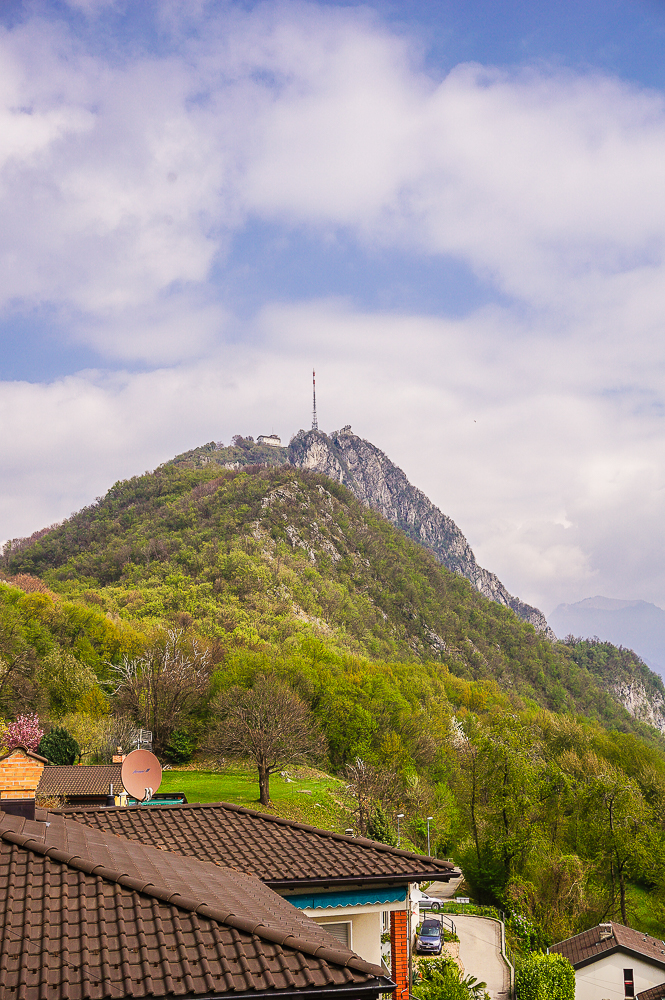
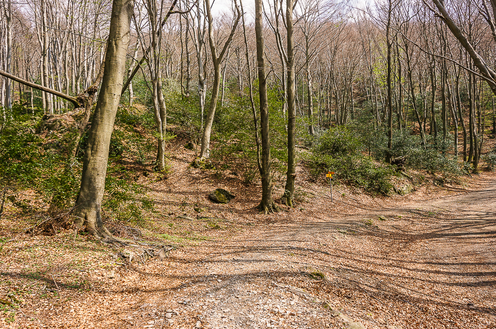
But after about a kilometer the path improves, leading more or less along the contour line. When we got out of the forest, the view of San Salvatore opened up.
Ciona
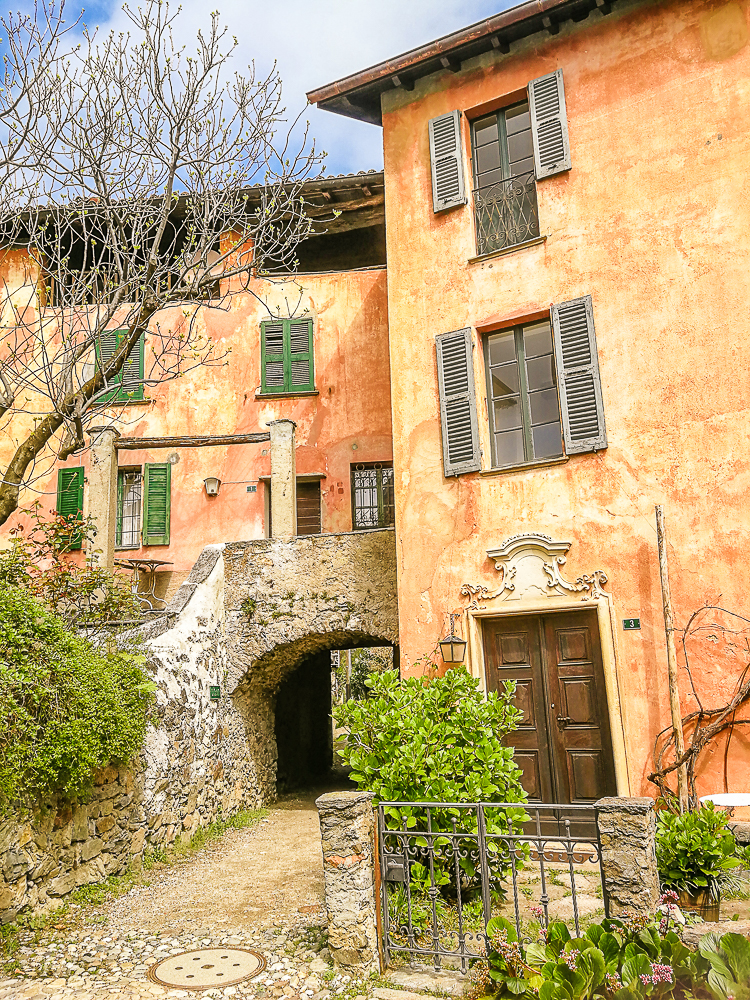
After about two kilometers we reached the village of Ciona.
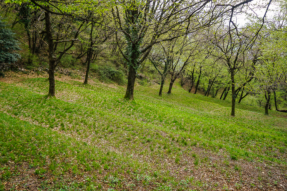
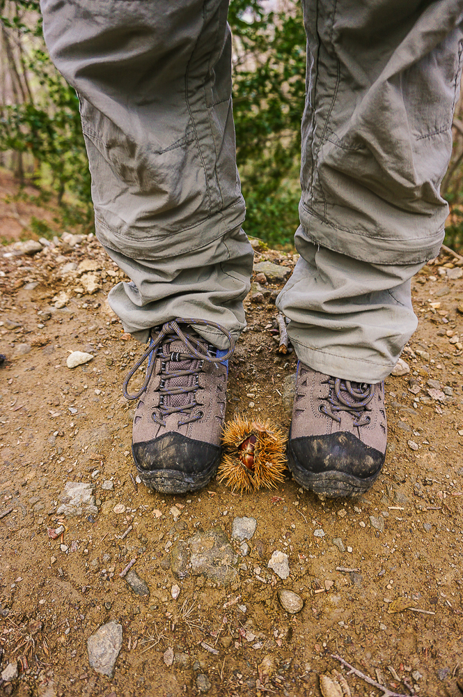
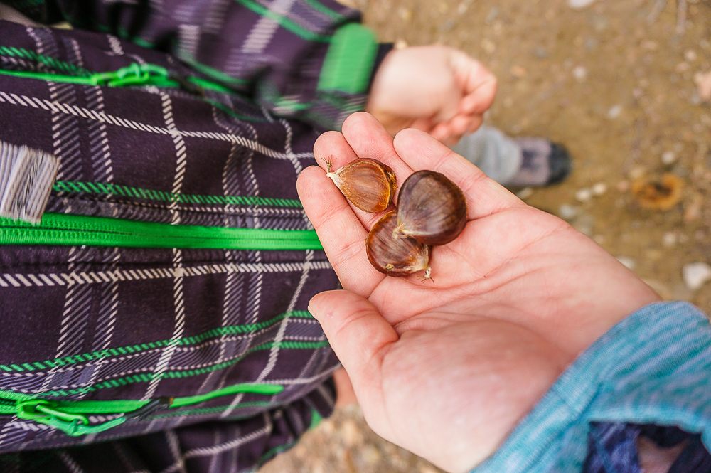
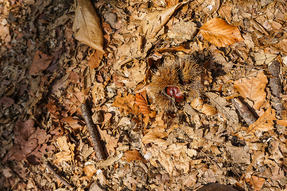
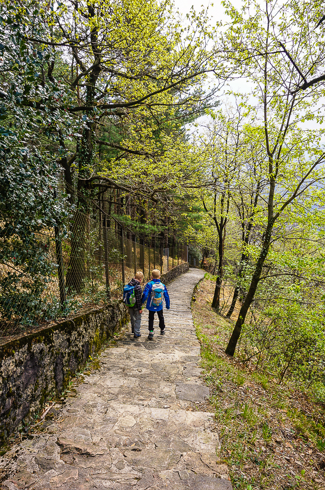
You continue from Ciona without the high altitude differences across the wide path through the chestnut forest to Carona.
Carona
If you have more time in Carona than we did, don’t miss visiting the Parco San Grato Botanical Garden, full of rhododendrons, azaleas or conifers.
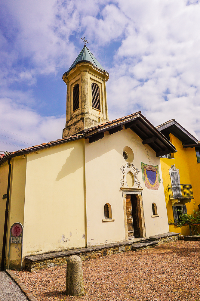
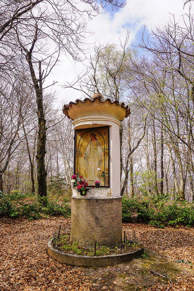
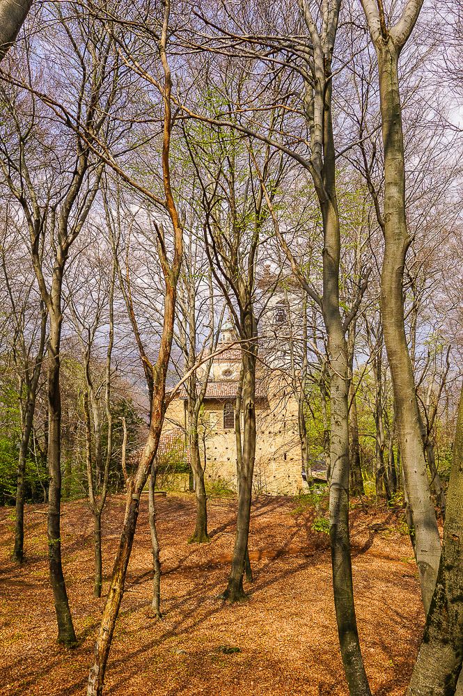
From Carona, there is a comfortable forest path, past the 17th-century Sanctuary of Madonna d’Ongero, which you can see through the trees.
As I said, we couldn’t stay in Carona for a long time because we were in a hurry to meet with a cameraman from Ticino Turismo, who documented the blogging weekend. You can watch the whole video below. Can you spot us? 😉
Alpe Vicania
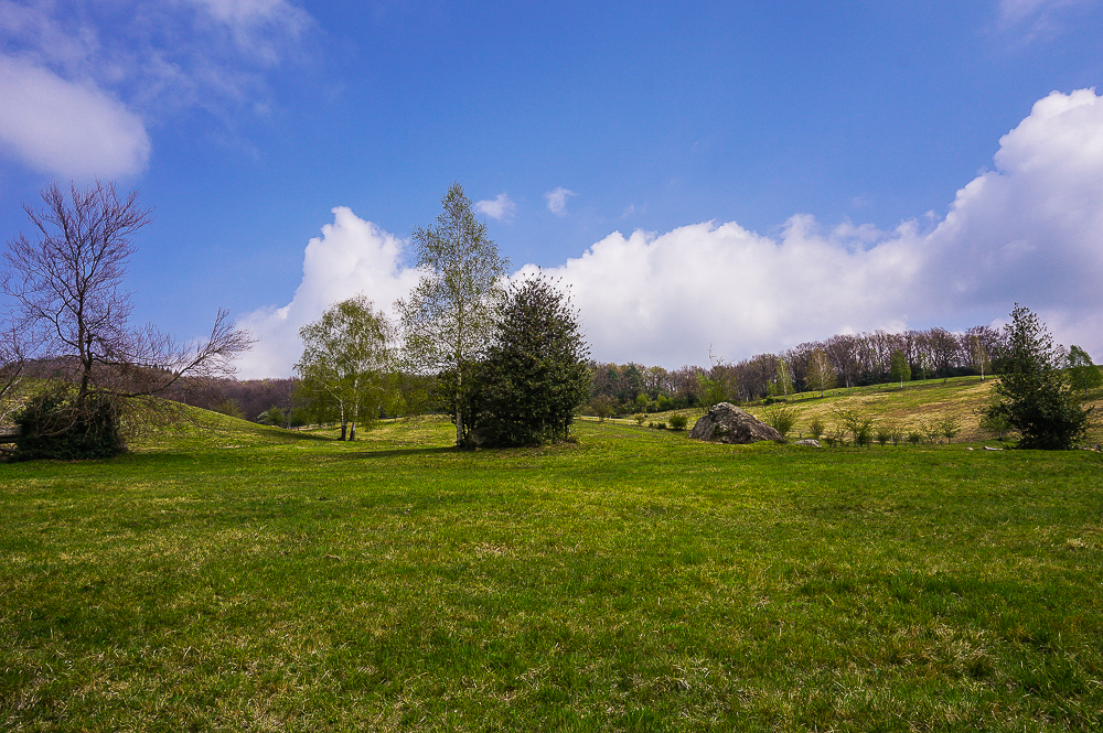
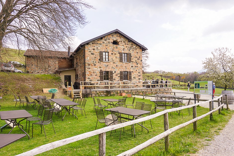
After about four kilometers (about an hour) we arrived at the Alpe Vicania nature reserve. In the middle of this delightful piece of nature, the restaurant literally lures you to have a short break for coffee and ice cream.
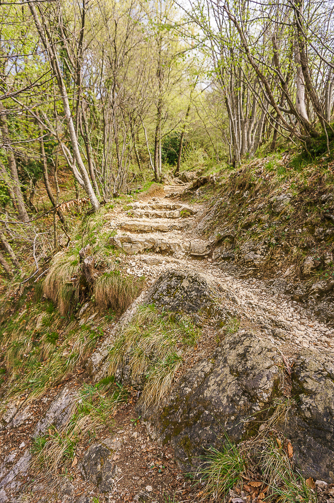
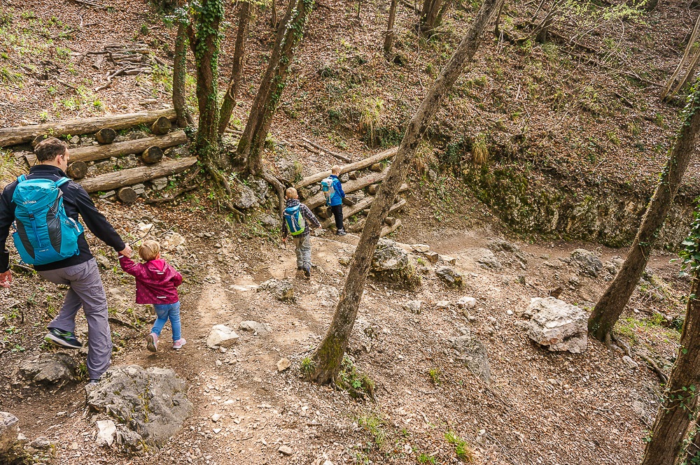
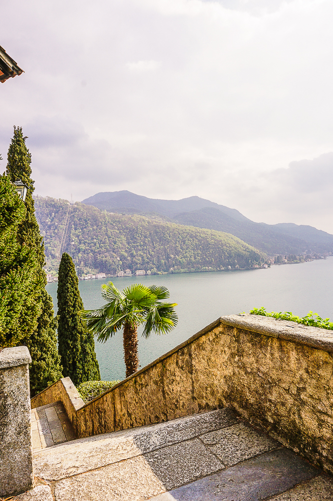
A steep descent awaits you from here. This time down the stairs. Our younger son counted 564 steps. They say they are about a thousand down to the lake! But the reward for sore calves will be in about half an hour with beautiful views across the lake to Italy.
Chiesa di Santa Maria del Sasso
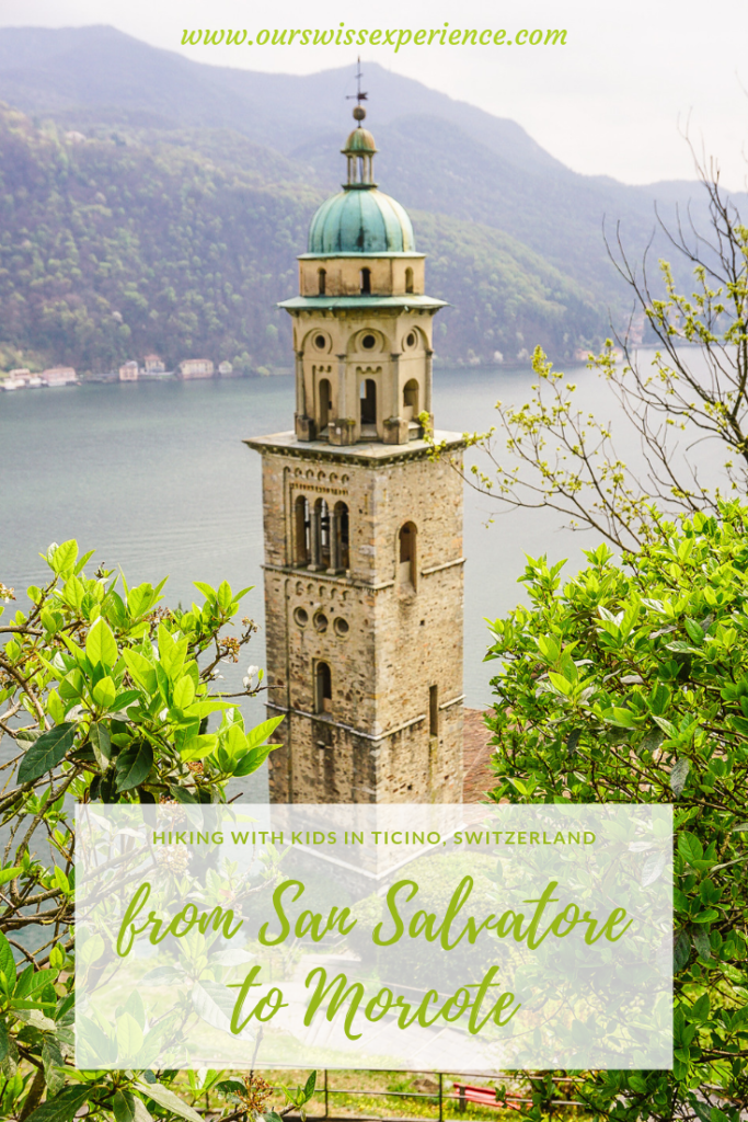
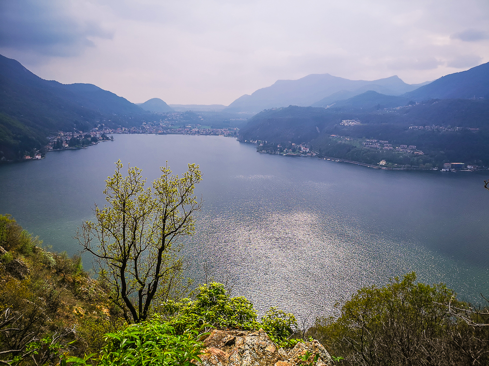
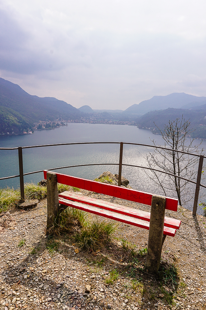
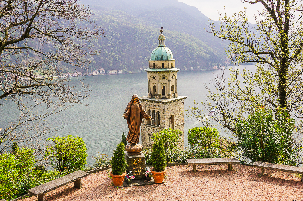
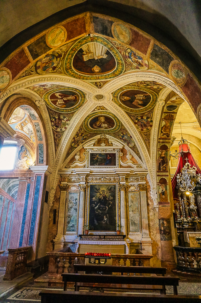
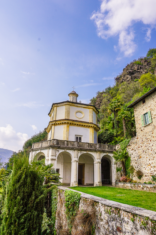
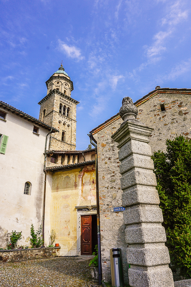
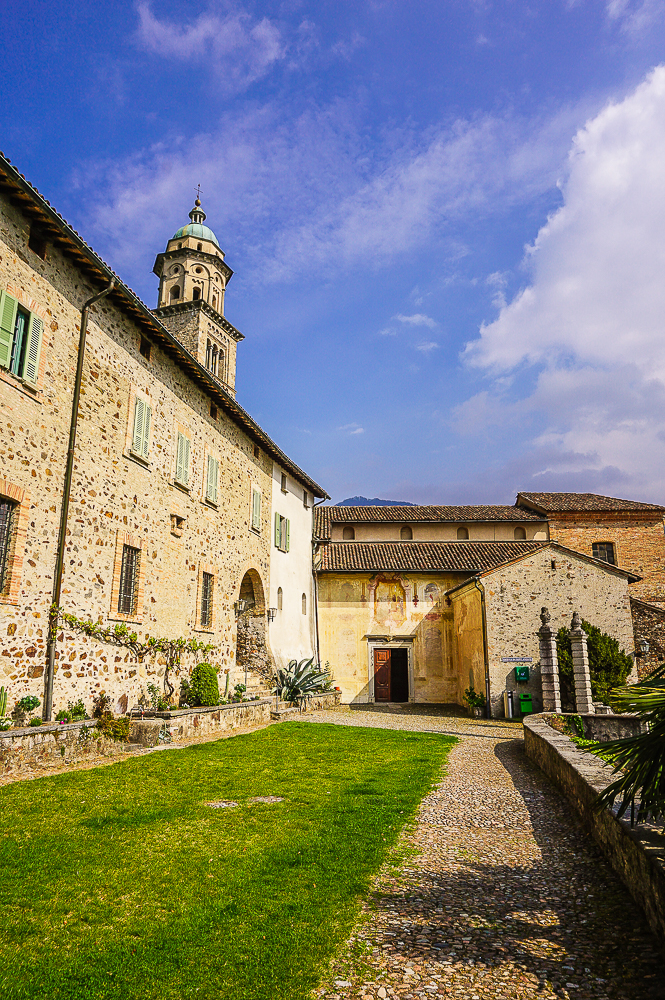
Before reaching Morcote, you will pass the Chiesa di Santa Maria del Sasso with its 16th-century frescoes. I recommend stopping here for a while, even if you are not a spiritual person. Or you can enjoy wonderful views instead of meditation. Believe me, you won´t have enough of it!
Morcote
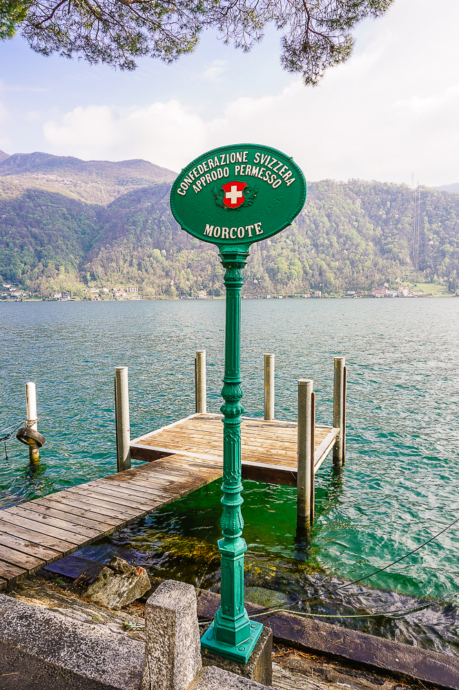
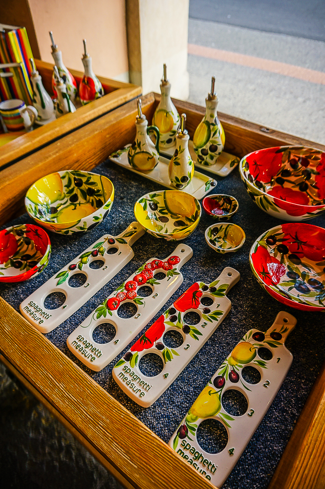
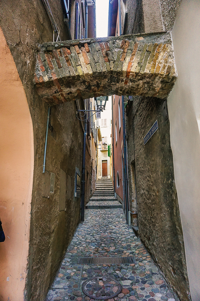
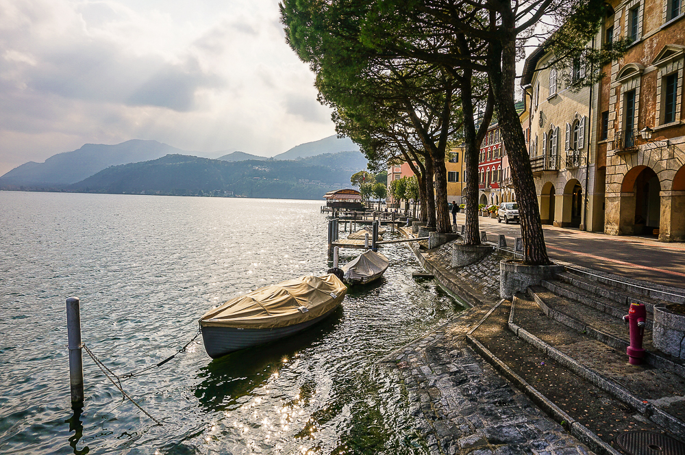
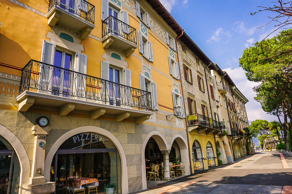
We ended our hike in Morcote, a former fishing village on the very tip of the Ceresio peninsula. In 2016, Morcote was voted the most beautiful village in Switzerland. On the waterfront, you will find nice restaurants and local handicraft shops (so far I am sorry that I did not buy the yellow bowl, so when you go around, think of me 😉 ) or you can wander through the narrow cobbled streets and discover hidden corners of Morcote.
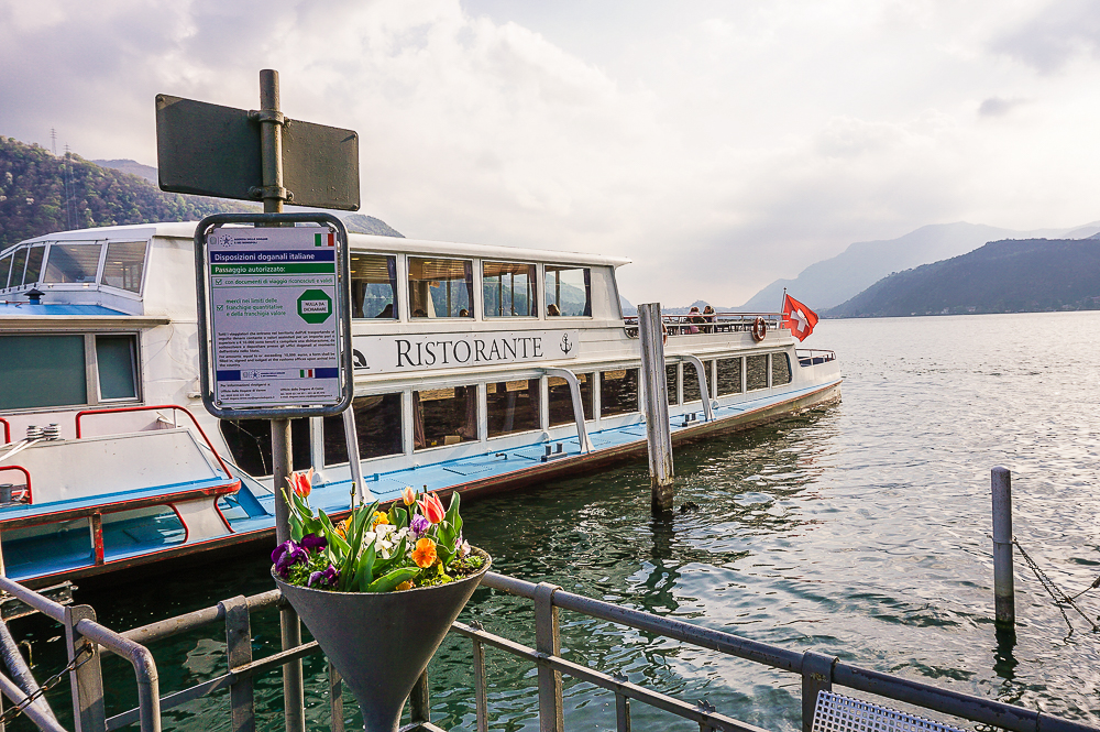
You can get back to Lugano either by the yellow post bus (line 431, runs approximately every 2 hours) or by ferry (timetables and ticket prices can be found here).
Shrnutí
- This trail leads mostly in the pleasant shade of the forest.
- Steep descents await you at the beginning and the end, but otherwise, the trail leads without great height differences along comfortable wide paths.
- Not suitable for strollers.
- The elevation profile can be found on the Wandermagazin SCHWEIZ website.
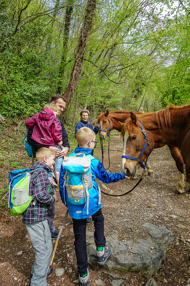
- I recommend for kids 4+ Of course, it depends on how proficient your little hikers are. Our youngest (3.5 years) has managed more than half the trail, then I had to carry her.
- Another hike tip for Ticino: Two years ago we took a hike from the iconic Ponte dei Salti Bridge in Valle Verzasca to Switzerland’s smallest village.
GIVEAWAY
We are teaming up with sbb.ch/freizeit to give away two 50CHF vouchers so you can take your family on a fun train trip in Switzerland!
If you would like to win one of the two vouchers, tell us by Sunday, 5 May 2019, 8 pm by comment directly on the blog (whichever language version), if you already know Ticino or what you like best in this canton! You can find general competition conditions here.






7 Comments. Leave new
Your trip in Ticino so much wonderful , it is such a lovely place with the view of moutain and lake. It looks like a paradise even though I never been the paradise before. I and family would like to go there I promise my daughter will love it🥰
I´m sure your daughter will love it! 🙂
Thank you for this awesome recommendation! 🙂 Let’s see if my 5 year old son can manage. 🙂 Your blog is wonderful overall, keep writing!
Our daughter did most of the trail when she was 3,5 years old. Since it is almost downhill, I believe he could easily make it!