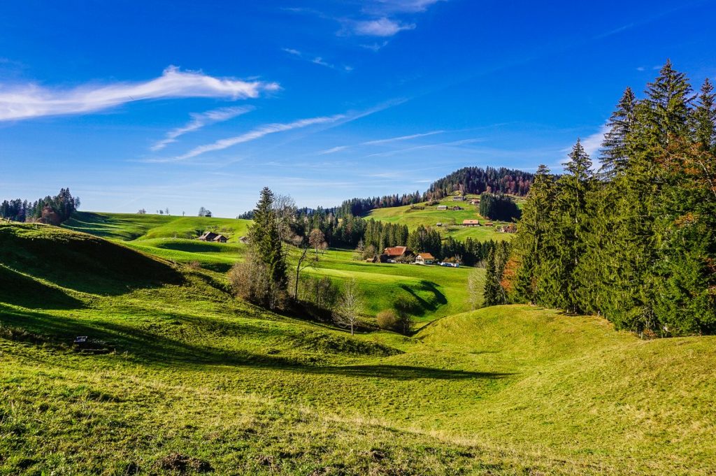
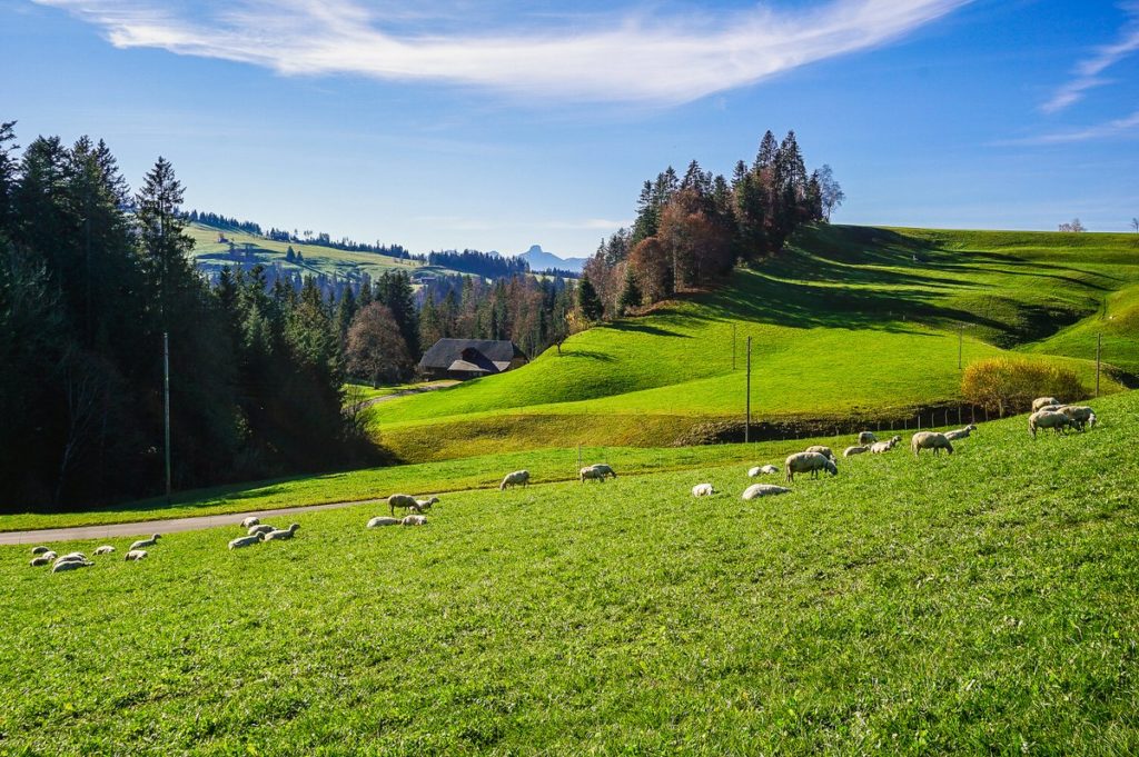
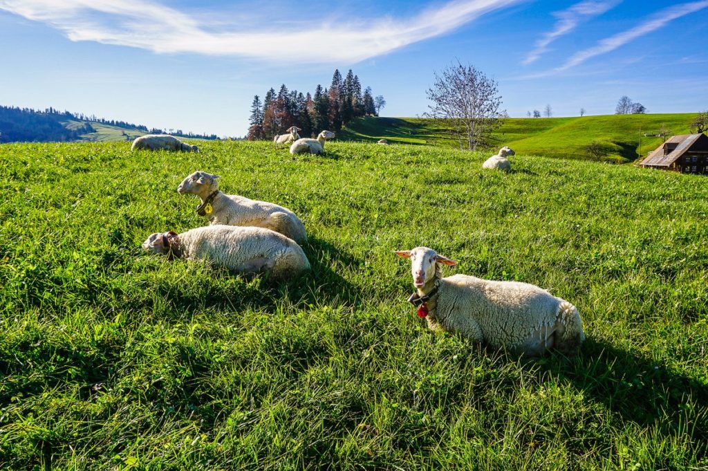
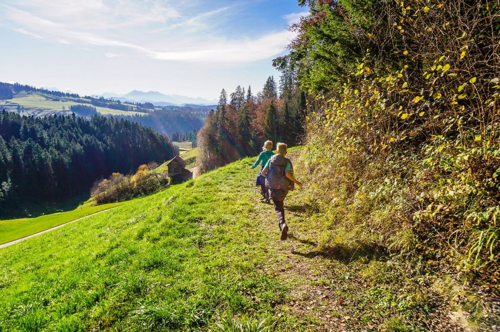
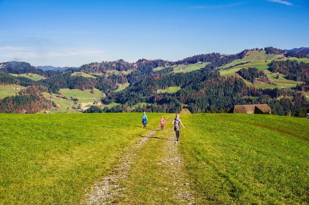
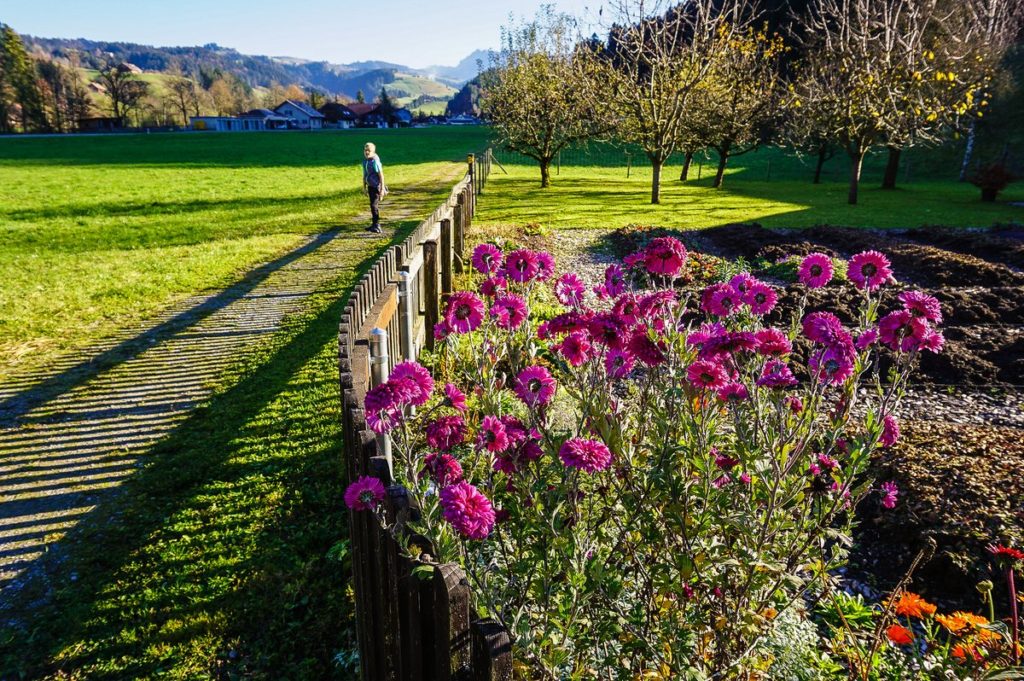
Honestly, I didn’t expect to share tips on where to go hiking in mid-November. And that during such a hike, the children will be wearing a T-shirt and a sweatshirt, which they will take off in the warm fall sun. And that along the way we will see blooming daisies. And that the cows would still be grazing high on the Emmental hills. It’s just that the weather will be more like waking spring than nature, which should be put to winter sleep. But with 2020 as it is, it’s no wonder.
Eggiwil
Eggiwil is a small village located in Emmental about 13 km south of Langnau and about 40 km southeast of Bern. In spring, it is known for being the starting point for a popular loop trail of the beautiful hilly landscape to the peaks of Pfyffer and Rämisgummenhoger, among which (especially in April) you will find the Alp Rämisgummenn full of blooming crocuses.
You can get to Eggiwil by bus BLS line 271 from Signau (to the stop Eggiwil, Dorf). You can get to Signau by S2 train, either from Bern or Langnau im Emmental.
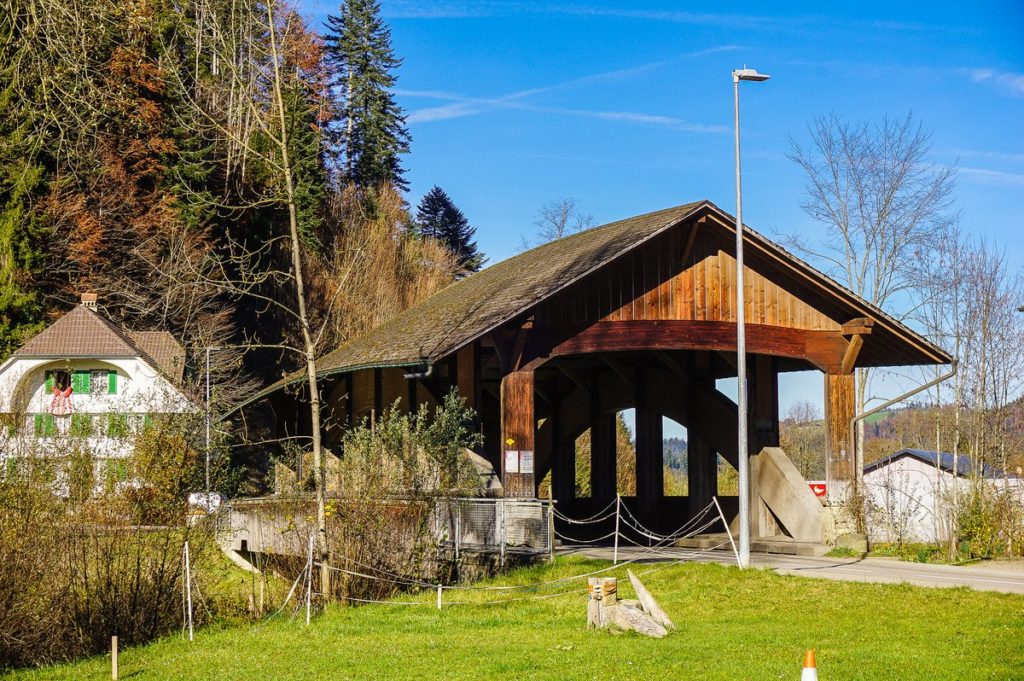
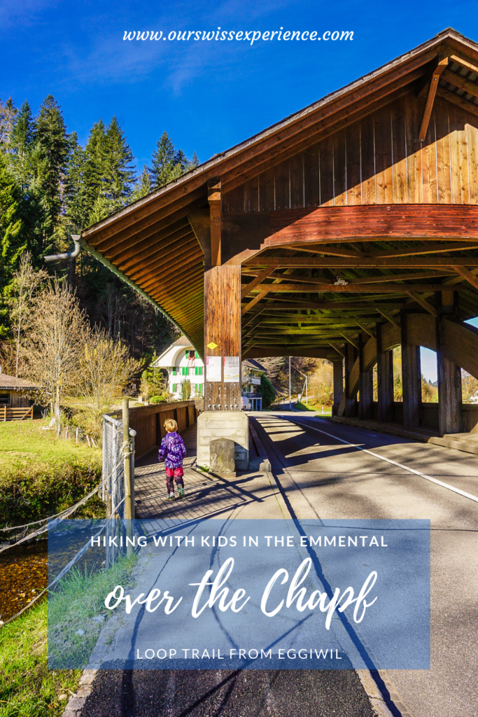
We set off by car: first also to Signau, where we turned in the direction of Schallenberg/Eggiwil/Signau/Schüpbach. We left the car parked right behind the covered wooden bridge (parking lot in front of Gasthof Bären). Another option is to drive 250 meters further to the local church.
Route to the Chapf
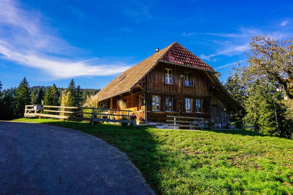
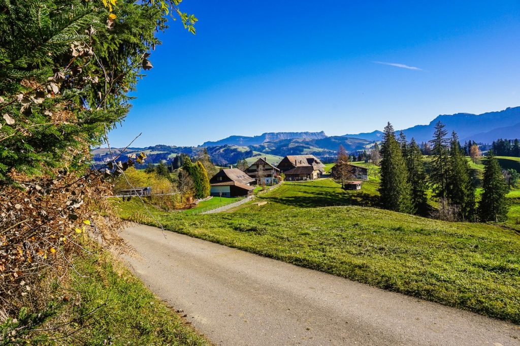
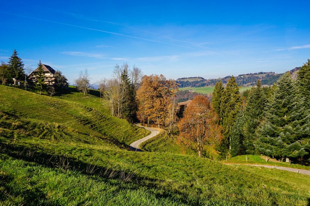
The route starts right in the center of the village. You will cross a covered wooden bridge and shortly after it you will turn left up in the direction of Chapfschwand. The road first climbs an asphalt road, then continues through the forest and across the pasture to the farm. In front of the house (as from the fairy tale Hansel and Gretel) turn left, walk through the farm buildings and climb further to the forest.
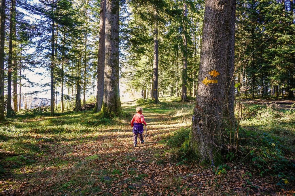
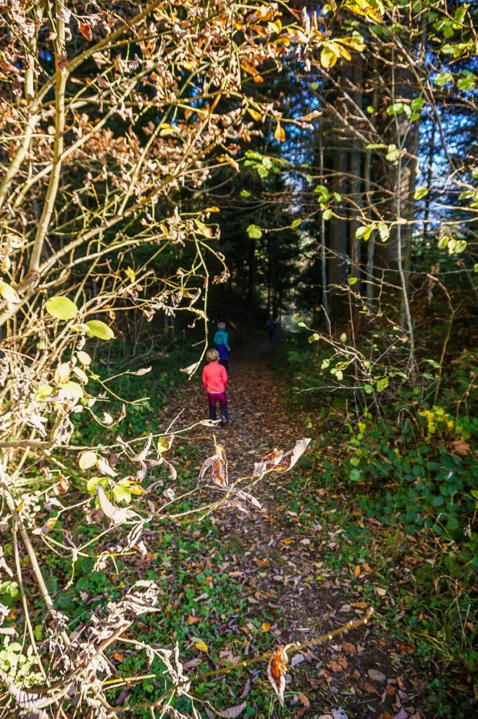
The road leads for a while along its edge, then turns right through it. When you leave the forest, the route continues for about a kilometer and a half along an asphalt road to the Chapfschwand crossroads.
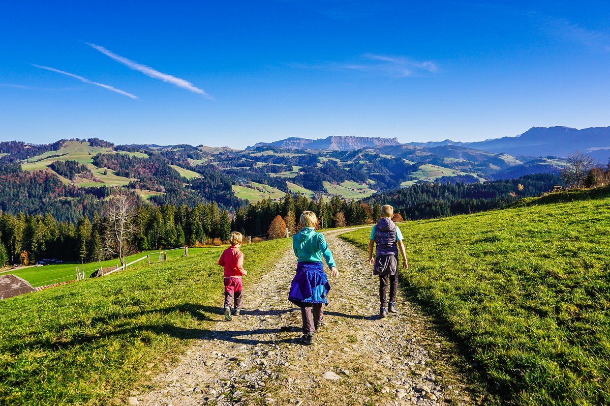
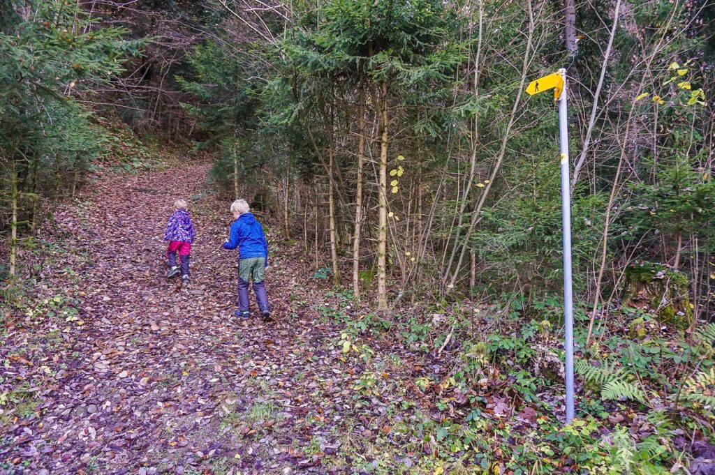
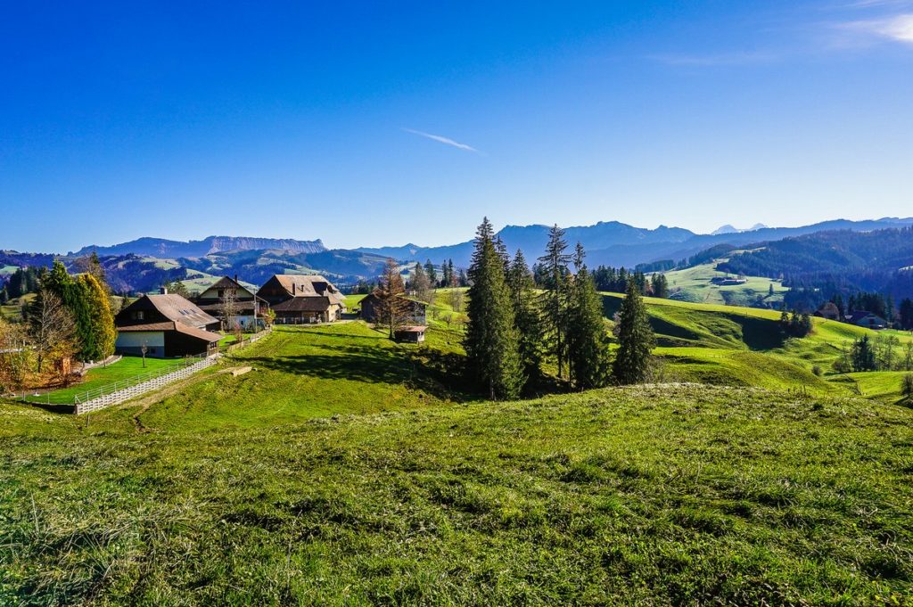
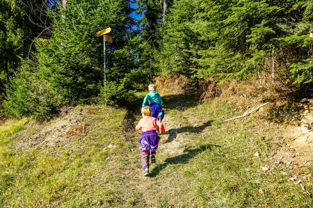
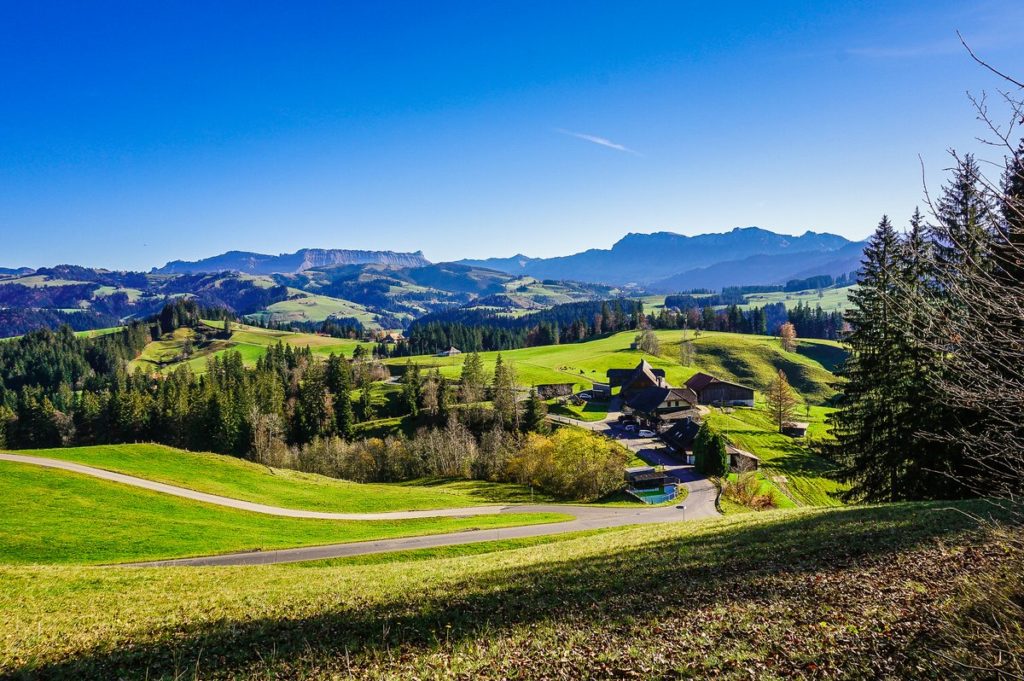
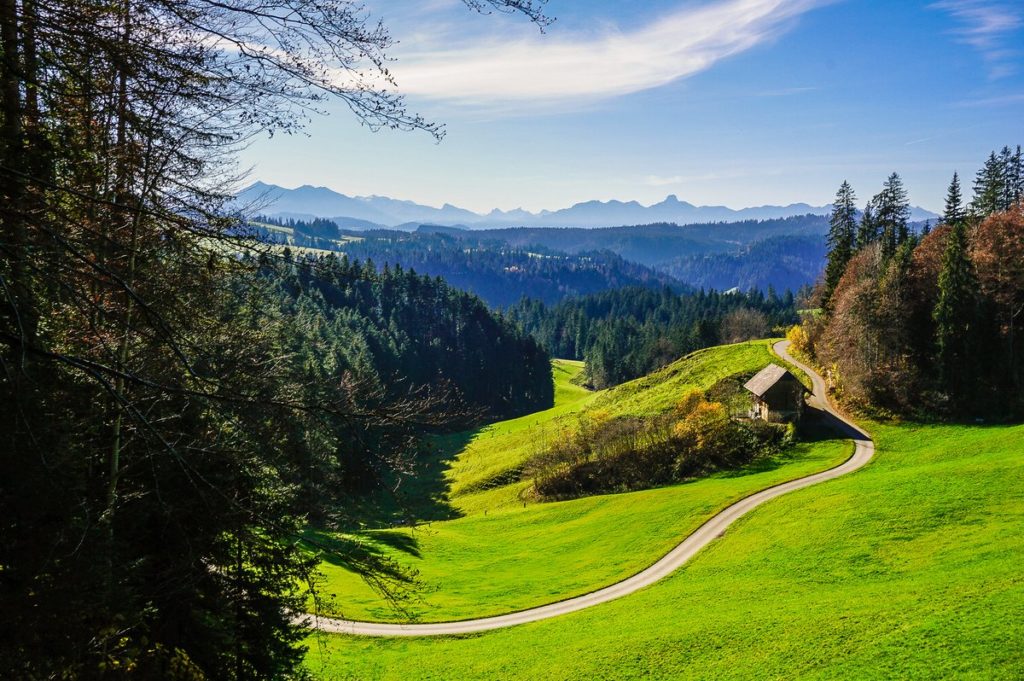
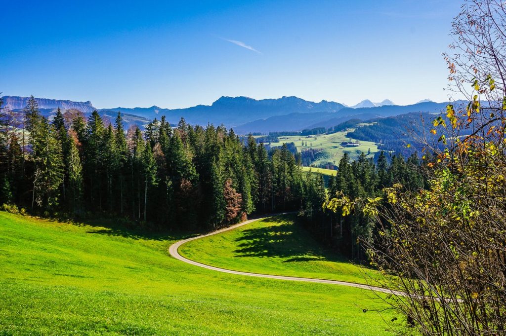
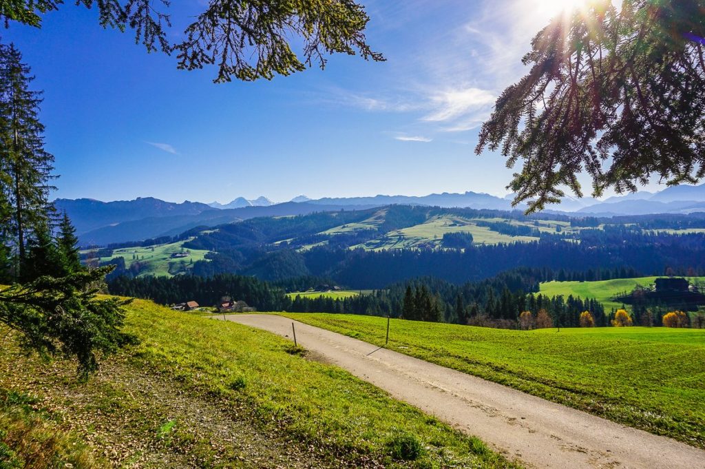
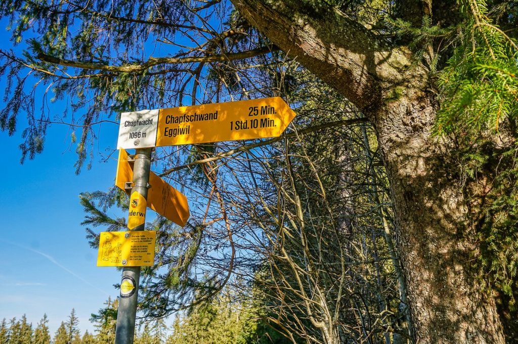
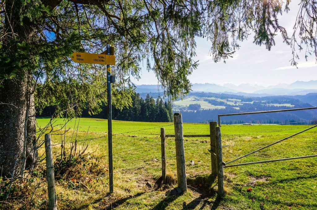
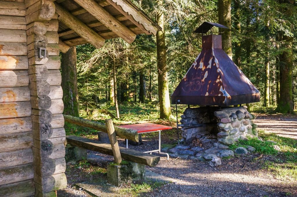
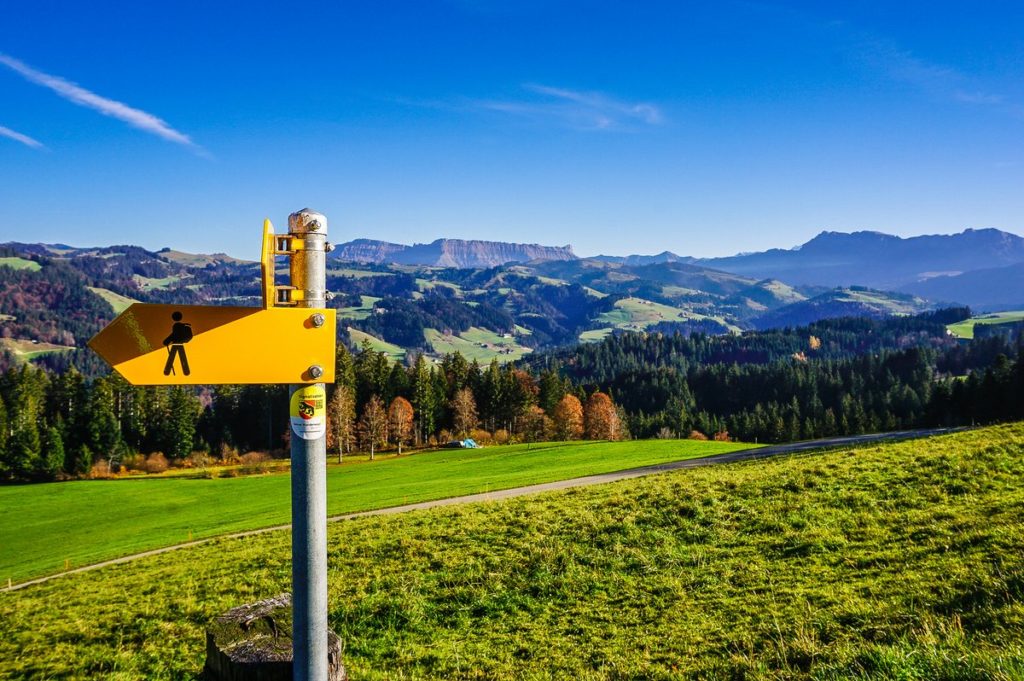
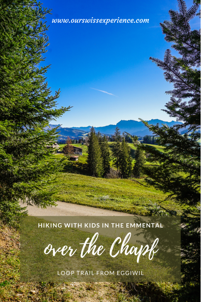
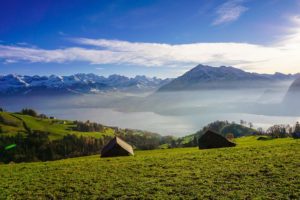
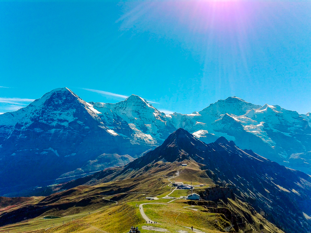
Here you can sit on a bench and enjoy the beautiful views of Schrattenfluh and Hohgant. Just behind the signpost, the route turns right again into the forest (in the shade of the trees, we almost overlooked the signpost, so be careful not to continue to Chuderhüsi). After a short steep climb through the forest, other beautiful views will open up in front of you, this time from Niesen to Stockhorn and beyond.
You reach the Chapf in about a kilometer (I probably don’t have to talk about even better views, do I? 
From here you go down the hill in the direction of Eggiwil – again through the forest, on the pasture and on the asphalt road.
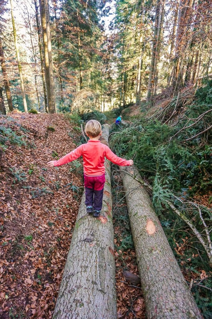
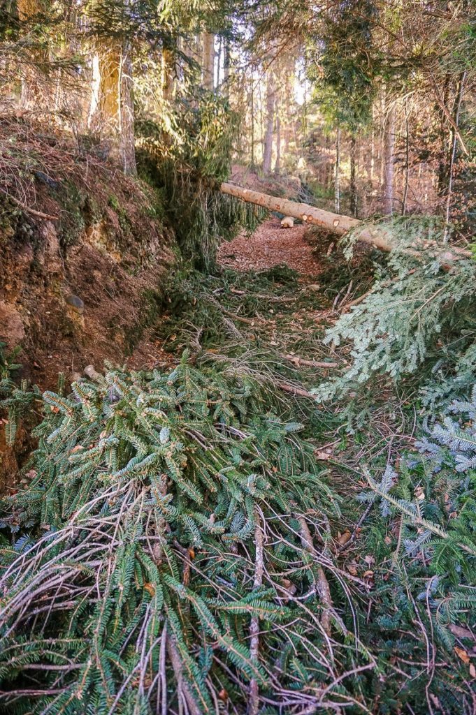
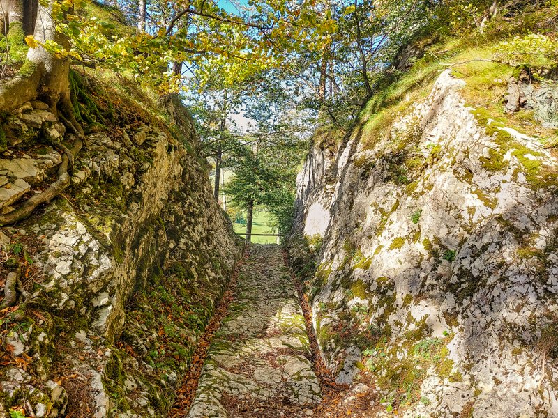
At about the seventh kilometer you will find the steepest descent through a narrow passage in the forest. As we went through it, we had to “deal with” foresters who performed forest maintenance. Somehow I wanted to sit on those tree trunks and hoped that they would take us all the way down. Well, I guess I don’t have to say that it didn’t happen 
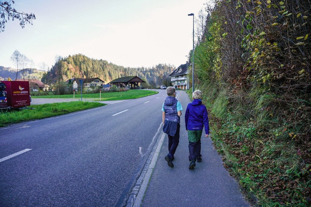
And then we continued on into the valley. We found ourselves on the edge of the local “industrial zone” and walked the remaining kilometer back to the car.
Summary
- Unexpectedly beautiful route with wonderful views.
- The route measures 9.5 km and its altitude profile can be found on the Tourenplaner website from Wandermagazin Schweiz.
- The route is not suitable for a stroller.


