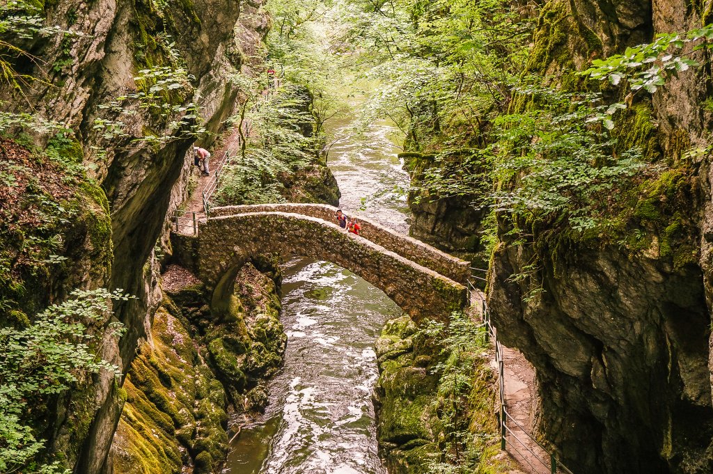
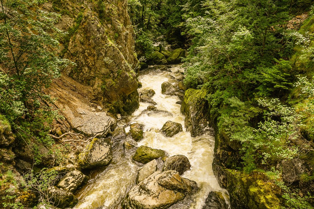
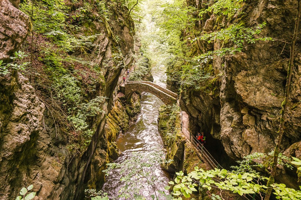
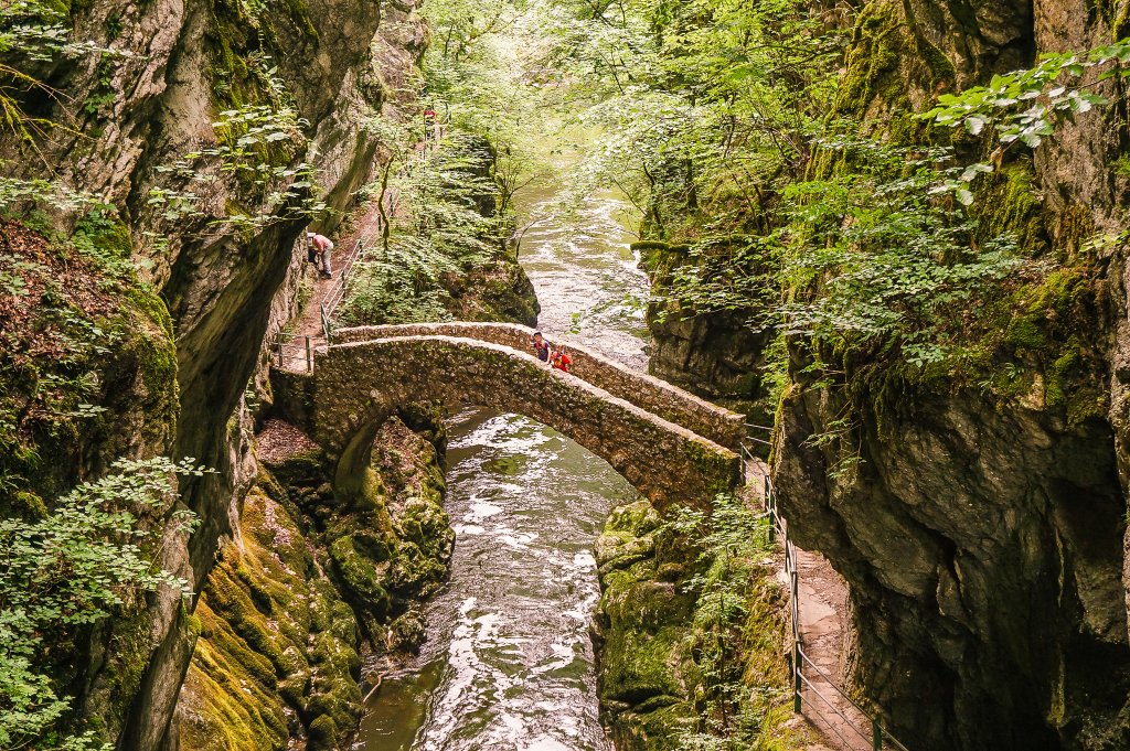
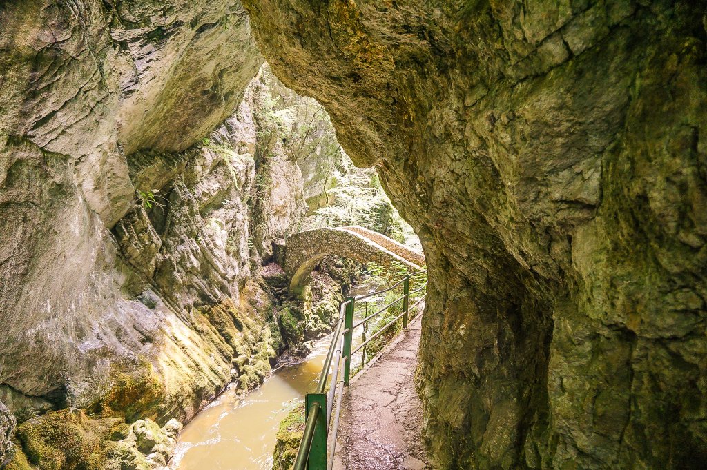
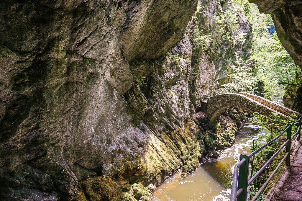
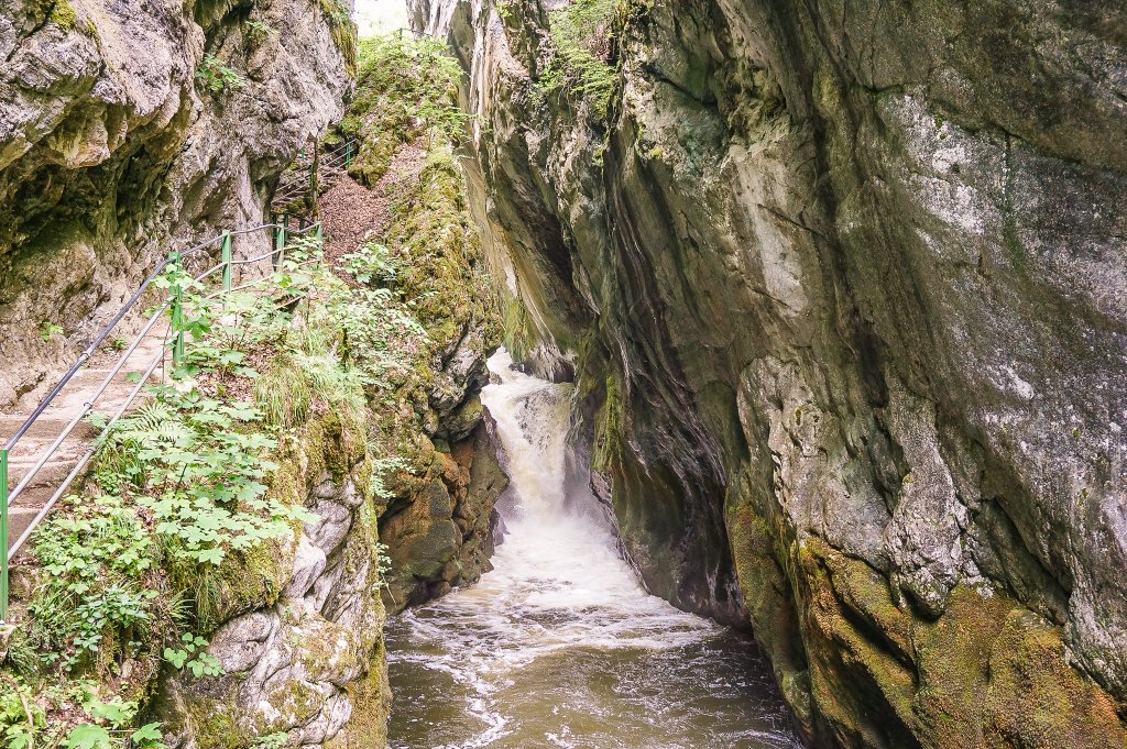
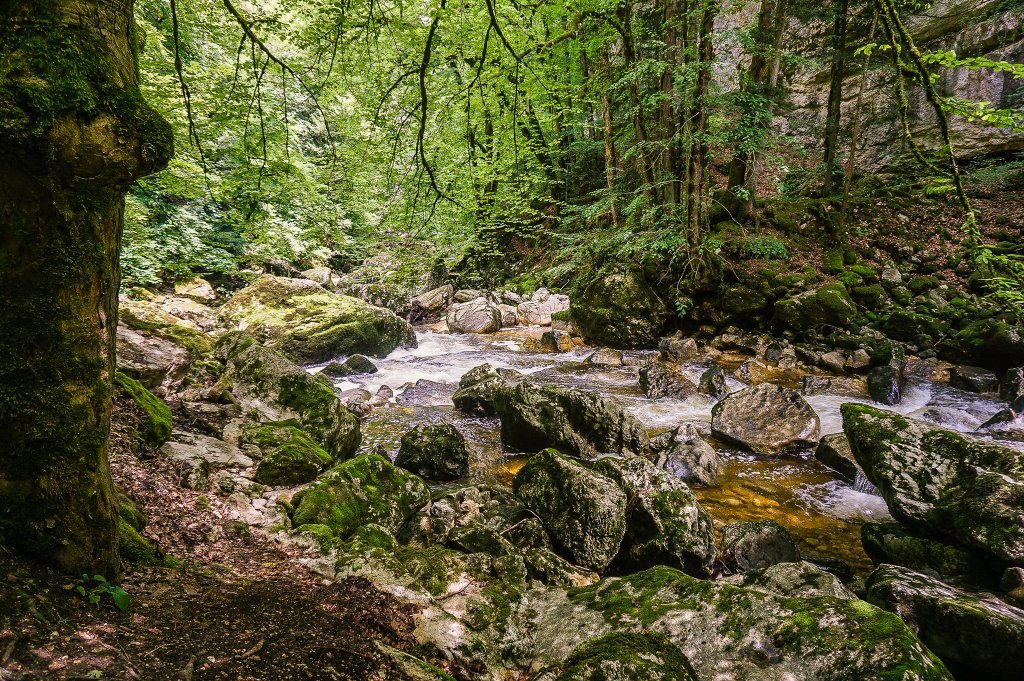
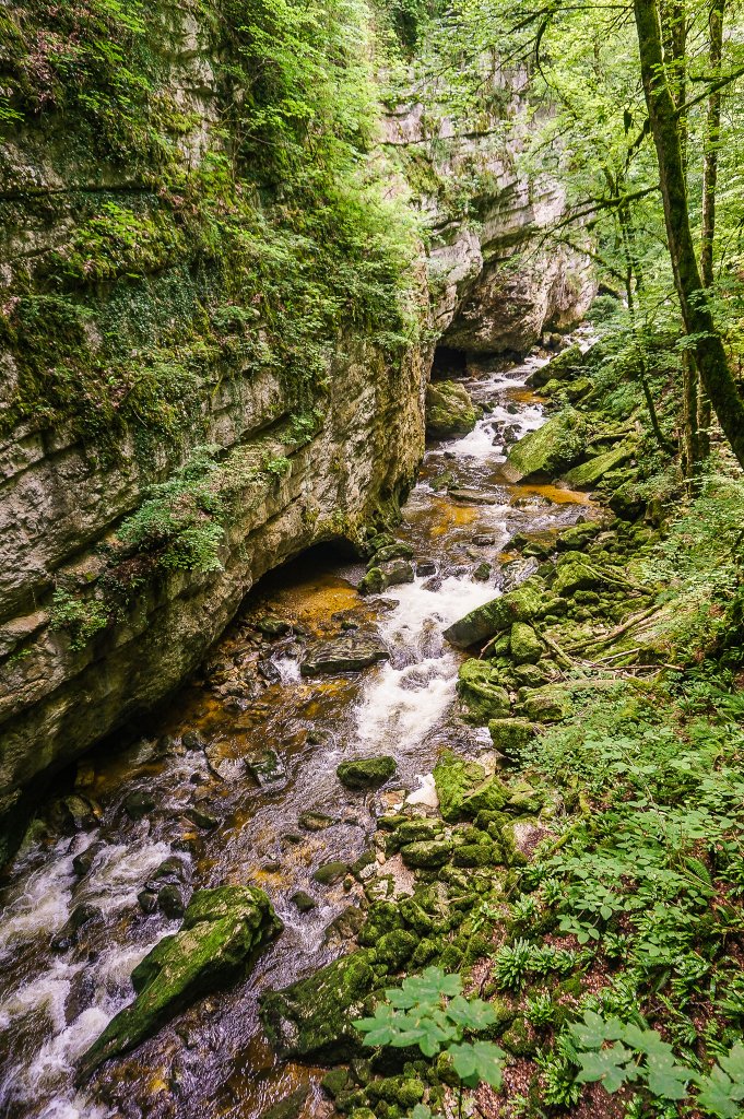
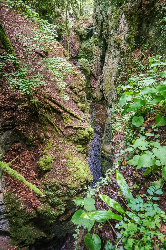
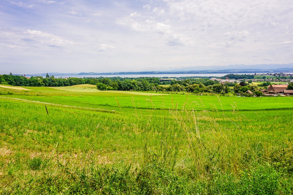
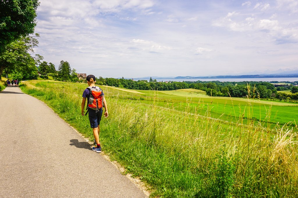
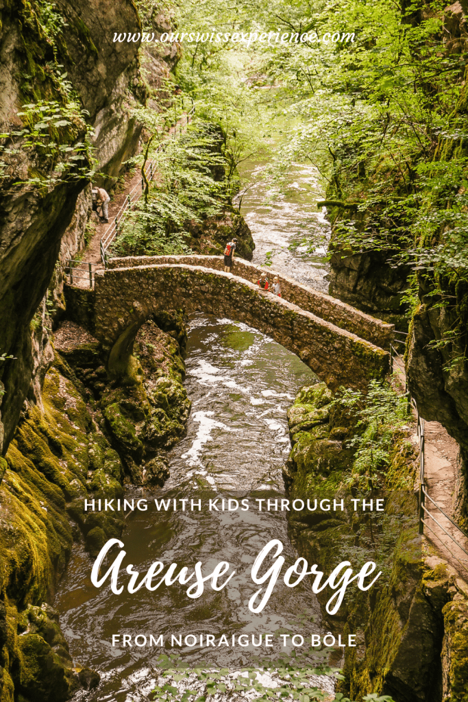
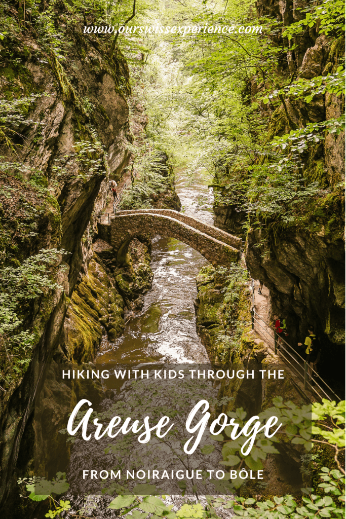
I admit that as we approached the start of the route that would lead us to the iconic bridge in the Areuse River Gorge, I was afraid I would be disappointed. That it would be another tourist trap. Or rather, a place where hordes of tourists would crowd around trying to catch the best shot and there would be nothing else to see. Oh, how glad I was to be able to say at the end of the hike that I was wrong! Yes, the arched stone bridge “Saut de Brot” is probably the most photographed spot in the Gorges de l’Areuse, but the 11 kilometers hike along the river offers beautiful scenery alongside.
Getting there
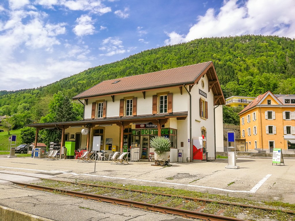
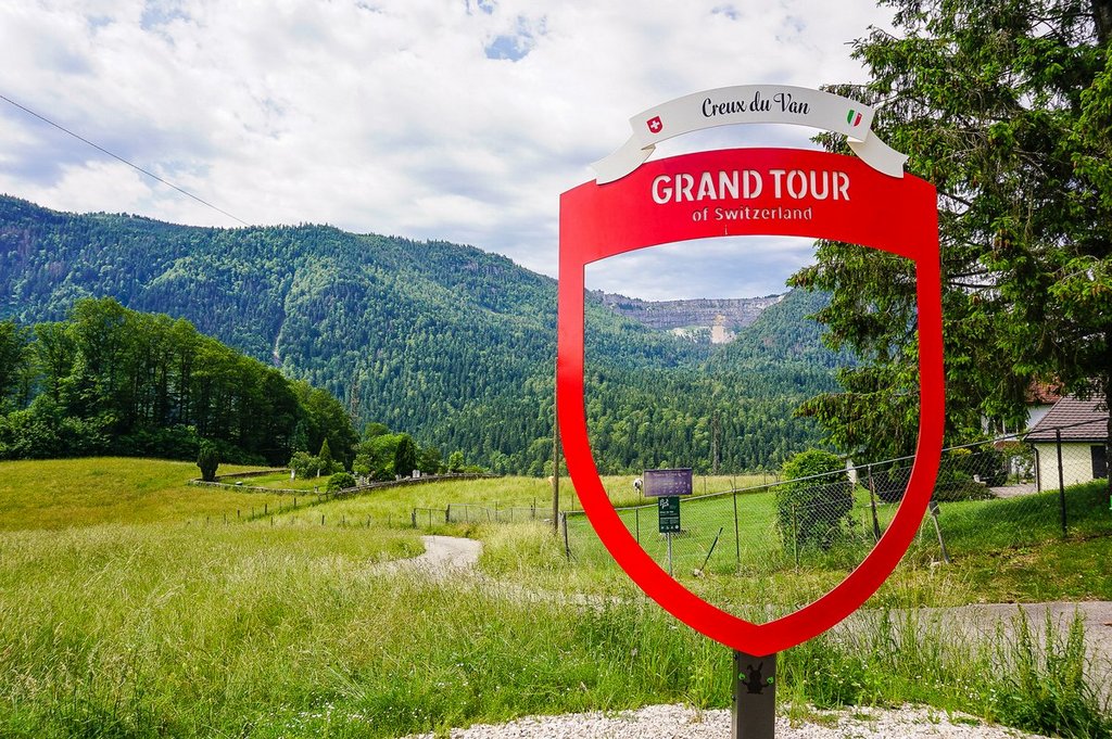
The starting point of this popular hike through the Areuse Gorge is the small village of Noiraigues in the Val de Travers. It is located in northwestern Switzerland near Neuchâtel, about an hour west of Bern. If you are driving, be sure to stop at the viewpoint and photo spot of the Grand Tour of Switzerland in the village of Brot-Dessous less than 4 km before Noiraigues.
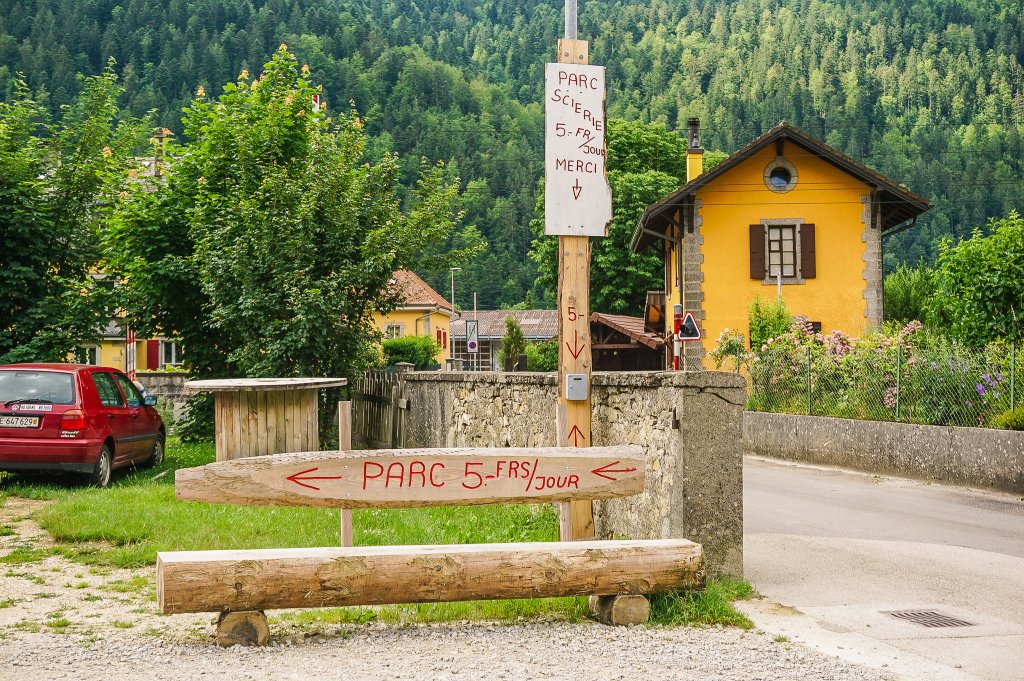
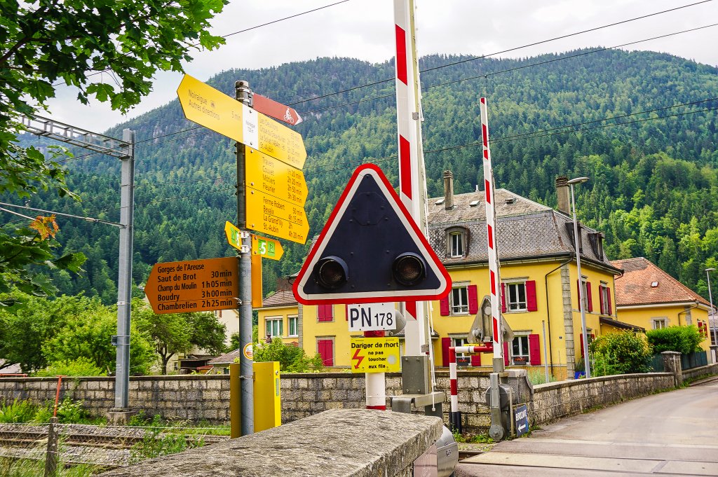
Drive to the Noiraigue train station and park either at the station or drive about 300m further along Rue de l’Areuse and just before the railway crossing you will find a car park (5 CHF/day). As the place is busy not only as a starting point for a hike along the Areuse River but also for the Creux du Van rock massif, you’ll find two more car parks a little further on (Parking des Courtons and Parking du Devins – 10 CHF/day).
Noiraigue – Bôle
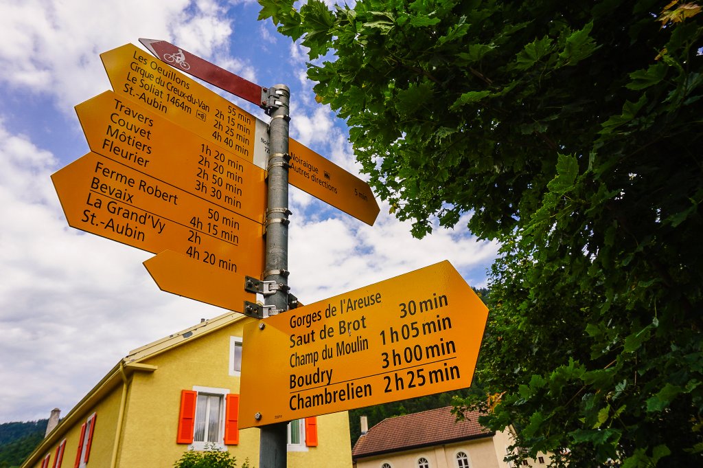
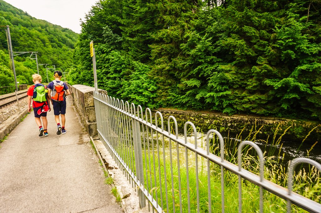
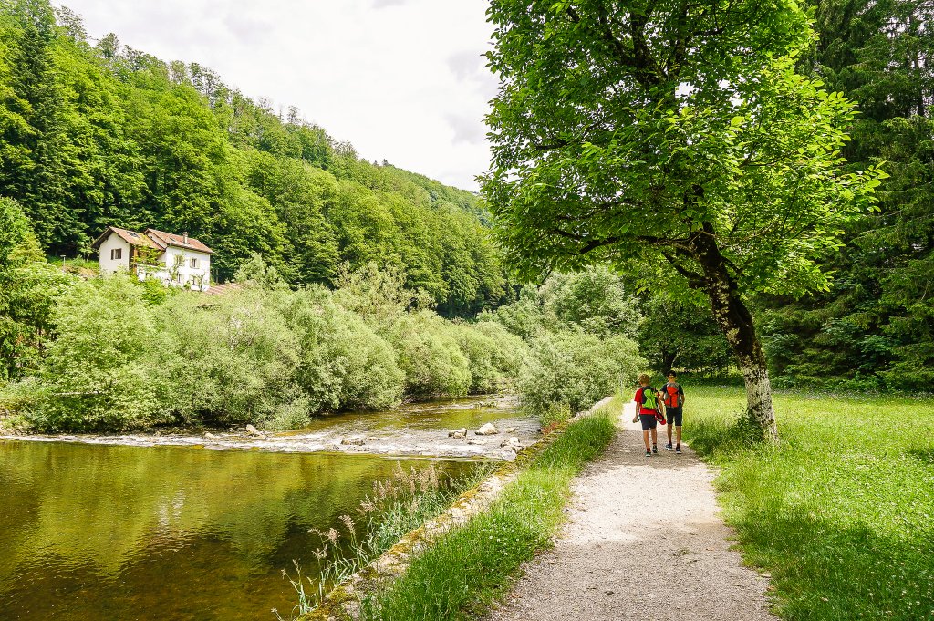
From the car park, follow the yellow trail signs in the direction of Gorges de l’Areuse/Boudry. The trail starts on a paved path along the railway and river and gradually descends into the gorge.
As I mentioned at the beginning, the stone arch bridge “Saut de Brot” is the highlight of the hike in the Gorges de l’Areuse and the most photographed landmark. It is located approximately 2.5 km from the start of the route.
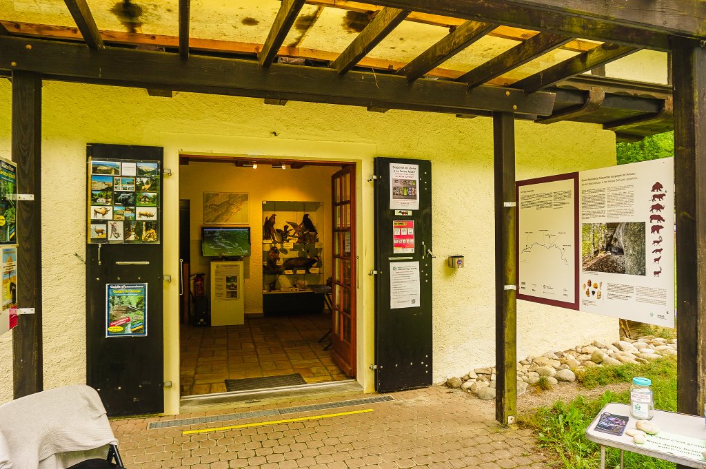
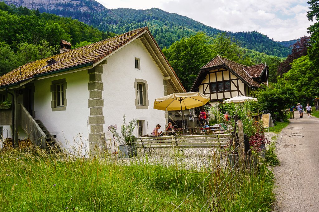
In the middle of the trail, you will come across a café next to the Maison de la Nature (it is free to enter) and soon after that another signpost. If you want to shorten your route here, head left in the direction of Champs du Moulin, where you can catch the train back to Noiraigue.
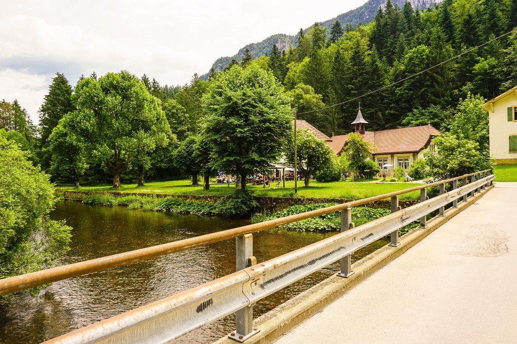
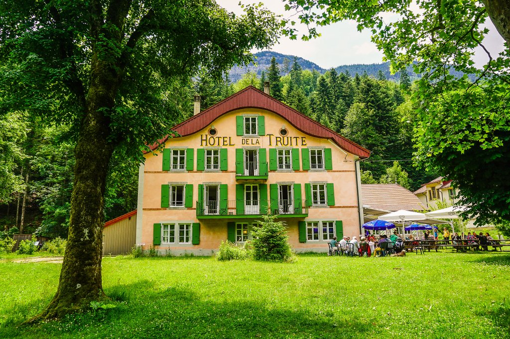
But I think it would be a pity, because the second half of the route is even more impressive than the first. But if you need to refresh yourself, you can do so at the Hôtel de la Truite restaurant when you cross the bridge to the right.
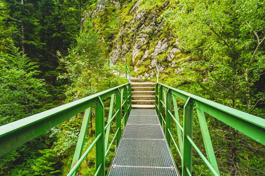
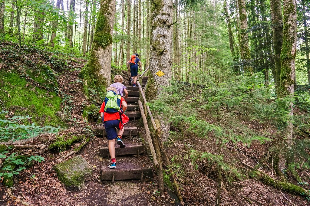
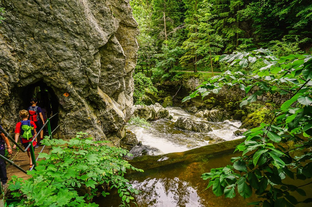
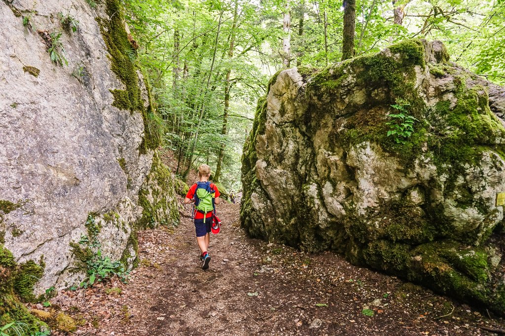
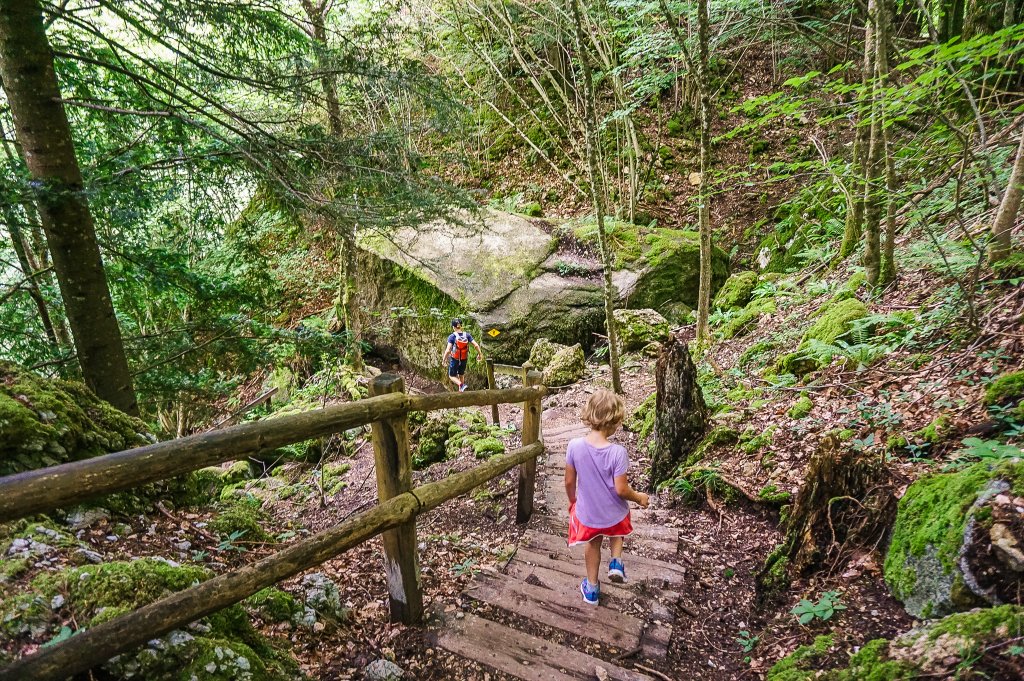
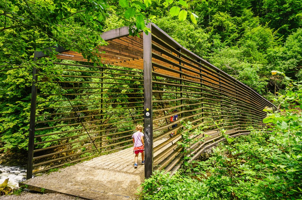
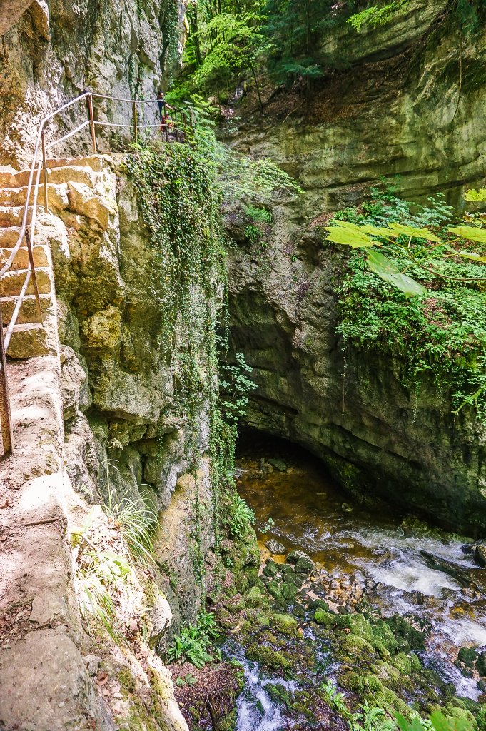
In the second half of the trail you will have to go up and down some steps, cross footbridges, walk throught the tunnel, but it is a very varied route and you will certainly not get bored.
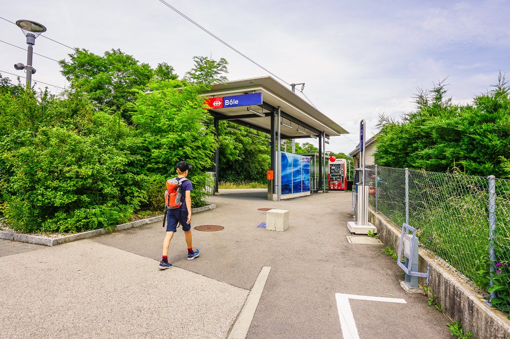
At the Pont de Clées signpost, do not continue in the direction of Boudry, but turn left and start climbing in the direction of Bôle. From here there is a direct train back to Noiraigue (thanks to Renata for this tip). The train runs once an hour (always at .50) and the journey takes just 12 minutes.
Summary
- The trail is 11 kilometers long and is not suitable for strollers.
- A lovely walk through beautiful nature, although quite steep at times and quite a few steps to climb.
- There are many picnic spots along the way. Or you can have a picnic right on the rocks on the riverbank.
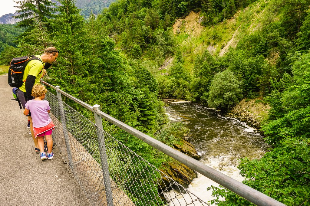
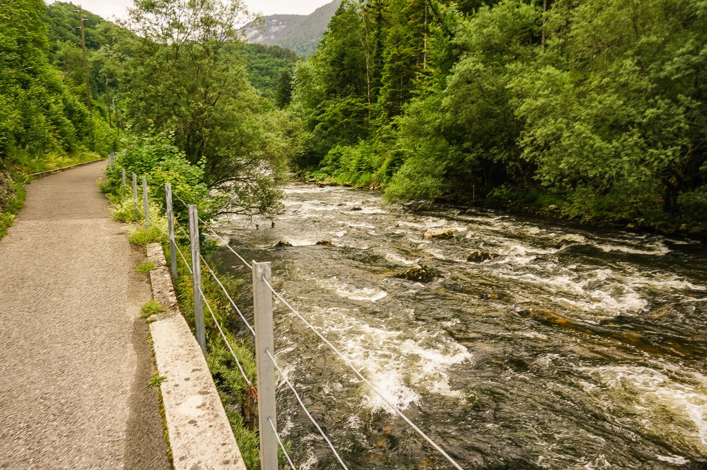
- If you would like to take a refreshing dip in the river, be careful especially with small children – choose shallower places where there is no strong current.
- I would definitely love to come back here sometime in the autumn when the leaves on the trees change colors – that must be an amazing sight too!


