Tempted to hike one of the six narcissus trails in the hills above Montreux on the Swiss Riviera, but want to avoid the crowds of tourists? Then head out on the less than five-kilometer loop trail starting and finishing in the village of Glion. As my husband and I agreed, we found the trail so charming and varied that we would have enjoyed it even if there were no narcissi in bloom. Don’t you believe it?
Narcissus trails above Montreux and Vevey
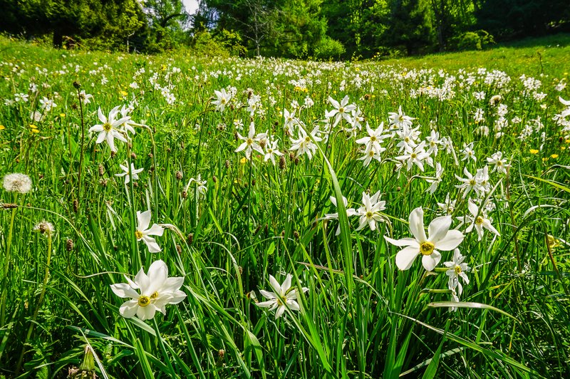
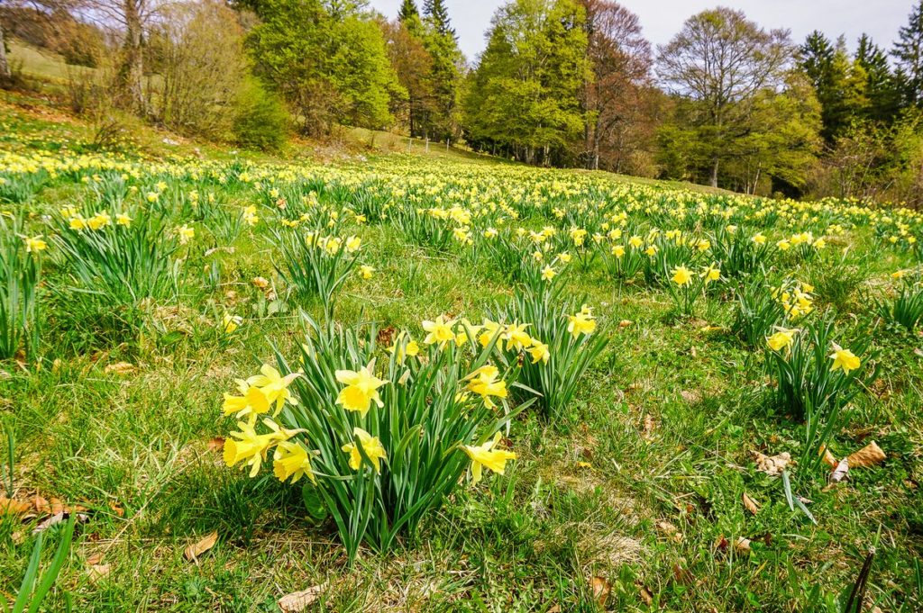
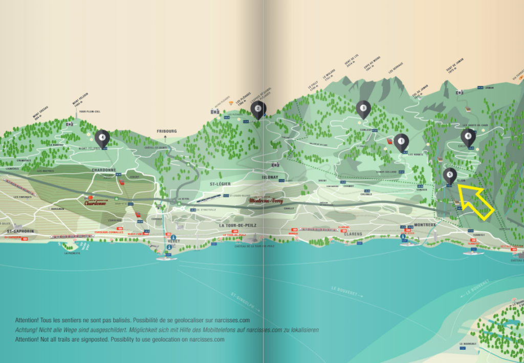
The hilly area above Montreux and Vevey in the canton of Vaud is famous for its meadows full of narcissi, which bloom from late May to early June. Unlike the narcissi in Les Prés-d’Orvin, these are white and are therefore called ‘May snow’. The most famous routes are in the area of Les Avants (1), Les Pléiades (2), Orgevaux (3), Mont-Pèlerin(4), Glion (5) and Haut-de-Caux (6). I probably don’t need to tell you that my goal is to walk them all 🙂 Since the routes are at different altitudes, the daffodils bloom accordingly. You can find a great interactive online map to see which routes the narcissi are blooming here. Keep in mind that not all trails are marked and it’s a good idea to download the GPS coordinates to your mobile phone or hiking app. We have chosen route 5 for this time, starting and finishing in the village of Glion.
How to get to the narcissus trail in Glion
By car
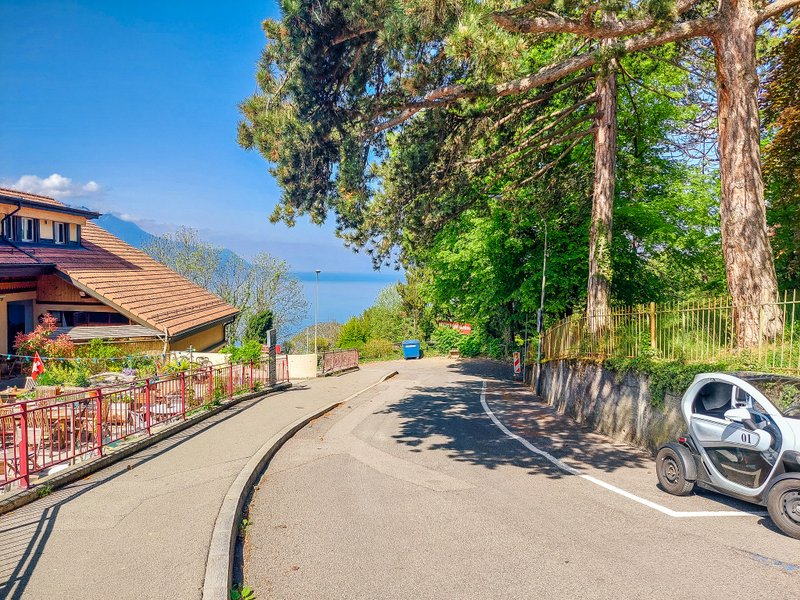
The route starts in the village of Glion above Montreux. Parking is available directly at the local train station on Route des Chemins de Fer 5, 1823 Glion. It looks like this:
Territet – Glion Funi
We opted for an alternative and took the funicular to Glion from the local part of Montreux Territet. At the cable station on Sent. de Rosemont there is a small parking lot for about 10 cars, where you can park for a maximum of 3 hours from Monday to Saturday (1,20CHF/hour, you can put euros in the machine in addition to francs and change is not refundable). On Sundays, parking is free and not limited. You can also get to the Territet station from Montreux by train (line S5, it’s one stop and the station is right across the street) or by bus (line 201).
The funicular runs every quarter of an hour, always at .12, 27, 42, 57 and the ride takes 6 minutes. A one-way ticket costs 5,60CHF and 2,80 CHF with a Half-fare card.
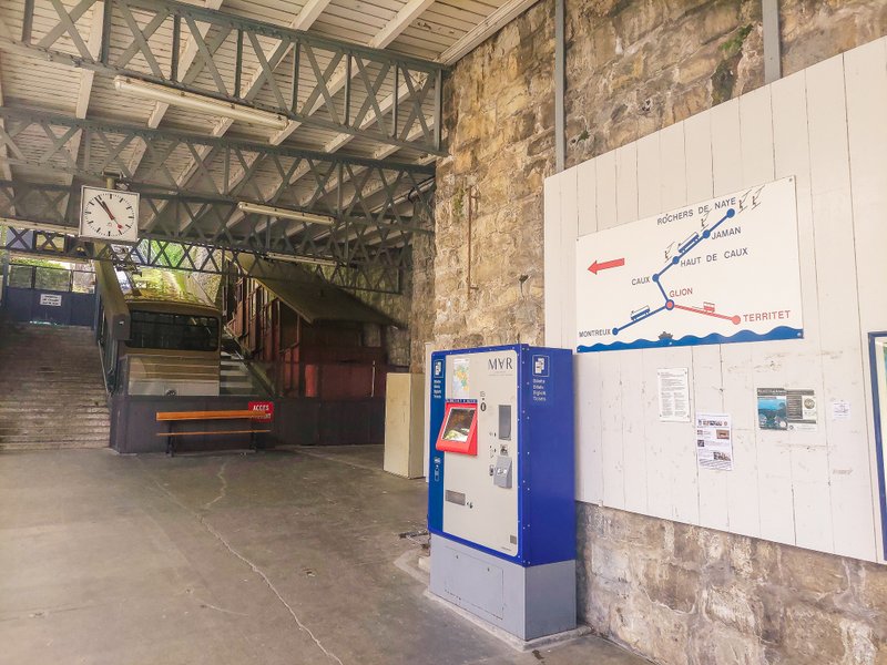
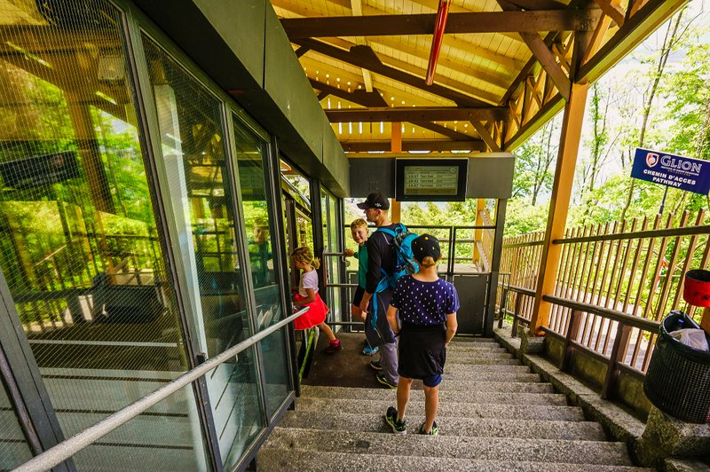
Montreux – Glion mountain train
You can also leave your car parked in Montreux (Parking de la Gare) and take the train to Glion, which continues on to the popular Rochers de Naye. The mountain train runs every hour from Montreux station (platform 8), always from 8:17 am. A one-way ticket costs 5,60CHF, and 2,80 CHF with a Half-fare card.
Narcissus – the symbol of the Riviera
Unfortunately, the abundance of the Riviera´s symbolic flower is steadily decreasing. You can also protect the narcissus by following a few simple rules:
- Don’t pick narcissi in private fields.
- Don’t pick narcissi with their leaves and if the ground is muddy (this may damage their bulbs).
- In public fields, picking narcissi is limited to 1 handful per person.
- Buy bouquets from farmers, who are usually present on footpaths sides.
- Don’t walk or lie on the narcissi.
Sentier des Narcisses trail overview
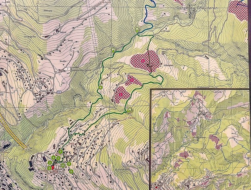
Right when you get off the funicular, you will see an information panel describing the route. However, the description is only in French. You can also find the route description on the official website. Here the trail is marked clockwise. However, it wasn’t until we set off on the trail that we discovered that the trail markings are counter-clockwise. Okay, we could have saved ourselves one detour on the trail, but I’ll get to that.
Start of the trail
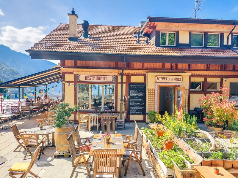
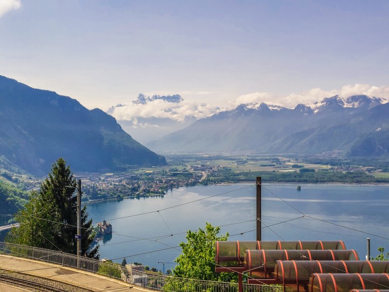
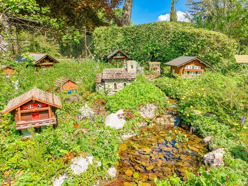
The trail starts right at the train station. Here you can enjoy the beautiful views or refresh yourself in Buffet de la Gare restaurant. Next, you’ll follow the Route des Chemins de Fer past a miniature village and then right along the Route de Caux. Turn left at the local Catholic church.
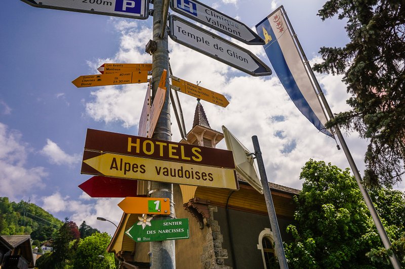
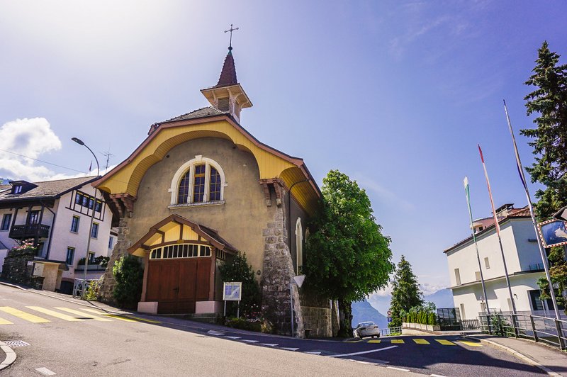
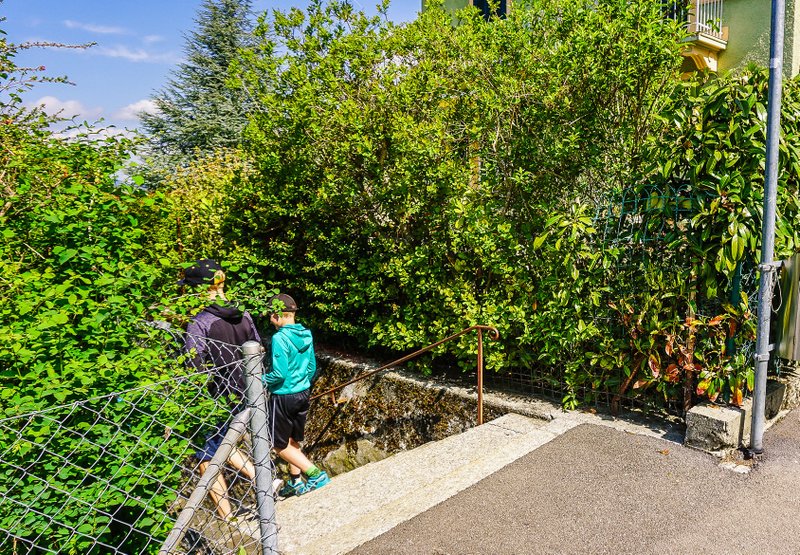
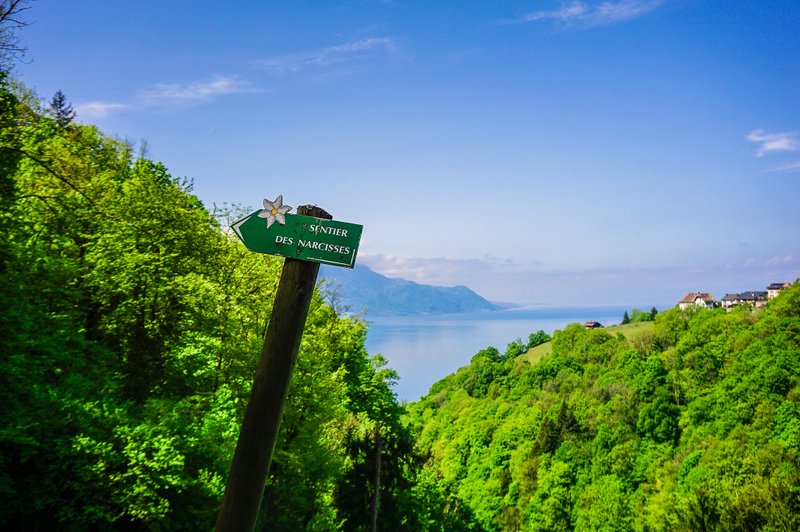
You will reach the staircase of the Escalier de Fleurettes. My mistake, I only read the beginning of the description on the information board that the route starts at the Escalier des Fleurettes. I hadn’t read that it was to continue along the Chemin de Tornafou. So when we saw a hiking sign by the steps turning left and saw a group of hikers going in the same direction, we followed them. And so it was that we followed the trail in the opposite direction of the signs (however, as I wrote above, the official website shows this direction as correct).
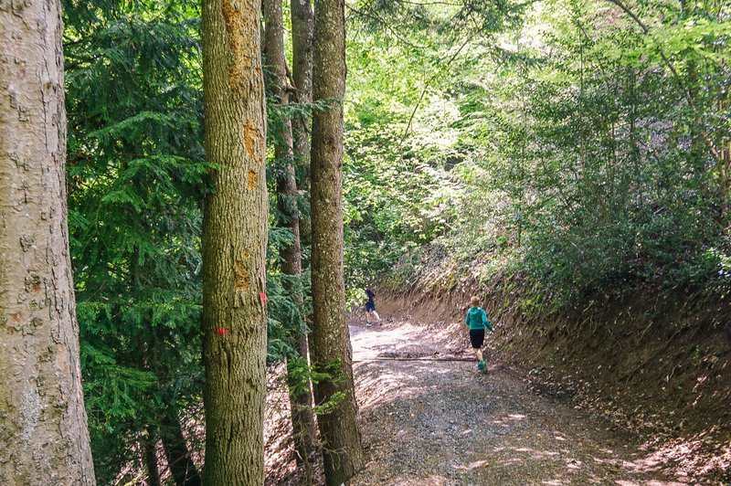
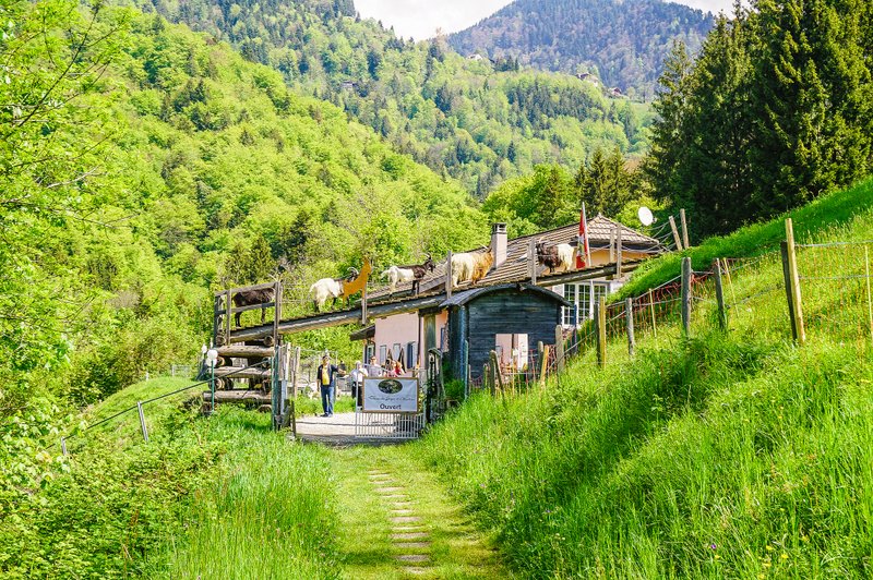
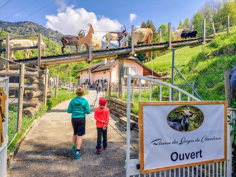
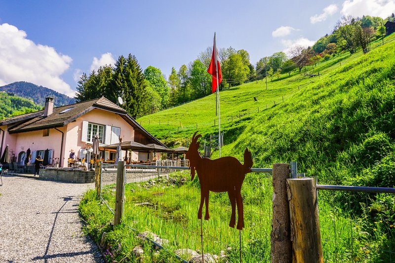
La réserve des Gorges du Chauderon
After less than a kilometre and a half, you will reach the restaurant La réserve des Gorges du Chauderon. If you don’t want to linger to observe the various breeds of goats or enjoy the menu (which includes beef tartare, soups, and various types of pies), turn left before entering the grounds onto the narrow path along the fence.
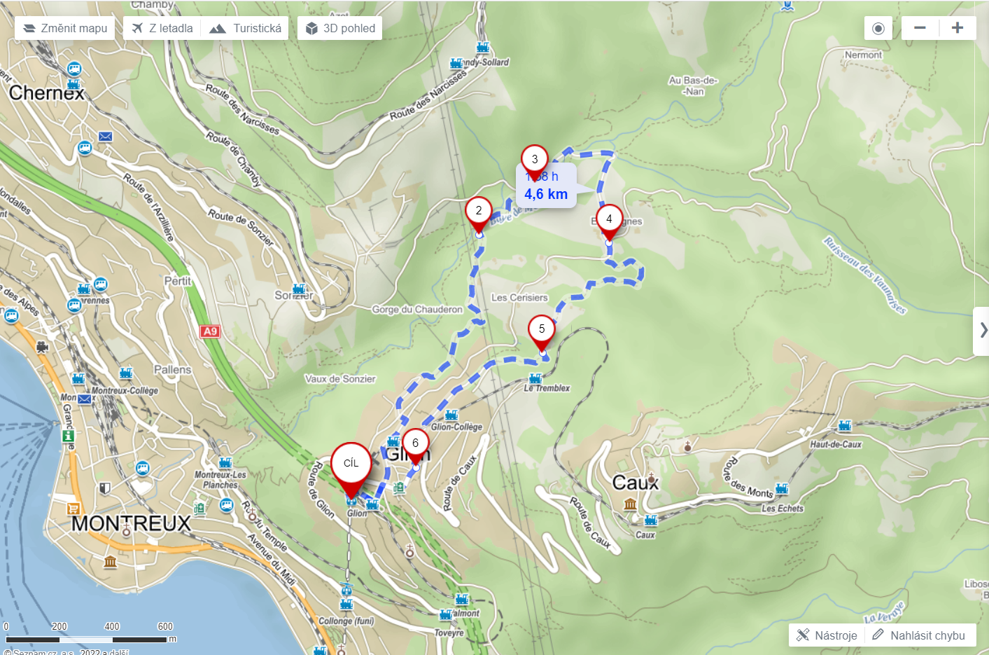
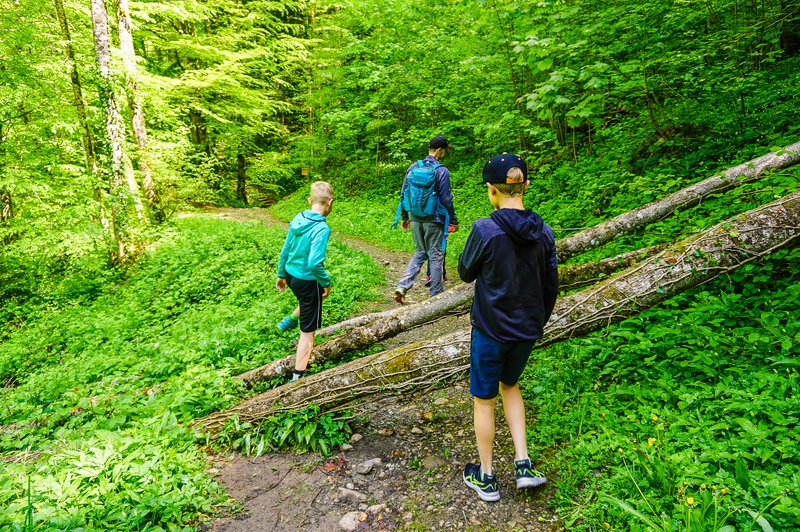
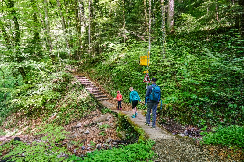
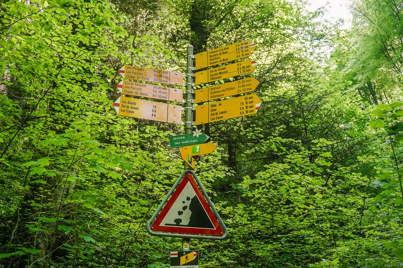
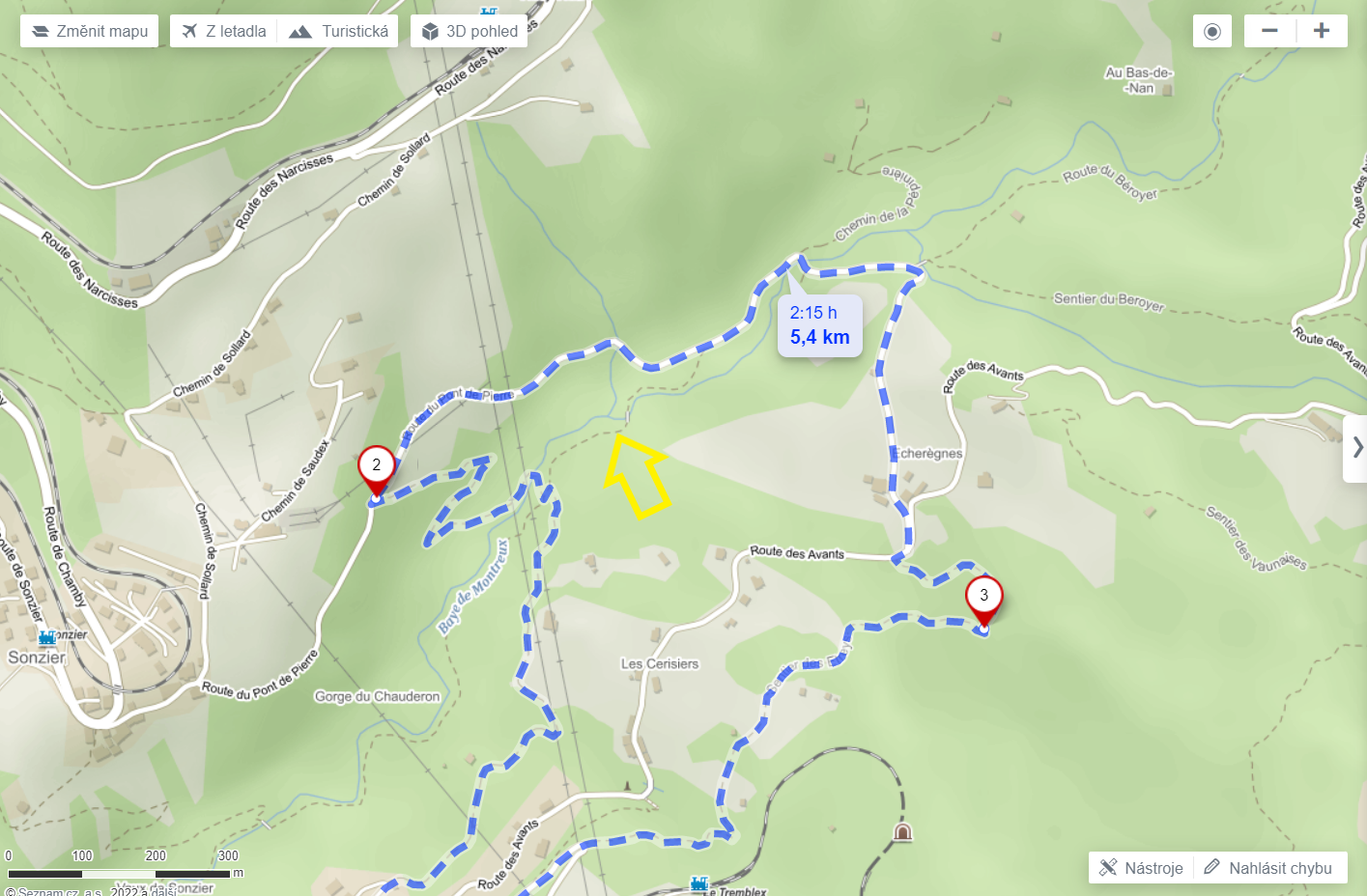
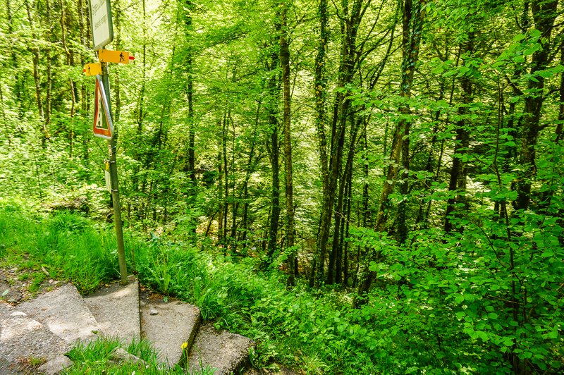
Then the trail continues along the path from the restaurant toward the valley. There is a strong smell of wild garlic along the way. At the signpost (see photo) we made the mistake I wrote about above. We were confused that we should now take the “Bergwanderweg”, which was not mentioned on the official website. So we continued left along the Via Alpina. You can see how far we went, and which way we should have gone, on the map below. So please, when you go that way, go in the direction where you see the steps in the photo.
Baye de Montreux
So we continued on up the valley to Baye de Montreux. The Baye de Montreux is a river that flows from the Soladier Pass into Montreux. In its lower part, it cuts into the deep Chauderon gorge (the route from Montreux to Les Avants runs here, but is closed at the moment). After crossing the bridge, we had quite a steep zig-zag climb to the road. Again with a strong smell of bear garlic.
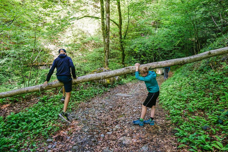
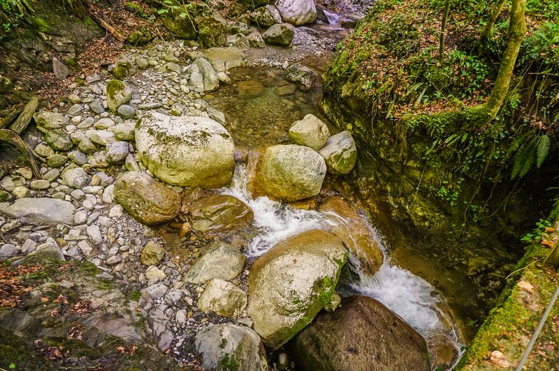
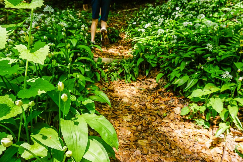
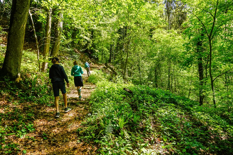
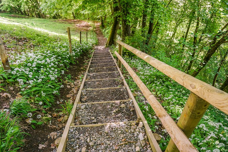
Then we continued along the paved road. Eventually, we came across the place where we were originally supposed to come out of the gorge. Anyway, it was just less than a kilometer extra 🙂 But we knew we were on the right route again. After crossing the stone bridge, we had another climb, but by then we were rewarded with the sight of the first meadow dotted with narcissi.
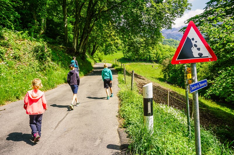
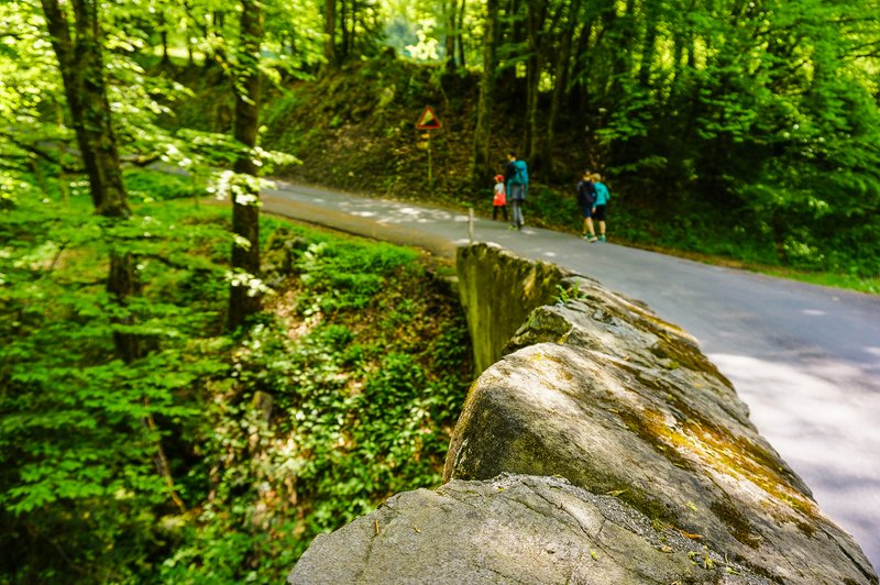
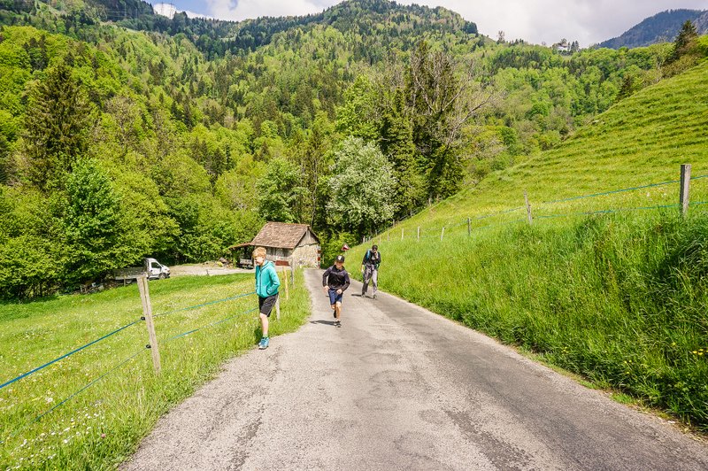
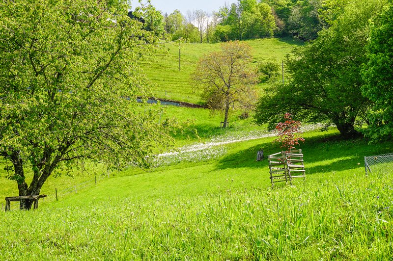
After the settlement of Echerénges we entered the forest again. But here the first views of Lake Geneva and the narcissus meadows began to reveal themselves.
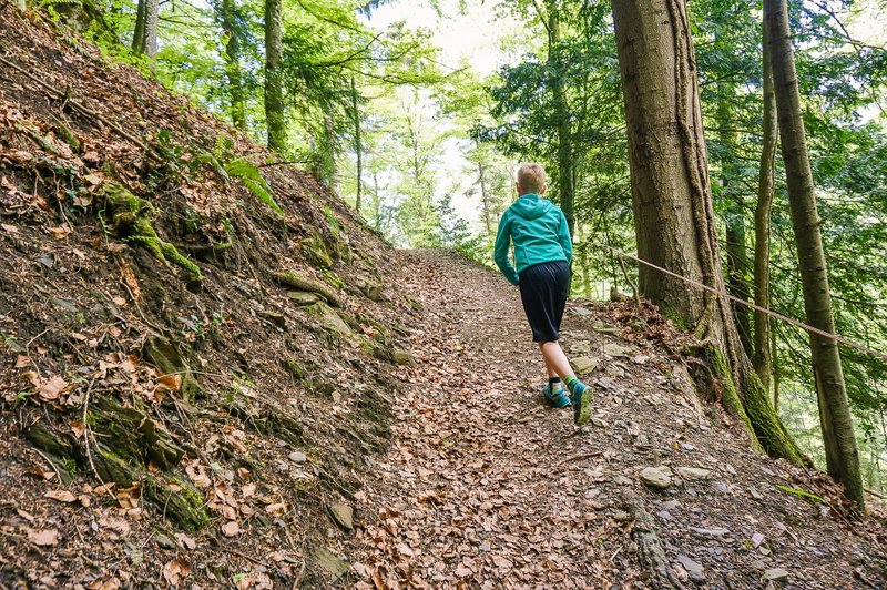
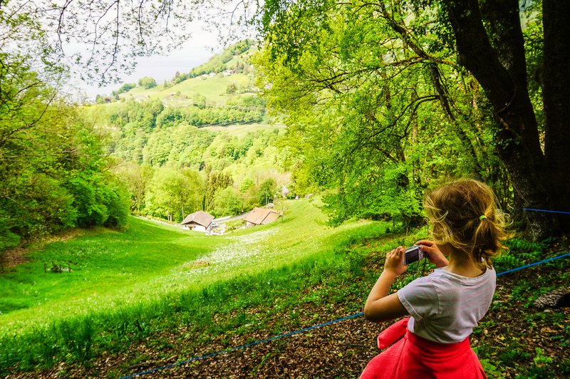
You can clearly see from my expression how excited I was when we got to the biggest one.
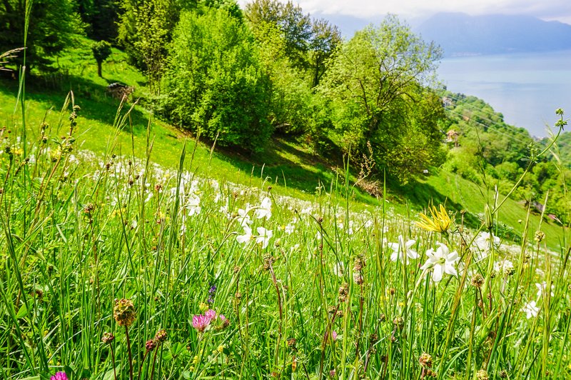
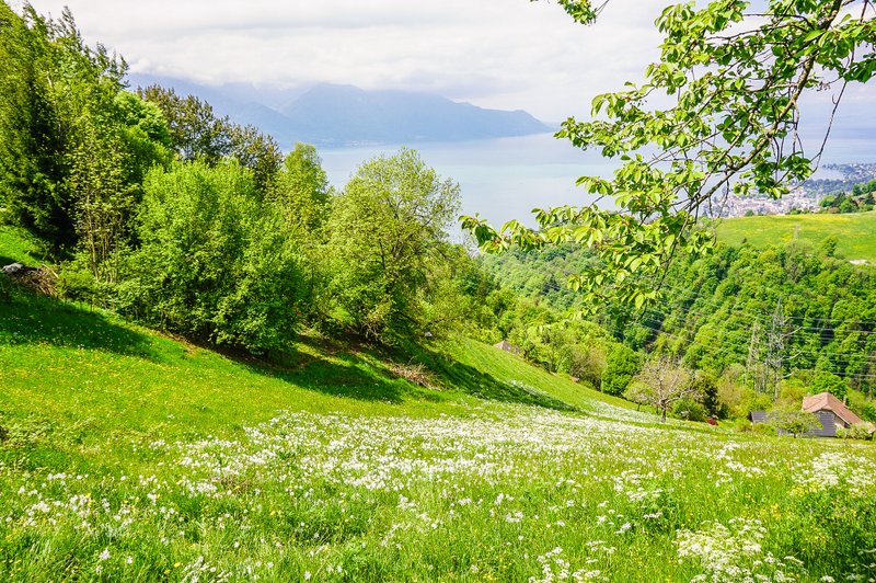
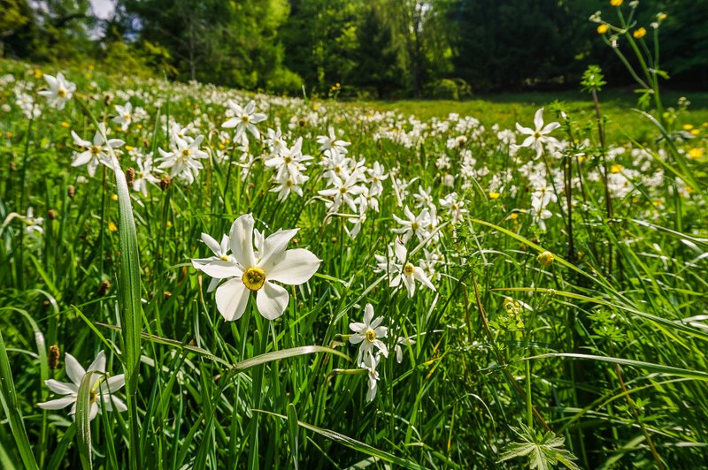
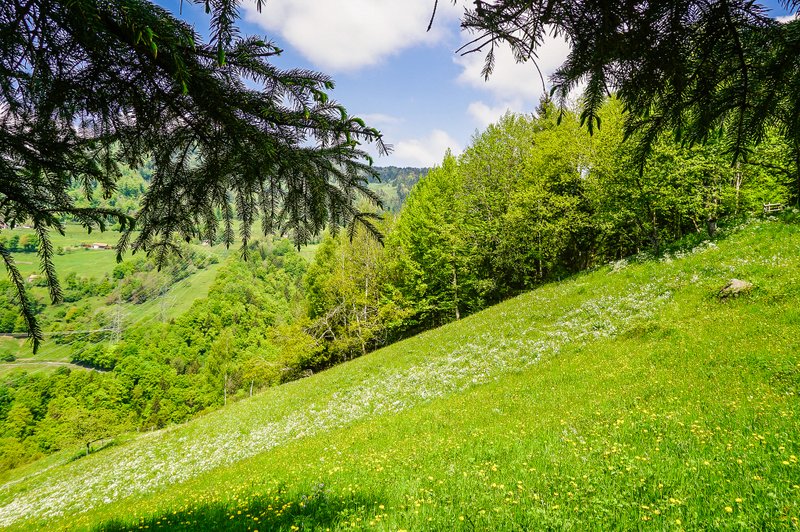
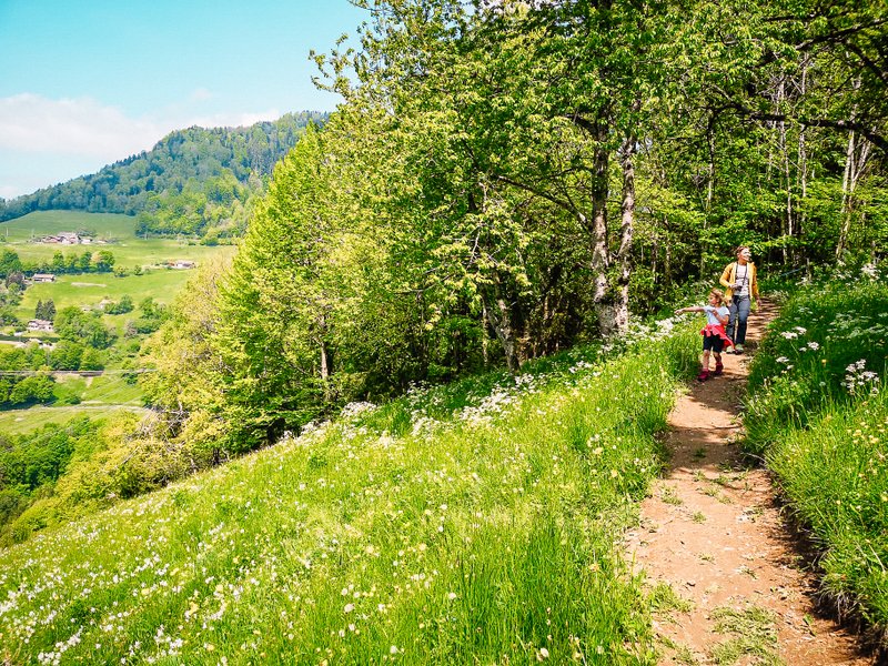
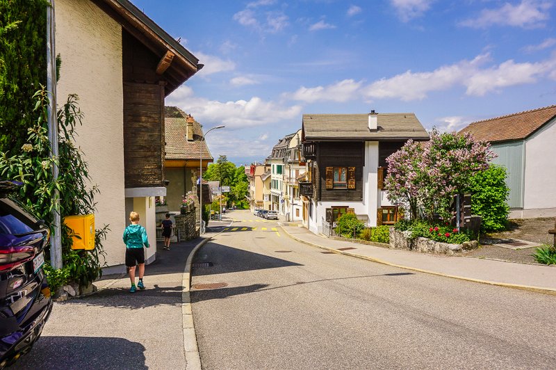
Along Sentier des Etreys we got back to Glion after 1,5 km.
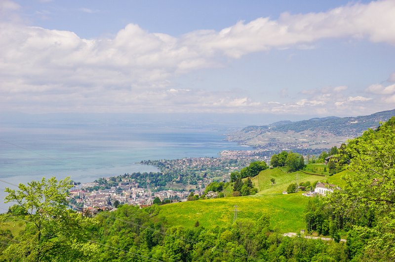
Summary
- The trail is 4.6 km long.
- The trail is not suitable for strollers.
- You can also take your dog on the trail, but you must keep him on a leash all the time.
- As we wrote in the introduction, this hike would have been beautiful without the narcissi – such a nice piece of nature above a touristy town on the Swiss Riviera.
- If you’re not a fan of daffodils but love bear garlic, head here a few weeks early and you’ll be in heaven!
You might also like
Les Avants Narcissus trail: 3 rookie mistakes to avoid
Hiking to the daffodils at Les Prés-d’Orvin
