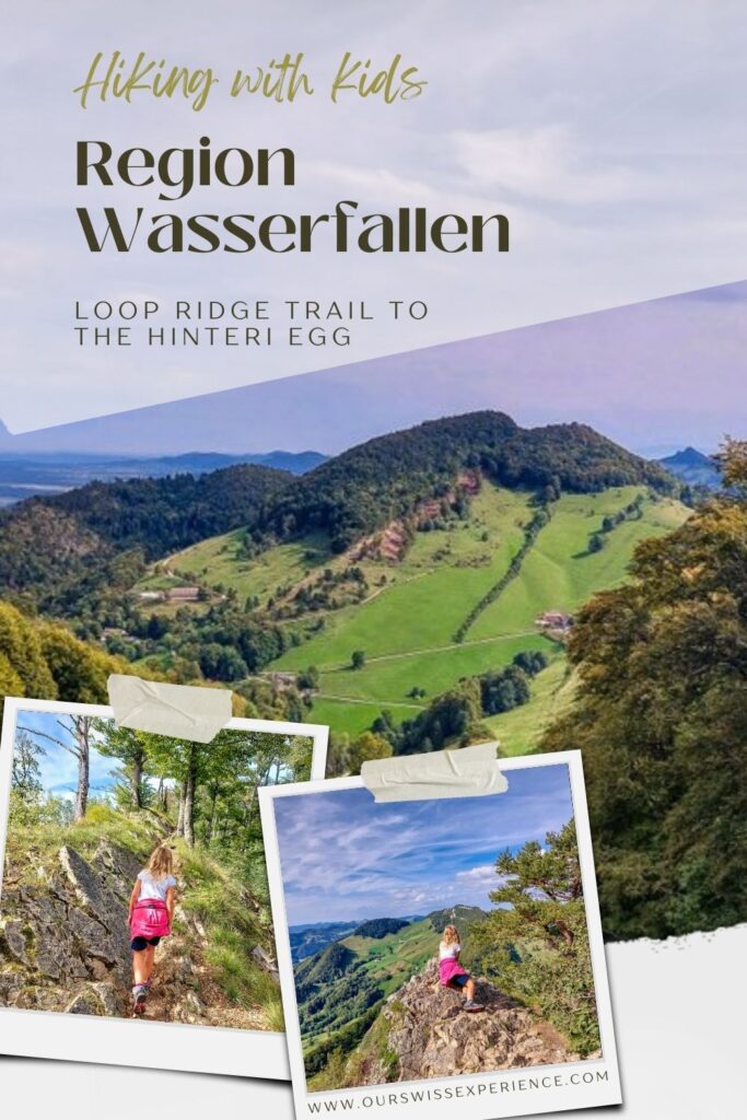
Like many others, the loop trail, which starts and ends at the Wasserfallen cable car station, has been on my bucket list for a long time. And so, one lovely Indian summer Sunday, my daughter and I headed to the canton of Basel-Landschaft to finally complete this route.
Wasserfallen region
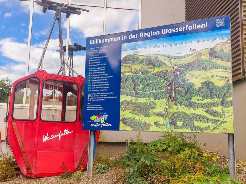
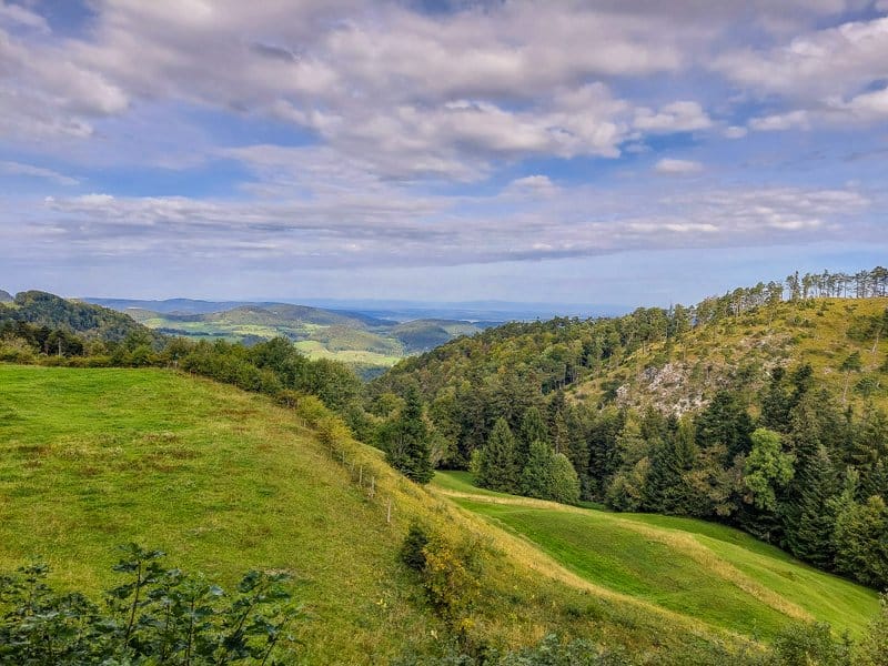
The Jura Mountains form the natural border between Basel-Landschaft and Swiss Mittelland. The Wasserfallen is one of the best places to view both landscapes and see as far as the German Black Forest and the Alps on the other side. The Wasserfallen is a popular destination for families with children as it offers plenty of activities for a fun day out. The cable car takes you from Reigoldswil to the top station, where you will find a large playground, a restaurant, and a rope park for children from 4 years old. You can also experience a bit of thrill on the scooters. And of course, it also offers plenty of nice hiking trails, for example, to the highest point of the canton of Basel-Landschaft “Hinteri Egg”.
Shortened Rundweg Wasserfallen Loop Trail
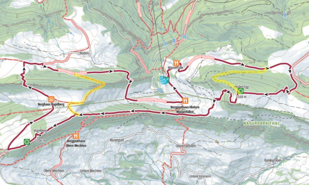
The original route of the Rundweg Wasserfallen (Schweizmobil 470), as offered on the Baselland Tourismus website, is 9.7km long. My daughter and I modified it a bit – the first shortcut was planned (we took a direct route through the forest to the top of Hintere Egg), and the second one was somewhat forced, as fatigue and the rugged terrain made an impact. So, we shortened the route at the Passwang signpost (1 148 m) and returned to the cable car station. We still managed to hike a lovely eight kilometers. See the map:
Getting to Wasserfallen
By car: the Luftseilbahn Reigoldswil-Wasserfallen LRW cable car station is located at Oberbiel 62, 4418 Reigoldswil. If you are coming from Bern/Solothurn, take the Oensingen exit and continue toward Balsthal, Langenbruck, Waldenburg, and Oberdorf until you reach Reigoldswil. If you are coming from Basel or Zurich, take the Liestal exit. There is free parking at the cable car station.
By public transport: From Basel, Zurich, or Olten, take the train to Liestal. From there, take the bus line 70 to Reigoldswil, Dorfplatz’s bus stop. From there, it is a 900 m (10 minute) walk through the village to the cable car station.
Opening hours and fares
The Wasserfallen cable car operates from May to October in high season and runs daily (including Sundays and public holidays) from 9:00 to 17:30. From November to April, it runs daily except Mondays. Tuesday through Friday from 10 am to 4:30 pm, and on weekends and holidays from 9 am to 4:30 pm. Check the website for current hours.
A return ticket for the Wasserfallen cable car costs CHF 24/adult and CHF 12/child. GA or Halb-fare card discounts are not accepted, but children with Junior Card ride for free. If you plan to ride down on a scooter like we did, buy a one-way ticket for the cable car (18 CHF) and pay for the scooter (13 CHF). Only children over the age of 10 can ride the scooter. Younger children can ride two with an adult.
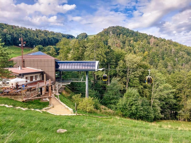
Wasserfallen – Hinteri Egg – Chellenchöpfli – Passwang – Hintere Wasserfallen loop trail
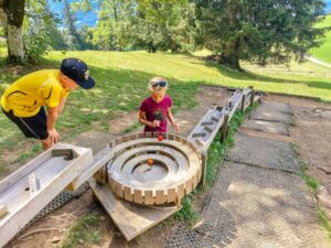
The loop starts at the cable car’s top station and goes past the rope park in the direction of Waldweid. But your first stop will probably be the large playground.
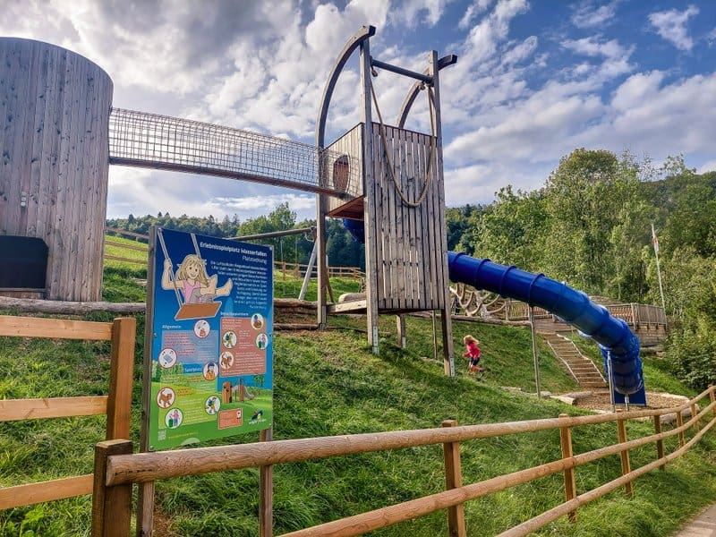
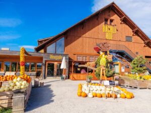
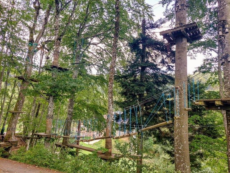
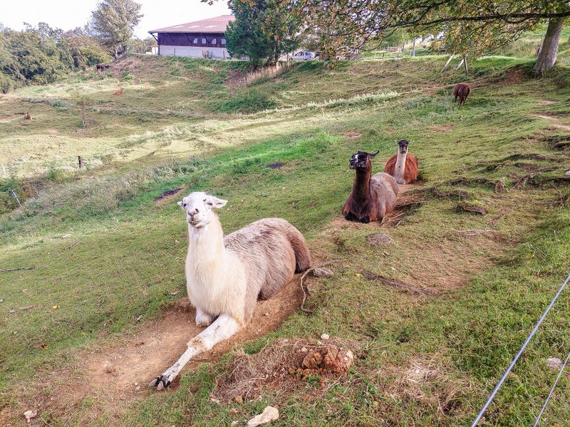
You will then walk past the rope park and make your way up a gentle incline along a wide path. Along the way, you will pass the Seminar Hotel Wasserfallen and the large farm Wasserfallenhof, where llamas are kept.
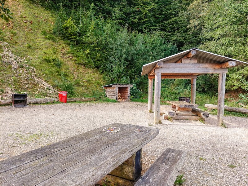
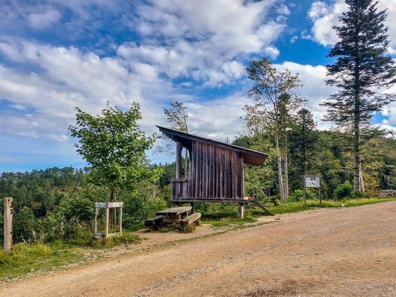
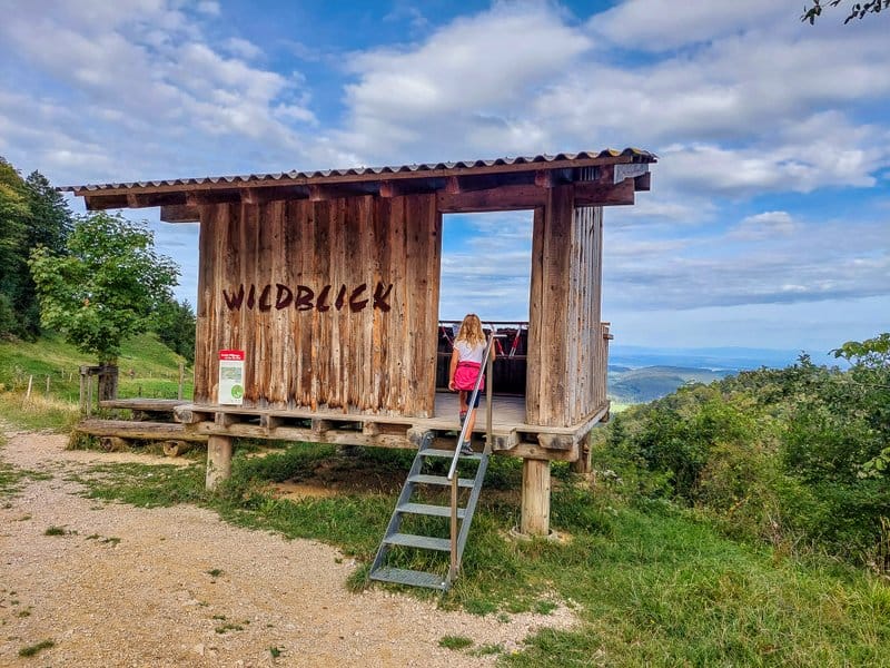
After about a quarter of an hour, you will reach the Grillstelle Hinteri Egg. In addition to tables, benches, and three fireplaces, you will also find the Wildblick lookout.
Less than half a kilometer later, you will not continue toward Waldweid at the signpost but turn sharply to the right. Then, follow the forest path to the left uphill at the next fork (just after the information board). Here, the climb begins, taking you up to the highest point of the canton of Basel-Landschaft: Hintere Egg.
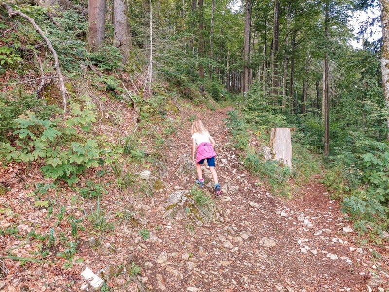
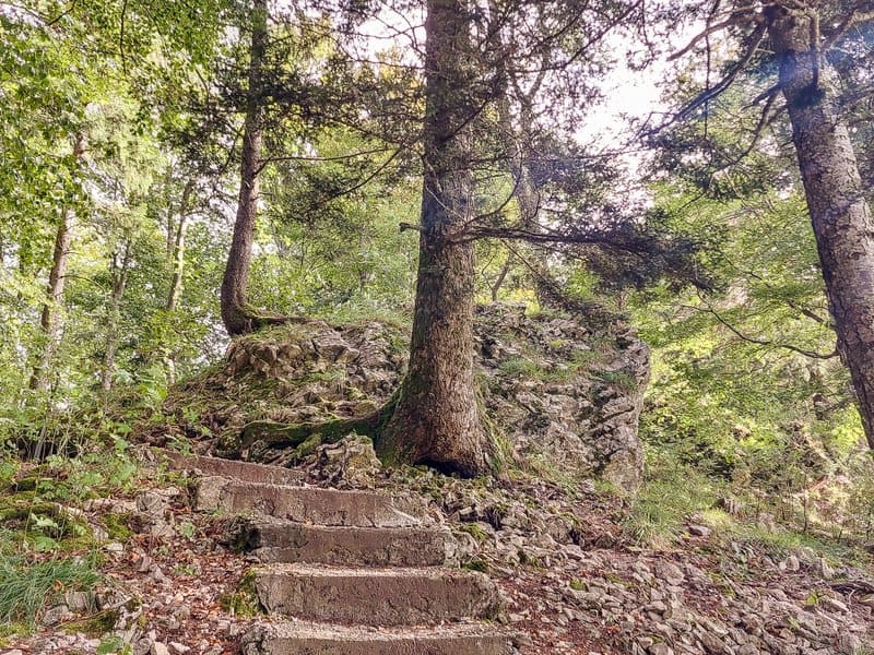
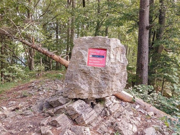
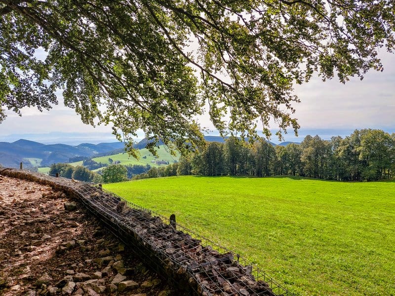
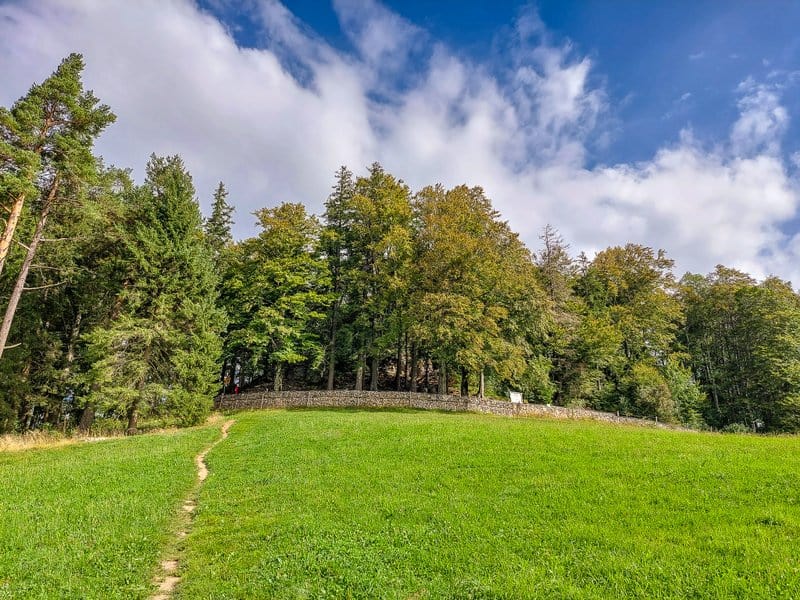
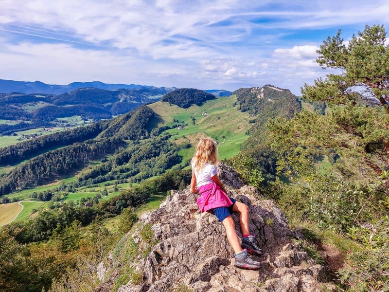
Unfortunately, there is no view from Hintere Egg. It opens up a few meters down by the picnic area. However, you will have an even better view from the nearby Chellenchöpfli lookout point (which is also the border peak of the cantons), Baselland, and Solothurn, which can be reached in 5 minutes. Here, you will find three lookout points near each other, from where you can enjoy views of the Mittelland area and the Alpine peaks in the distance.
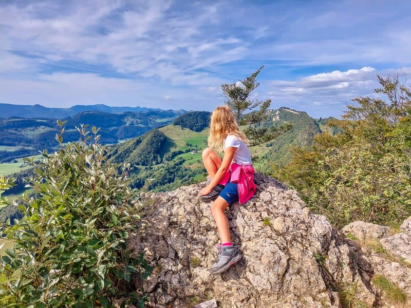
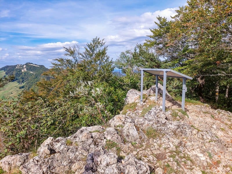
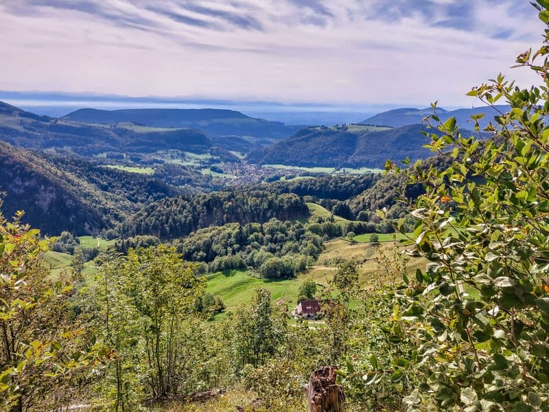
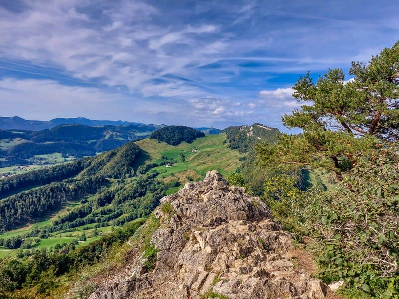
Then, you follow a zig-zag path down through the forest, and after about half a kilometer, you are on a ridge. If you want, you can shorten the route at the chapel of St. Rochus and return to the cable car station. But we continued in the direction of Passwang.
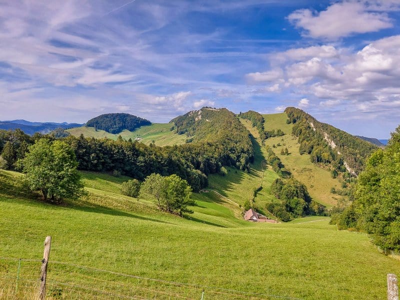
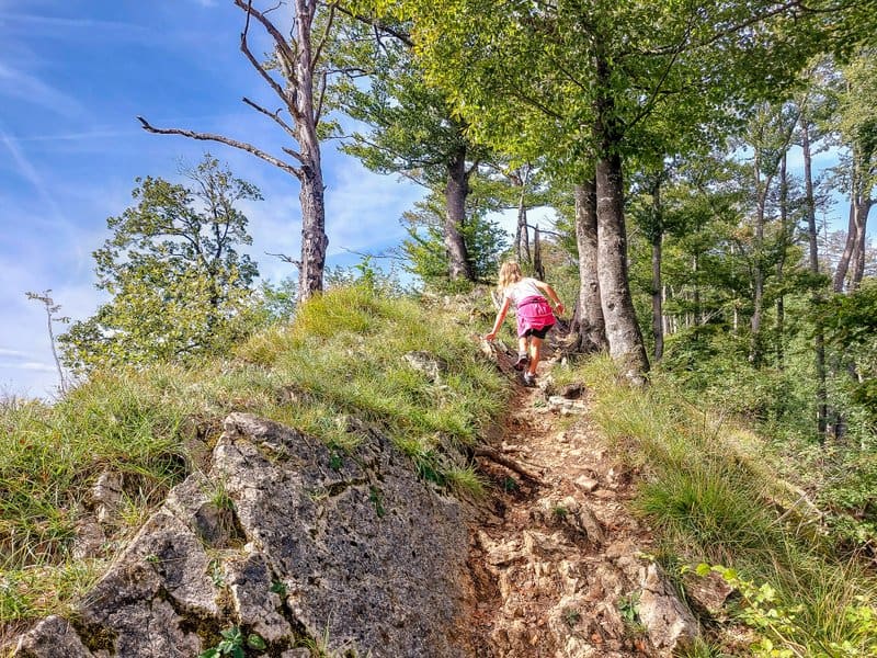

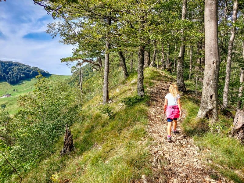
But it was here on Passwang that the decision was made not to continue to Vogelberg but to return. Yes, I admit I was a bit sorry, but my goal is not to completely ruin the child during our hikes.
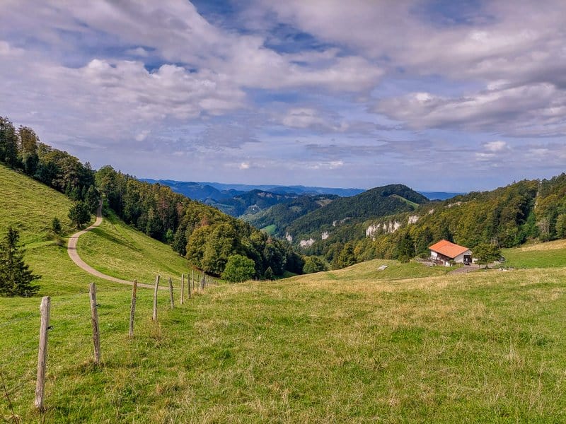
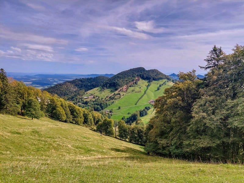
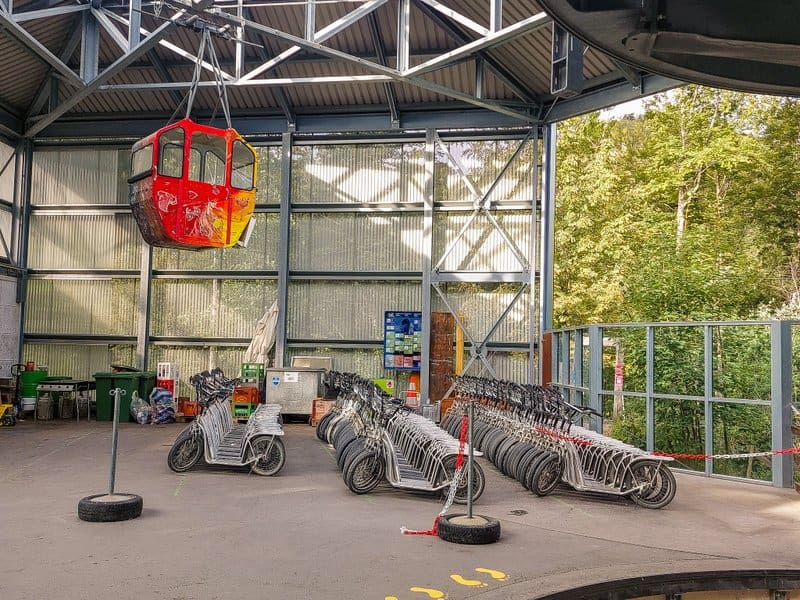
As I mentioned above, for the return trip, we rode a scooter, which you pick up at the cable car’s top station. I don’t have any photos because my cell phone battery ran out, and the power bank (which I forgot to preload) didn’t save me either. However, we enjoyed the 4.5 km long route and definitely recommend it 🙂
Summary
- The shortened version of the Wasserfallen Rundweg is less than 8 km long and unsuitable for strollers.
- Sturdy hiking shoes are recommended.
- Be careful at the Chellenchöpfli viewpoints, especially with more minor children.
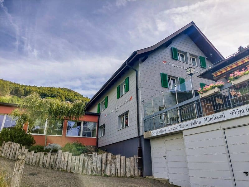
- You can use Restaurant Heidi-Stübli at the cable car station or Berggasthaus Hintere Wasserfallen for refreshments.
