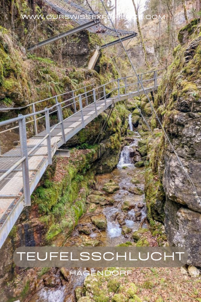
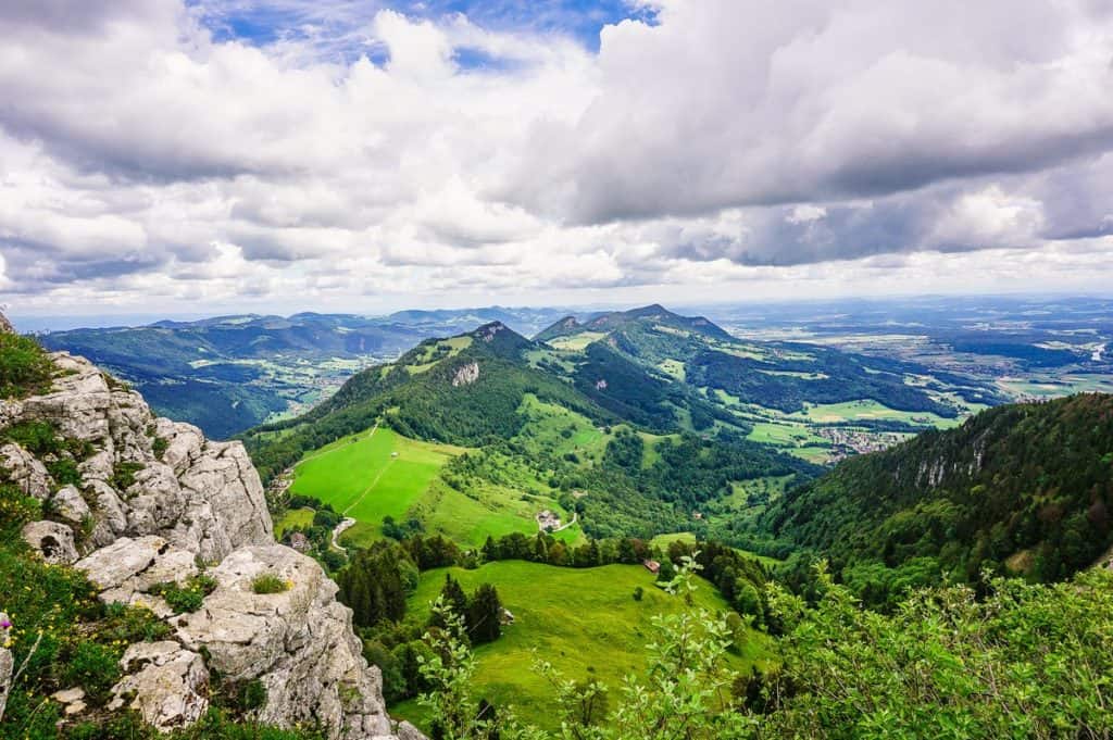
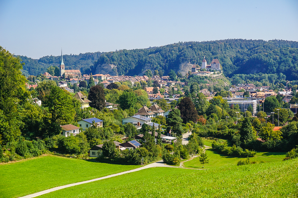
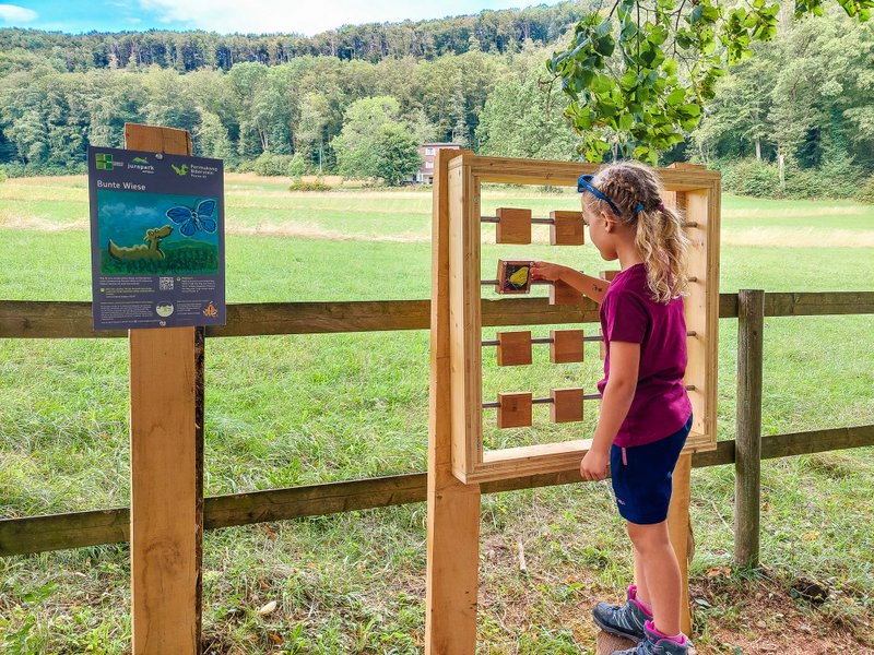
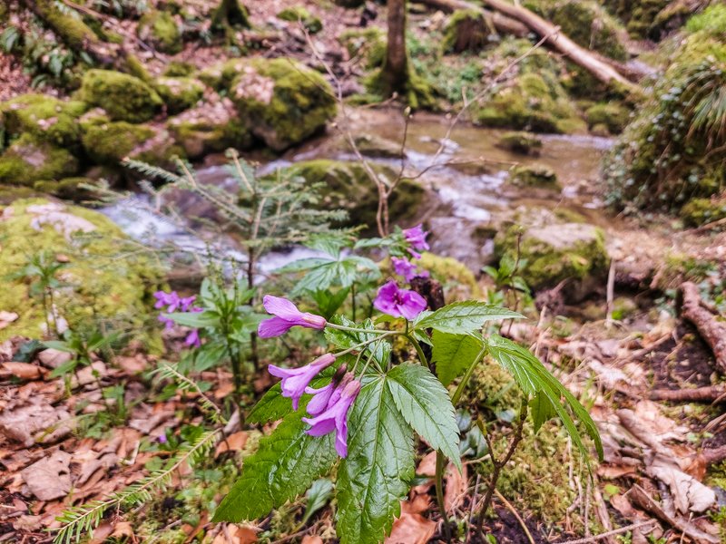
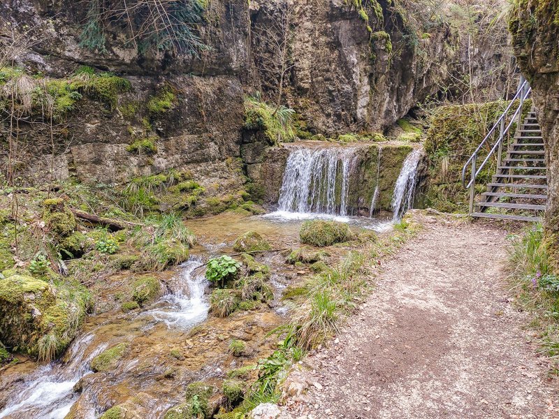
The trail from Hägedorf through the Cholerbach Gorge is pretty as hell, with many small and large waterfalls and interesting rock formations. And don’t be afraid! The devil, who is said to have wandered into the gorge, has long since been banished. This trail is great for the beginning of the spring hiking season, when there is still snow on the mountains, but you want to get out into the awakening nature.
A round trail through the Teufelsschlucht
Although on the website you can usually find a one-way route from Hägendorf to the Allerheiligenberg (or vice versa), we took a partly circular route, and at the same time, we walked almost the entire gorge. The starting point is in the town of Hägendorf, less than 45 kilometers (half an hour by car) south of Basel.
By car: If you are coming from Bern on the A1, take exit 45 Härkingen toward E35/A2/Karlsruhe/Mulhouse/Basel/Egerkingen. Shortly afterward, exit the A2 in the direction of Egerkingen/Olten and continue toward Härkingen. Right in the center of the village, there is a free car park at the starting point of the Teufelsschlucht (P Tüfelsschlucht Hägendorf, just behind the Coop supermarket).
By public transport: by train to Hägendorf or bus 555 to the Hägendorf stop, Teufelsschlucht.
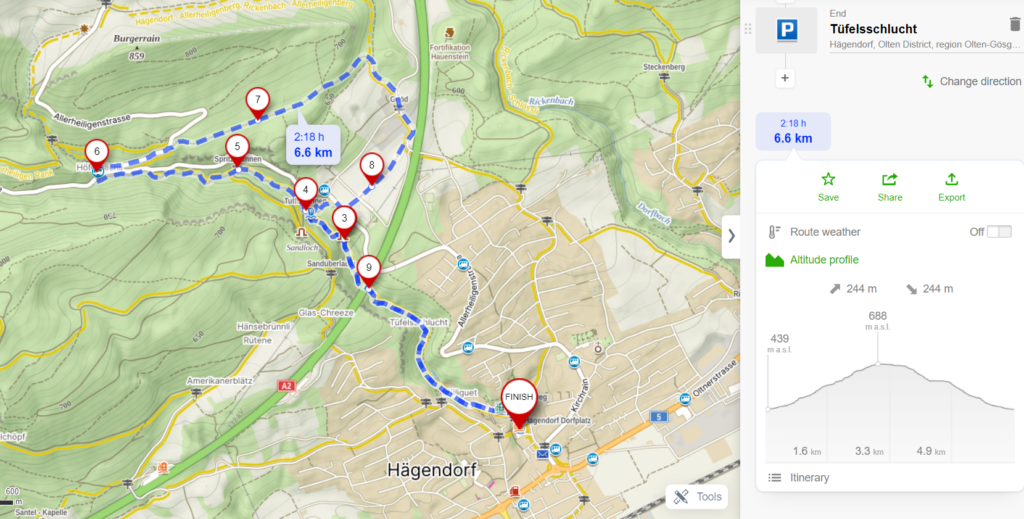
Start of the route
From the car park, follow the signs in the direction of Tüfelsschlucht. Cross the narrow bridge and turn left. At the beginning of the trail, you will come across a barbecue area. There are several along the route.
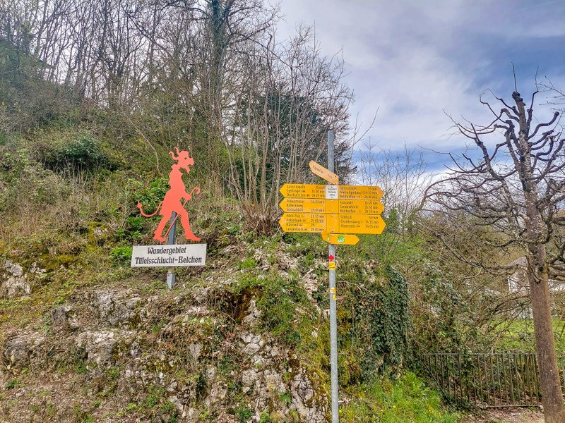
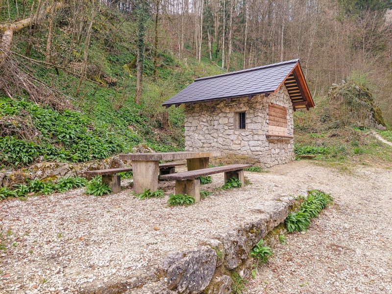
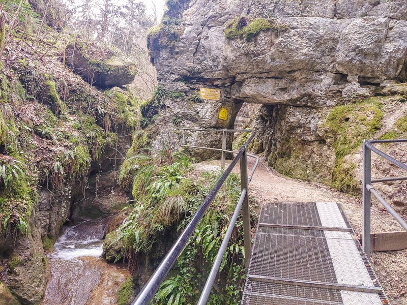
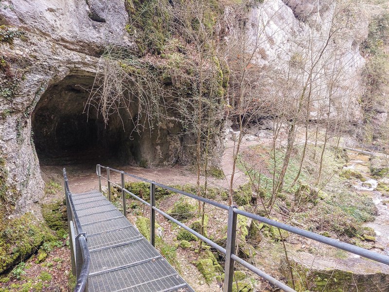
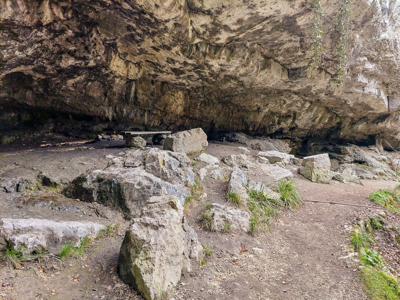
The Teufelsschlucht officially begins when you get between the rock walls. In one of the rock tunnels, there is also a box for voluntary donations (see opening photo). Along the way, you will pass steep rock walls, caves, and river waterfalls.
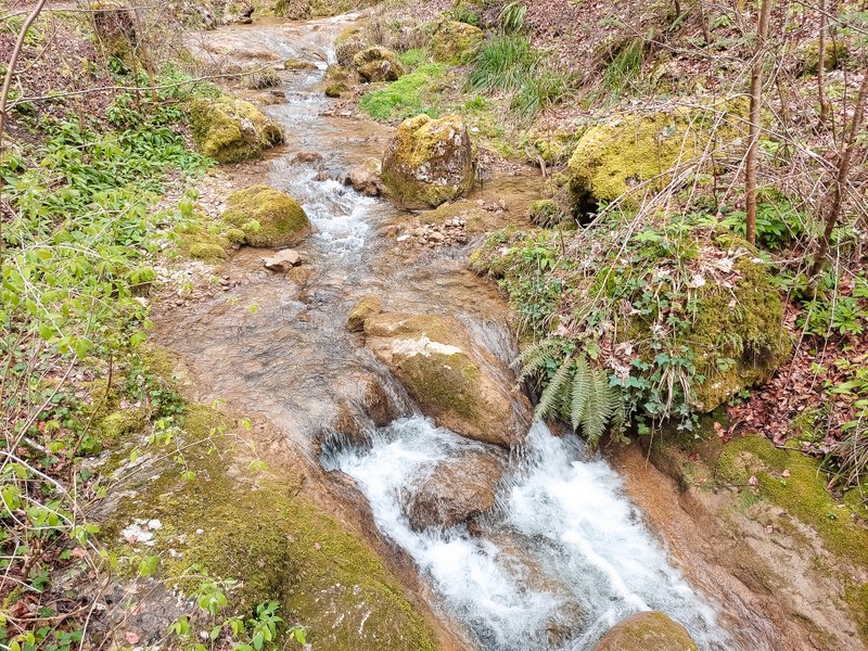
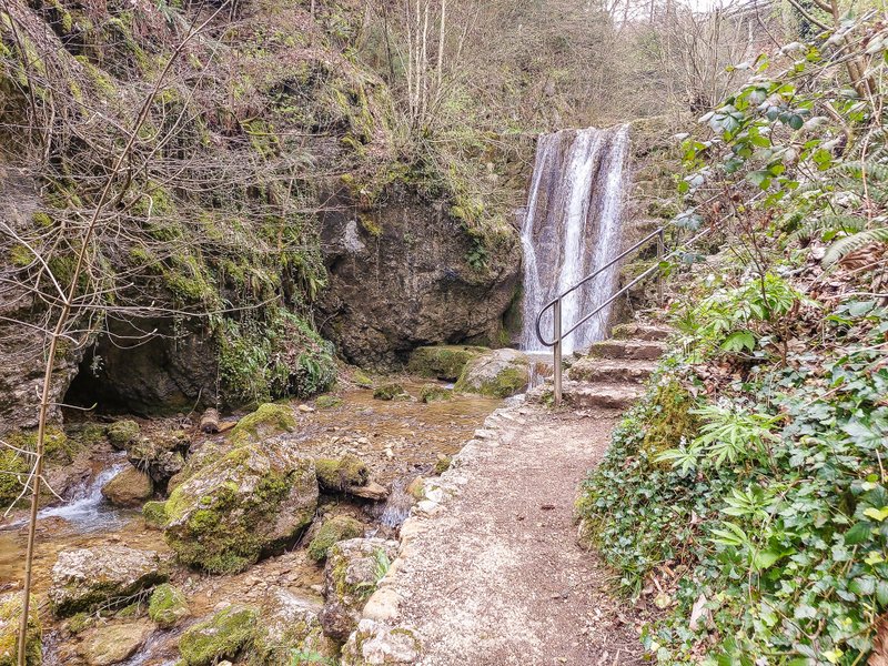
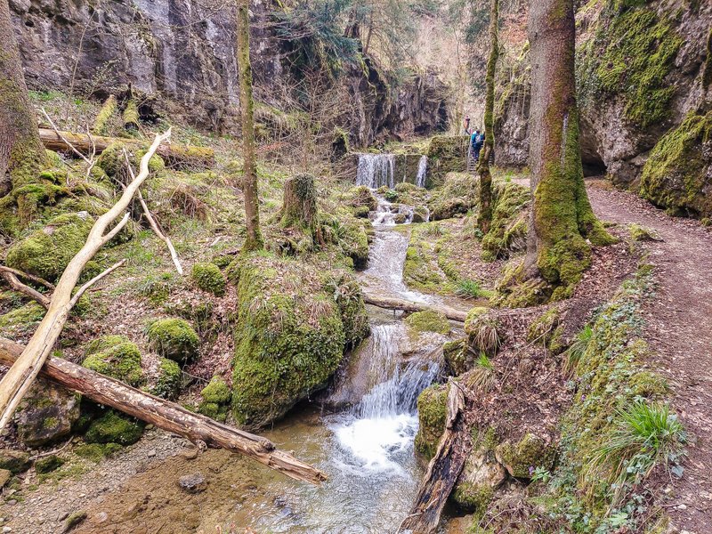
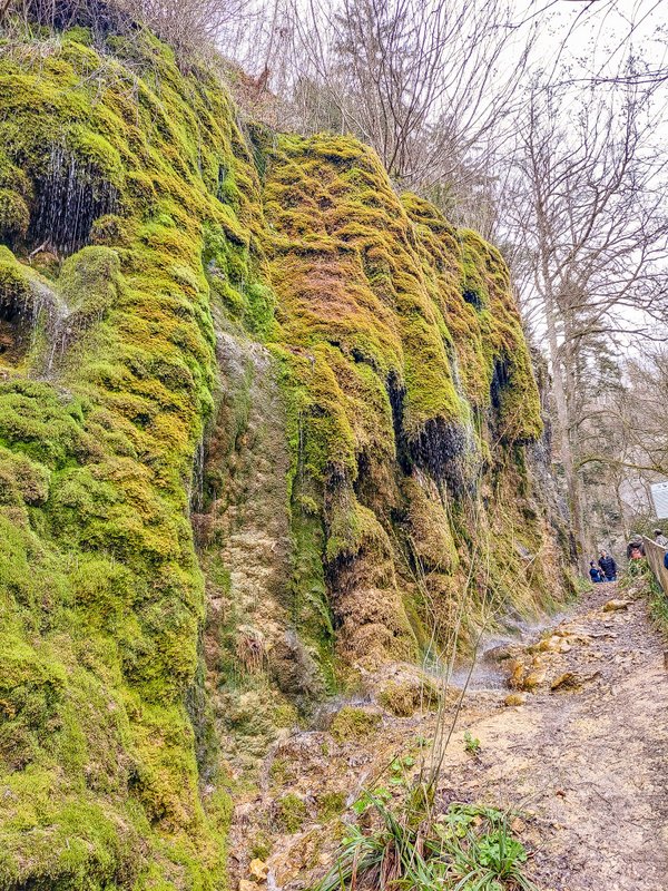
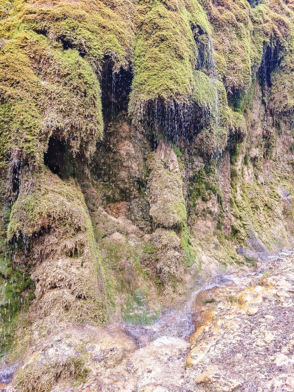
This interesting mossy wall just before the Tufftbrunnen signpost had dozens of mini waterfalls. It looked like it was raining off the wall.
Behind the Tufftbrunnen signpost, there is a large picnic area from the Schweizer Familie. A short distance beyond, you will find large, moss-covered boulders, and you just wait for them to become Trolls (yes, watching Frozen countless times has left its mark on me 🙂 ).
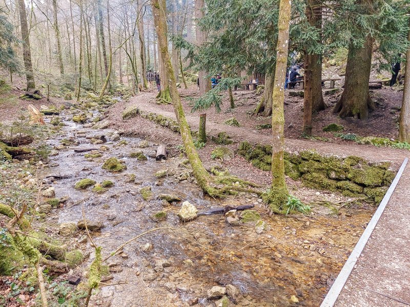
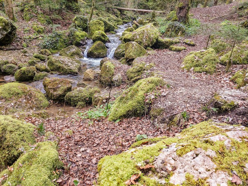
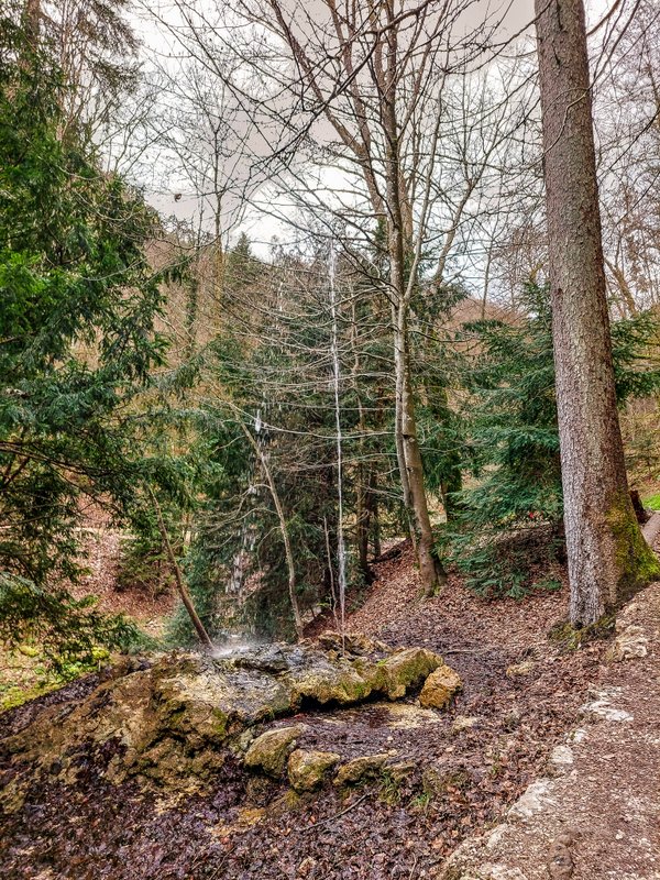
In less than ten minutes, you will reach another barbecue area. A short distance away, the Spritzbrunnen (tiny water jet) gushes out of the ground. There are also metal footbridges along the way, so it’s a good idea to keep an eye on them if you’re hiking with smaller children.
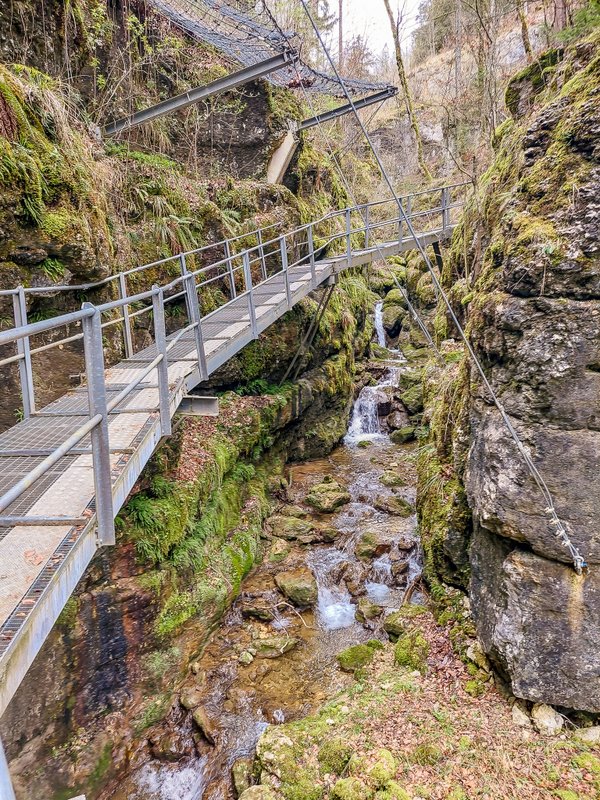
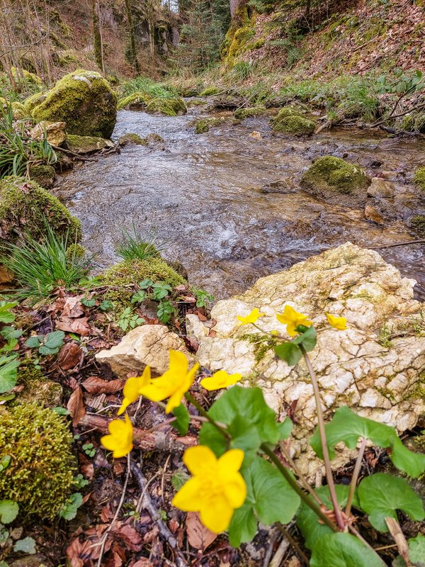
After about 2.5 kilometers from the trailhead, you will reach the main road, which you will cross to the other side. From the Allerheiligenrank signpost, head in the direction of Burgerrain/Gnöd. You first walk a few dozen meters along the road (although it is not very busy, be careful) and then turn onto a wide forest path. You walk through the forest for about 15 minutes and then the trail turns downhill to the village of Gnöd.
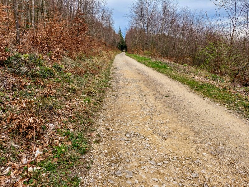
In another 15 minutes or so, you will be back in Teufelsschlucht, at the Tufftbrunnen signpost (by the moss walls). Then you have the final descent, again along the river, passing waterfalls, metal footbridges, caves, and rock formations. In about half an hour, you will be back at the car park.
Summary
- The route we walked is less than 7 kilometers long.
- Due to the number of steps and metal footbridges with “speed bumps”, the route is unsuitable for a stroller.
Don’t forget to pin this for later!
