


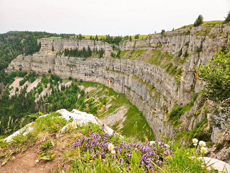
Creux du Van is a unique natural rock amphitheatre in the canton of Neuchâtel. It has a diameter of one kilometer and is the result of constant water and ice erosion. If you like places where you can feel the incredible power of nature, this is the place for you. I was happy to tick another item off my Swiss bucket list.
Arrival: Noiraigue
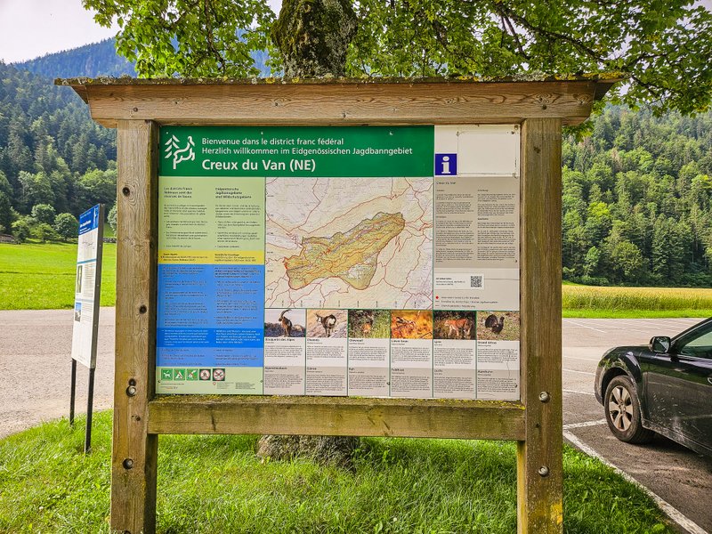
By public transport: The starting point for this circular hike is the village of Noiraigue in the Val de Travers in the canton of Neuchâtel, about an hour west of Bern. There are regular trains from Neuchâtel, and the station is the official start of the route.
By car: As the Noiraigue area is a popular trip destination (not only because of the Creux du Van but also because of the nearby Gorges de l’Areuse/Areuse Gorge), it may soon be full. In that case, don’t despair, but continue about 300m further along Rue de l’Areuse, and just before the level crossing, you will come across another car park (5 CHF/day). The car park, Parking du Devins (where I was now parked), is just across the river. Parking for 4 hours costs 5 CHF and 10 CHF for the whole day.
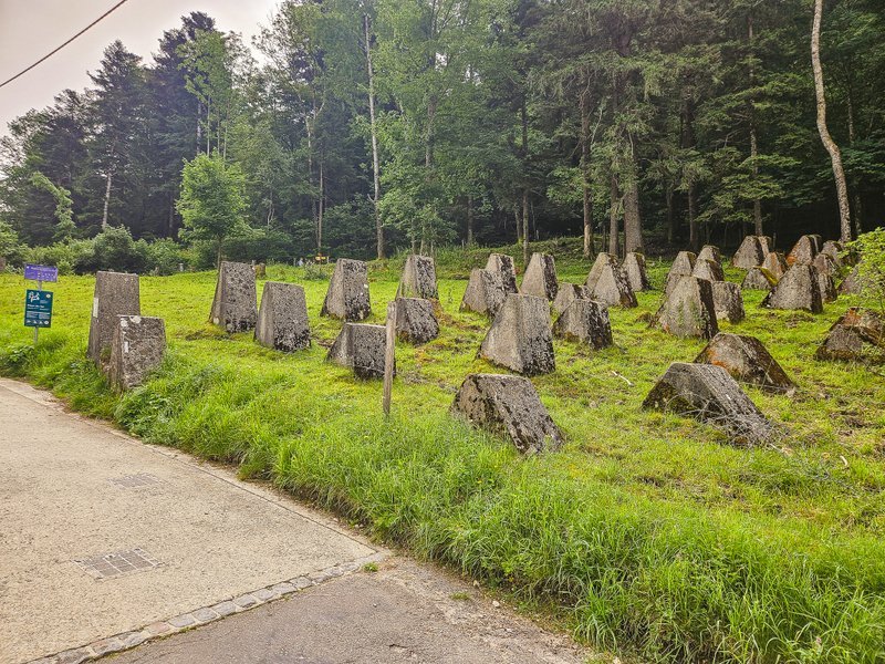
The route first runs along an asphalt road. Just before you turn into the forest, you will pass interesting concrete elements. As you will see from the sign fixed on one of them, these are remnants of the army’s activities, particularly the border troops, during the Second World War. Although Switzerland was neutral, it was ready to defend itself in case of a threat, perhaps by building these armored barriers.
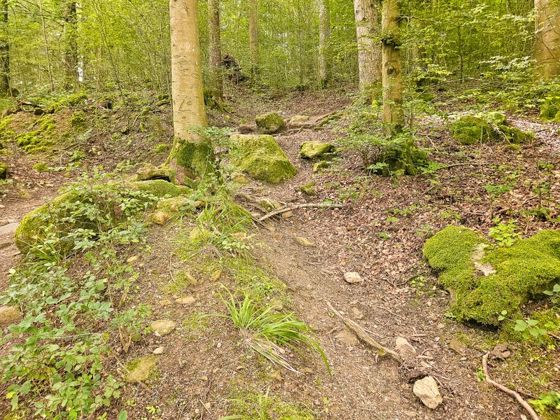
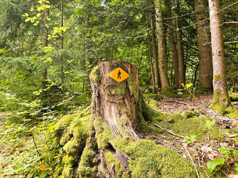
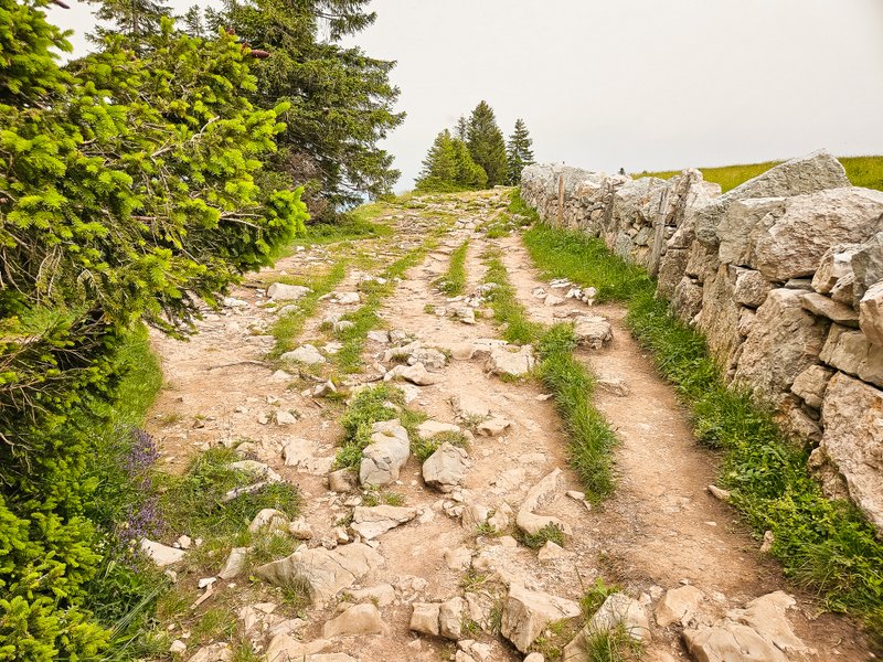
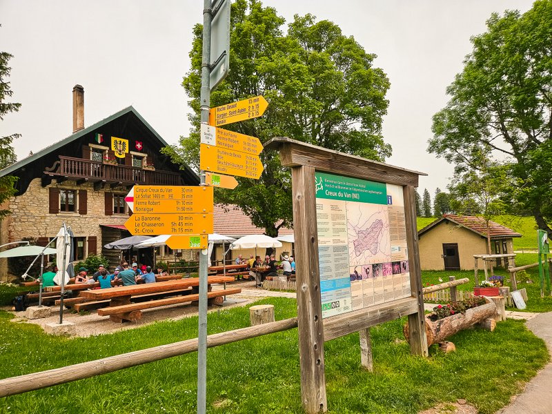
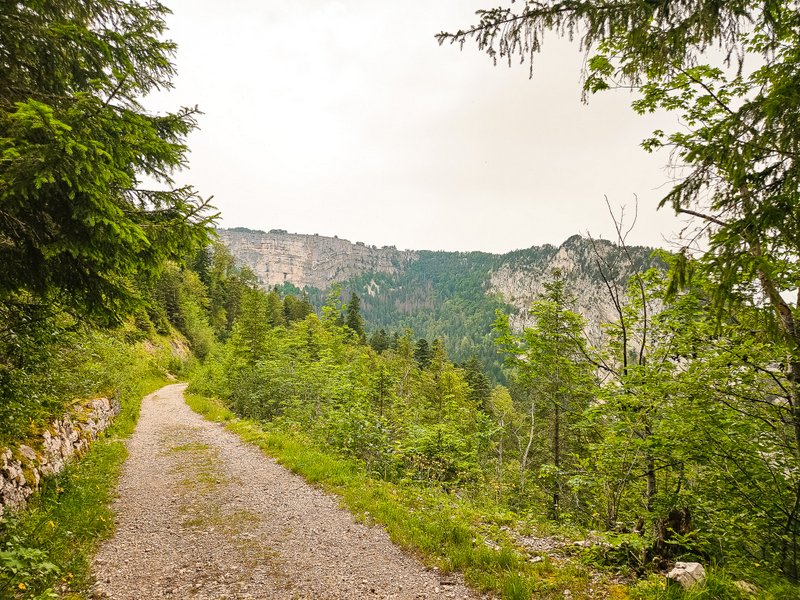
At the first signpost at the forest boundary, take a left – the route is very well signposted, and you will follow the 286 Sentier du Creux du Van sign. From Noiraigue train station, the hike to the summit takes about one and a half to two hours, and you have to climb 780 meters of elevation gain.
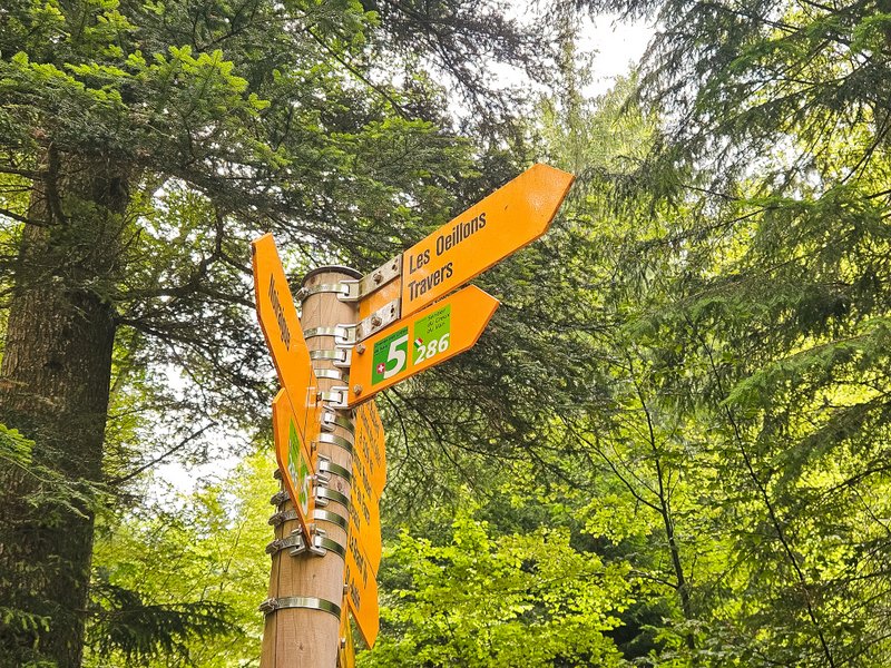
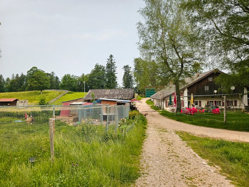
Les Oeuillons
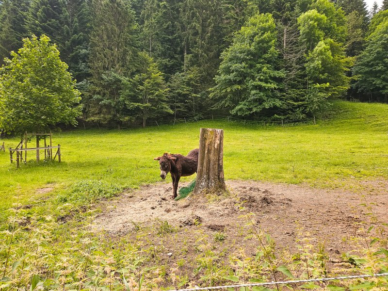
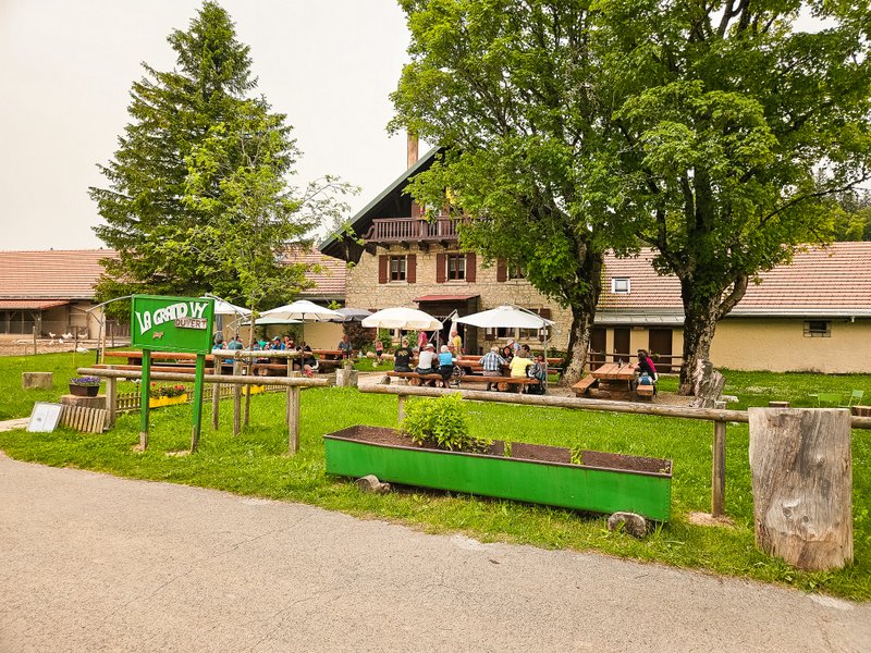
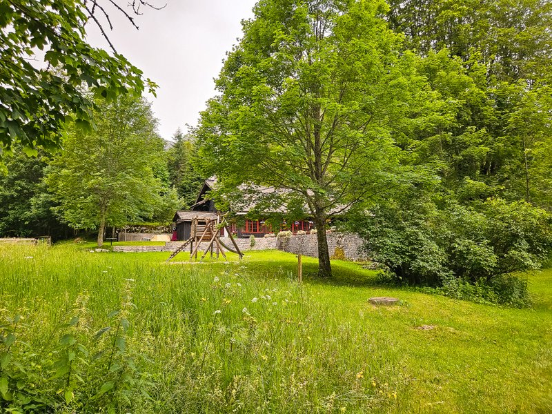
About halfway up, you will come across Les Oeuillons animal farm, where you can have a small snack in the Buvette des Oeillons before starting to climb the “Sentier des 14 Contours”, the “path with 14 turns“.
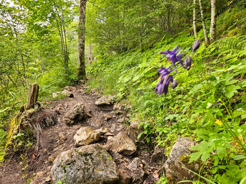
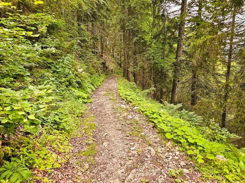
Sentier des 14 Contours
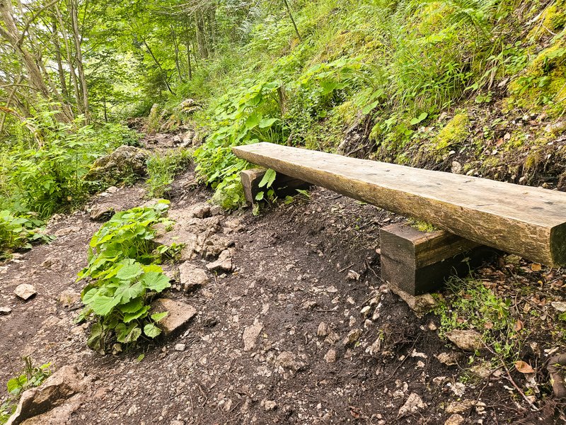
This is where the real “fun” begins. You climb up a narrow path, zig-zagging over roots and rocks. Even for me, the hike was quite strenuous in places, especially because of the high temperature that day. Fortunately, most of the trail was in the shade, but I still sweated through my shirt.
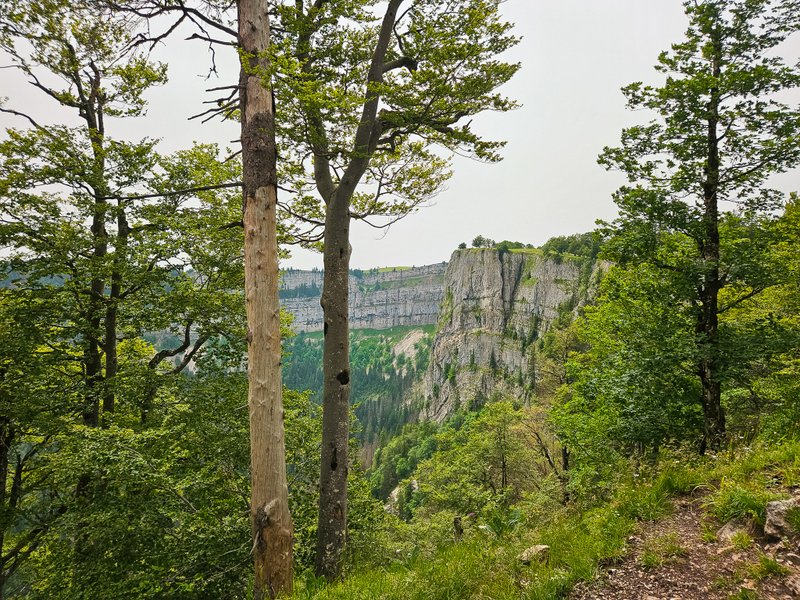
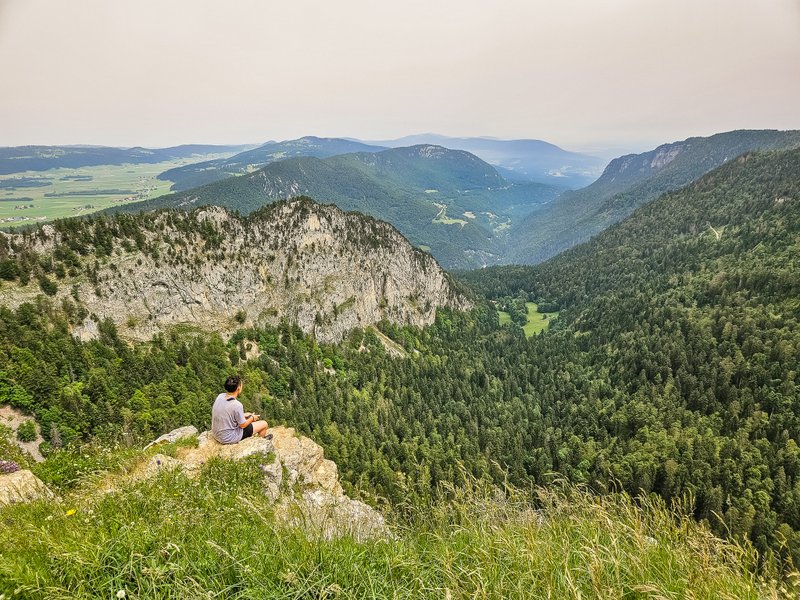
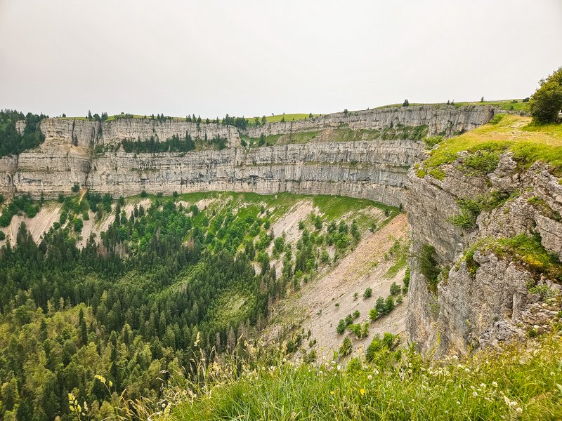
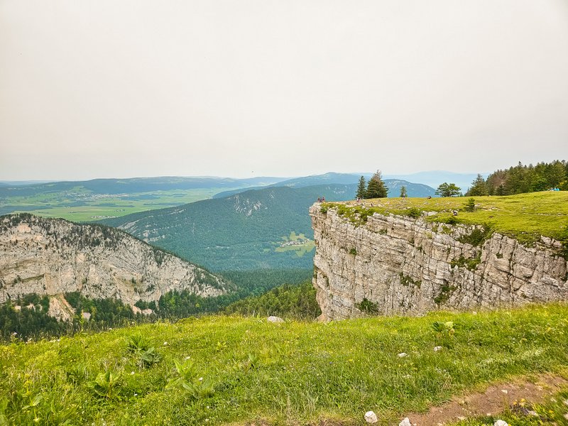
Well, at the end of the climb this view opened up in front of me:
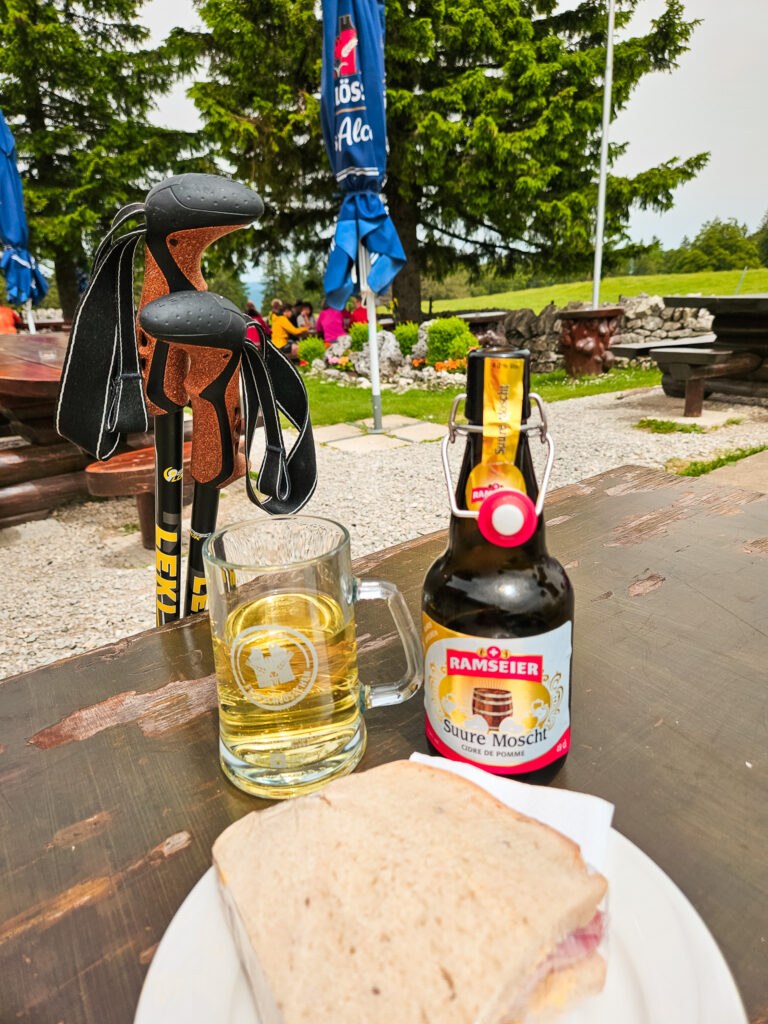
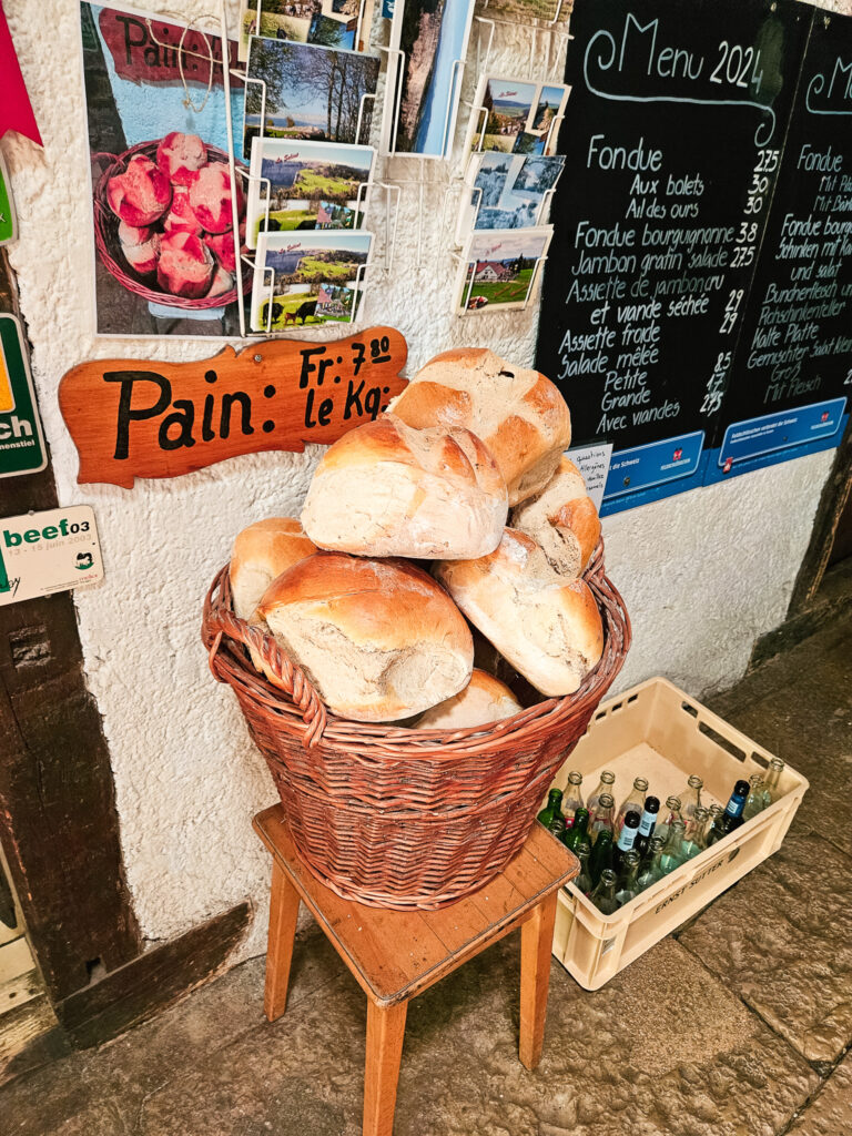
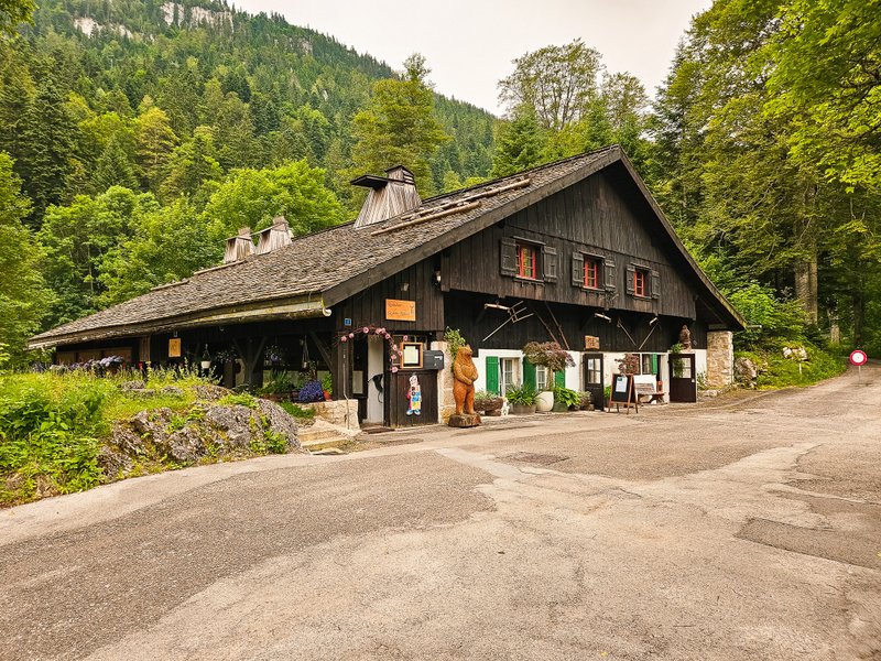
Restaurant Le Soliat
Before I went for a walk along the cliff, I headed to Le Soliat, a restaurant about a 5-minute walk away that serves hot and cold food and drinks. You can even buy fresh homemade bread here. And there is a playground next to the restaurant.
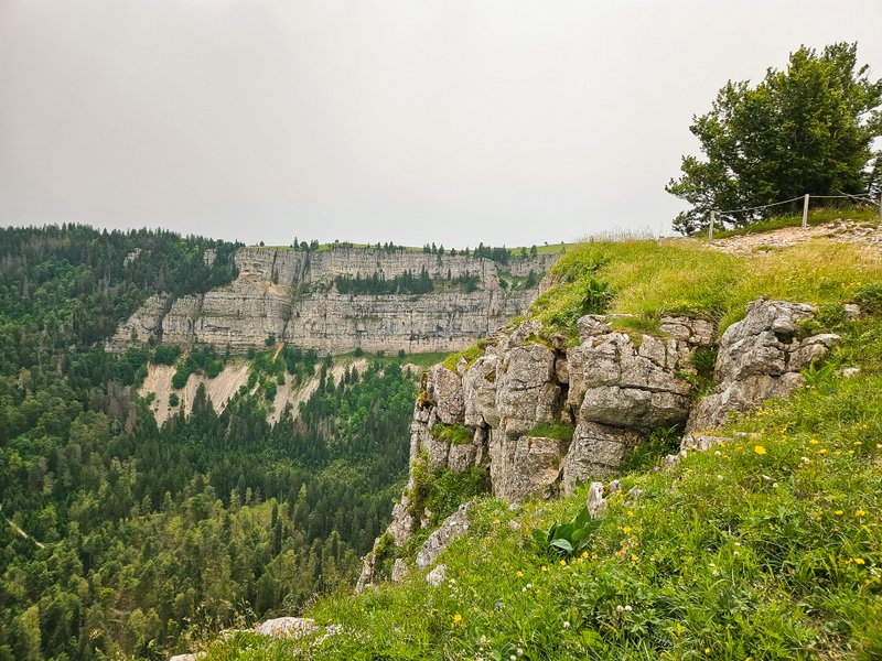
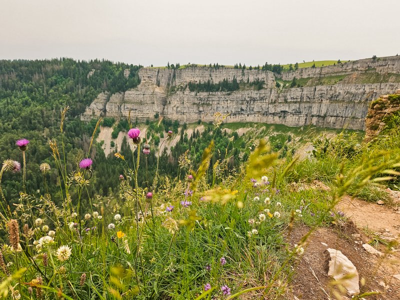
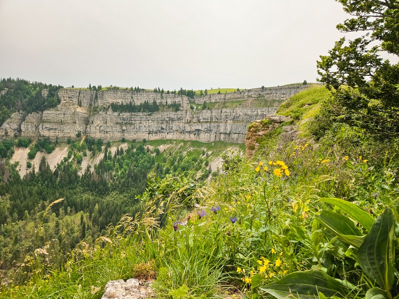
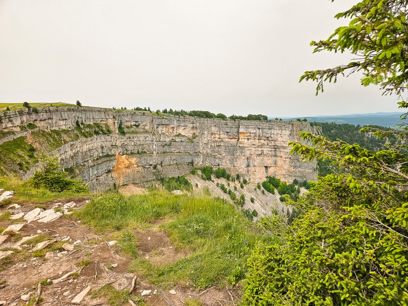
Creux du Van
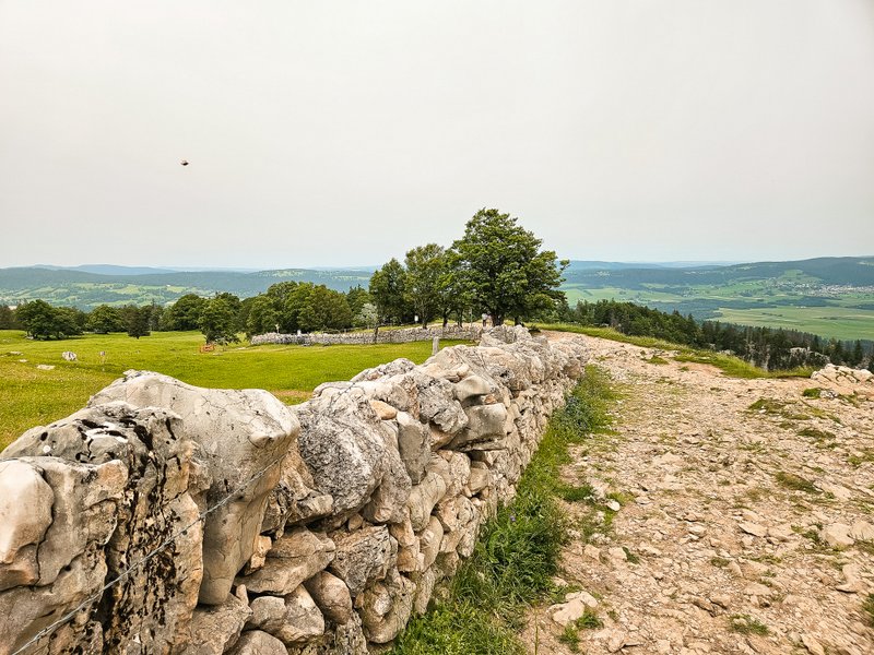
After refreshing in the restaurant, I returned to the cliff and walked around the old dry stone walls typical of Jura.
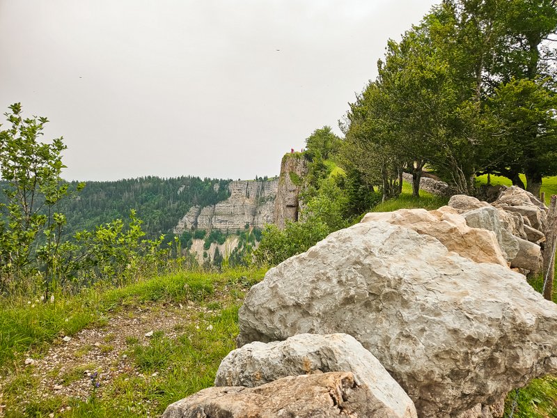
There are no barriers on the cliff’s edge, which is a bit scary and dangerous, so be careful (no, that’s not me in the photo!).
The scenery at the top is spectacular, with expansive countryside views where you’ll have plenty of photo opportunities.
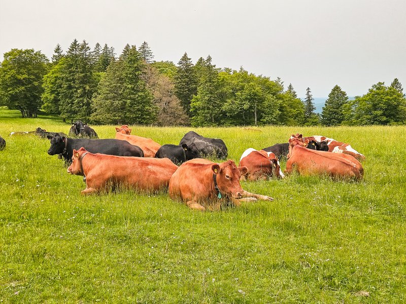
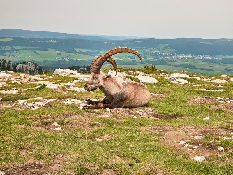
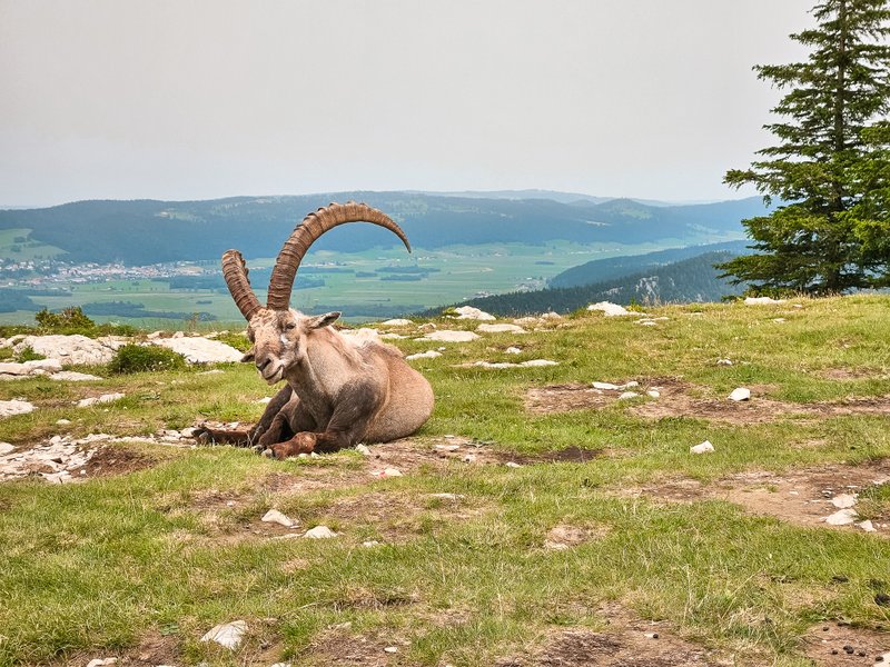
Pastures are right next to the trail, so your steps will be accompanied by the tinkling of cowbells.
It may happen that you run into an ibex. Unbelievable! I’ve never seen one this close before. What was fascinating was how the crowds of tourists didn’t faze him at all, and he let people who were taking pictures and videos of him get within a few feet of him.
Descending
At the next signpost, you can return to Noiraigue via Ferme Robert or towards La Grand Vy. According to the reviews I’ve read, the first route is very steep and if you like your knees, you’ll continue on the official route.
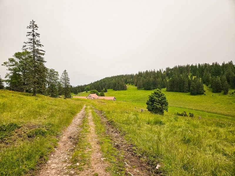
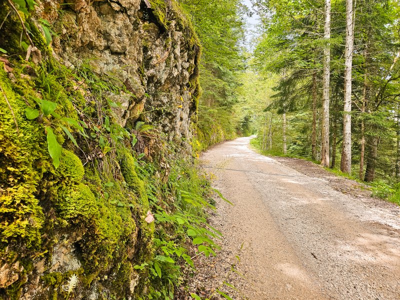
The descent is gentle, first on an asphalt road and then on a wide forest path. After a while, the view of the Creux du Van opens up in front of you.
Don’t worry, you won’t miss a visit to Ferme Robert, where you can also have a snack.
Summary
- The official length of the route, which you can find here, is 14 kilometers. But if you make a detour to the restaurant, it’s about a kilometer more.
- If you’re interested in a less demanding route, you can drive to the car park and restaurant La Ferme de Soliat, from where it’s just a short walk to the edge of the cliff. But even here, you can do an easier 4km loop. You can find it on the Swiss Family Fun blog.
- Even in summer, it can be very windy here, so I recommend that you dress appropriately. I also recommend a spare T-shirt because if you’re sweating when the cold mountain wind blows, you’re asking for a cold.
- The climb is very steep and rocky. I definitely don’t recommend doing the trail if it has rained recently, as it can be slippery.
- Don’t forget sturdy footwear and also hiking poles.


