


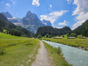
It was that time again when we went to Leysin to entrust our offspring to the care of the hockey coaches for a few days at the preparatory camp. And on that occasion we wanted to do some nice hiking in this beautiful area of the Vaudois Alps. This time, we decided to take route number 10, called “Entre les 3 tours”, i.e., between the three peaks. These are the Tour d’Aï, the Tour de Mayen, and the Tour de Famelon. The hike is just under eight kilometers long, and about halfway up, it surprised us with its tricky part. What was it? Read on!
How to get to Leysin
By car: from Bern, take the A12 motorway toward Lausanne. At exit 14-La Veyre, follow signs E27/E62/A9 in the left lane to Simplon/Gd-St-Bernard/Martigny/Montreux. Then take exit 17 towards Aigle/Ollon/Les Mosses and follow the signs for Aigle. From here, you will climb 15 km to Leysin. You can park in the paid parking area near the cable car station (intersection of Rte de Crettaz and Les Esserts).
By public transport: Trains from Montreux run almost every quarter of an hour. The train ride to Aigle takes 9 minutes. Here, you can take the R25 train, which will take you to Leysin-Feydey in 27 minutes. This train runs once an hour, always at .56. It is about 900 meters on foot from Leysin-Feydey to the station of the Télécabines la Berneuse cable car.
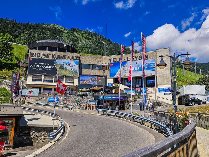
La Berneuse Cable Car
The cable car operates from 18 May to 20 May and from 15 June to 3 November 2024, from 9.00 am to 4.45 pm.
A one-way ticket costs CHF 23 for an adult (16-77 years old) and CHF 15 for a child (CHF 13 if in a family). GA Abo, Swiss-Pass, Halbtax, or Junior cards are not accepted here.
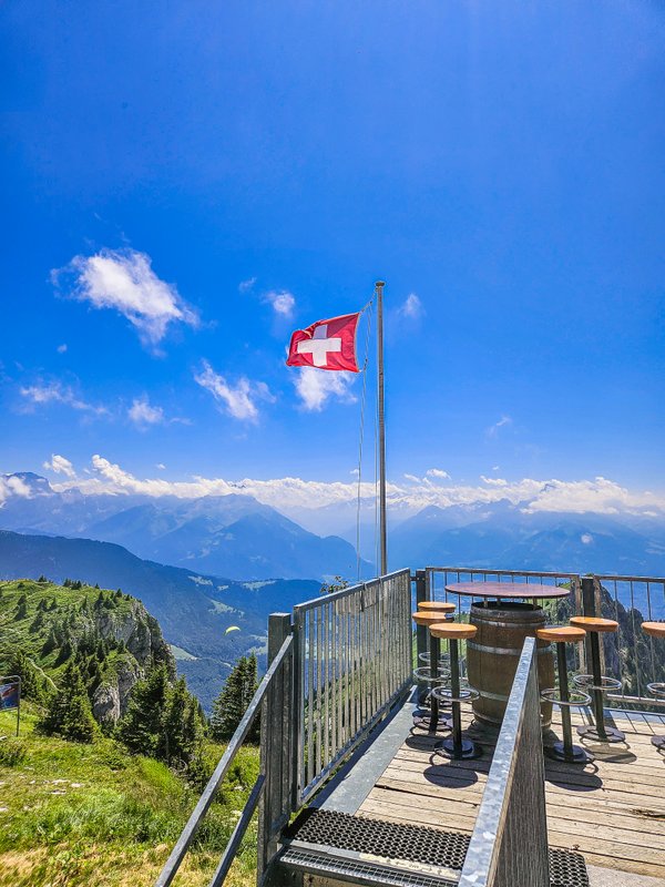
The cable car runs continuously, and you can enjoy incredible views on the way to the top.
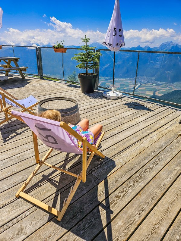
Restaurant Kuklos & Bar 2048
I wrote about our visit to this restaurant last time when we did the Randonnée Gourmande route here. So I’ll just briefly remind you that this restaurant is the only revolving restaurant in Western Switzerland (I’m sure you know the revolving restaurants from the peaks of Stanserhorn or Schilthorn). It turns around in an hour and a half during its axis. This time, we had ice cream on the terrace of Bar 2048 (its name refers to the altitude at which it is located).
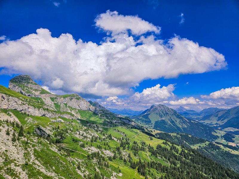
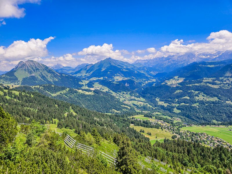
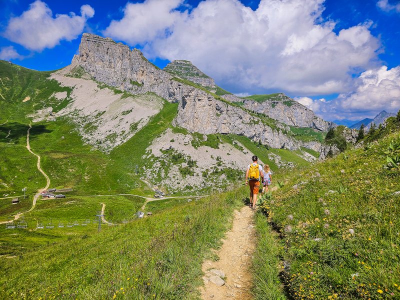
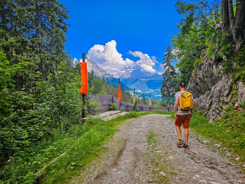
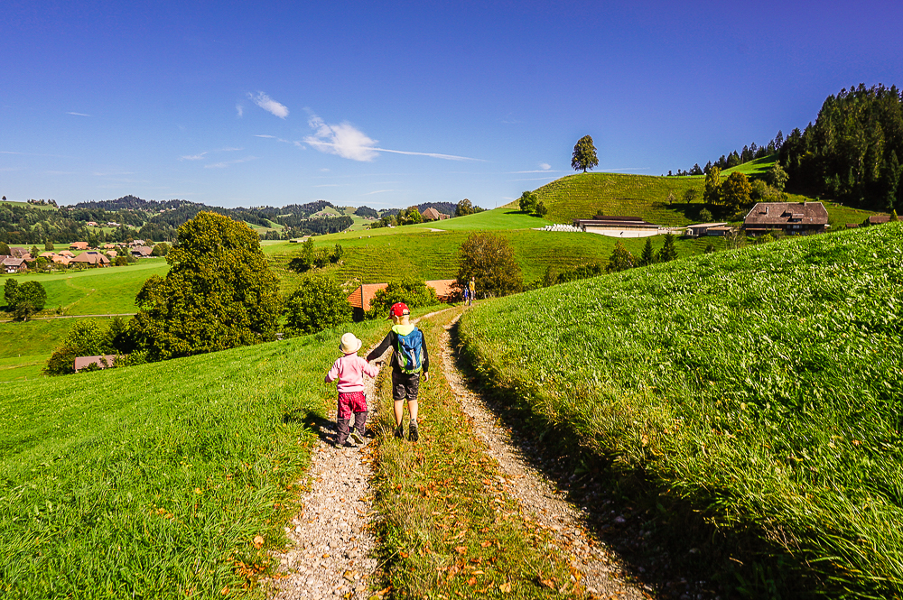
“Entre les 3 tours” Trail
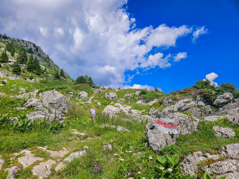
We started our hike with a slightly steep descent to Lac d’Aï, which offered an impressive view of the Tour d’Aï.
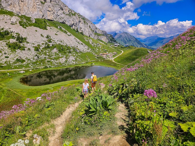
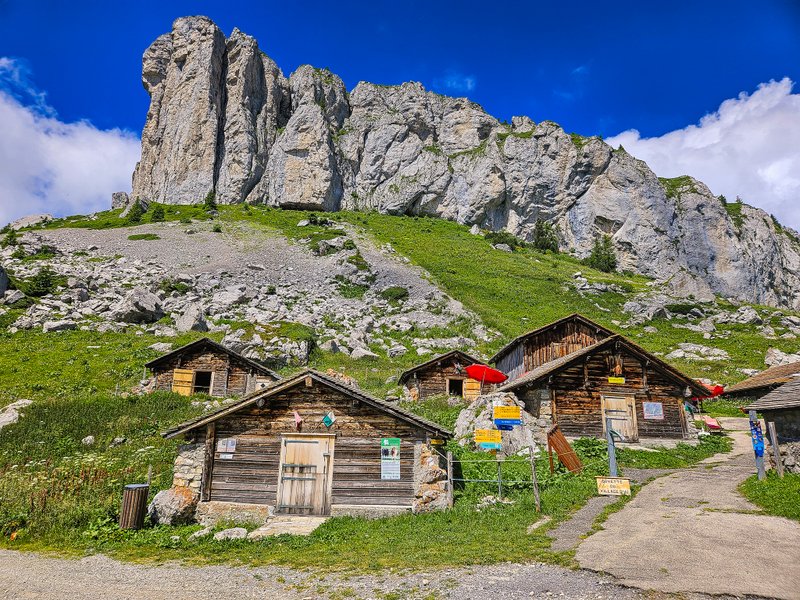
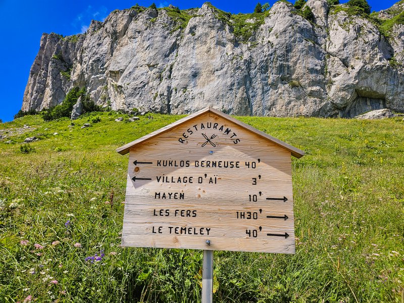
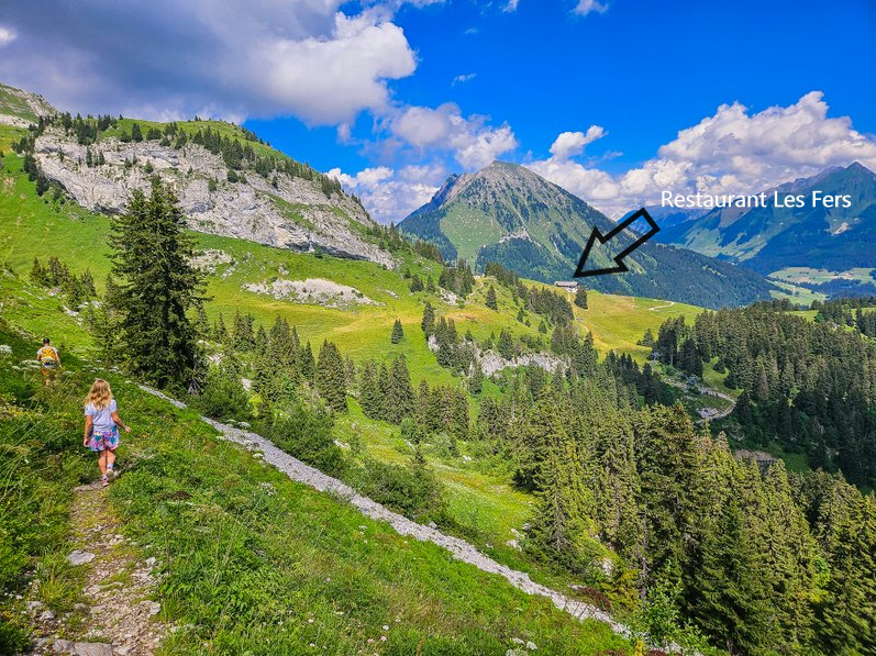
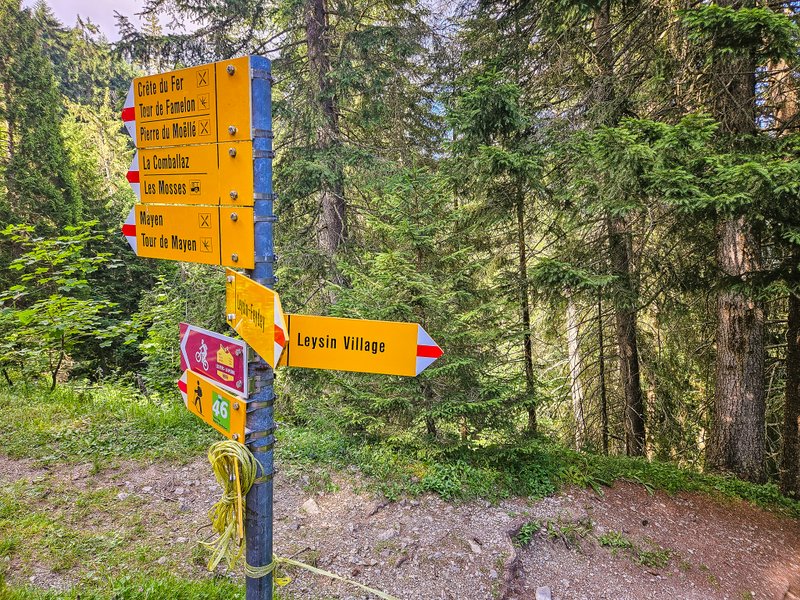
We soon reached Buvette d’Aï in the charming hamlet of Aï with its cute little original houses made of stone and wood – the so-called mazots. From Buvette d’Aï, it’s less than 10 minutes along a wide road to the next gourmet stop, Refuge de Mayen. Incidentally, you can see the distance to the restaurants on the route on a new wooden sign. I would add that it was not one and a half hours to the Les Fers restaurant, but about 45 minutes – precisely as the tourist sign beside it said.
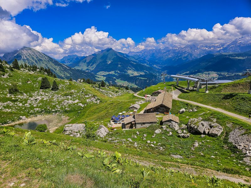
Lac a Refuge de Mayen
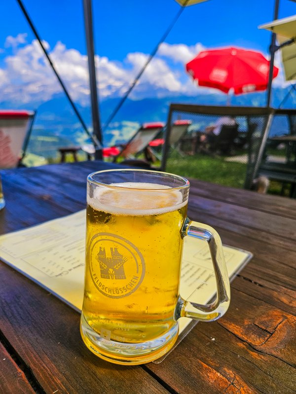
Since we had already stopped at this restaurant, which serves a wide range of Belgian beers in addition to Swiss specialties, we continued along the route in the direction of Les Fers last time.
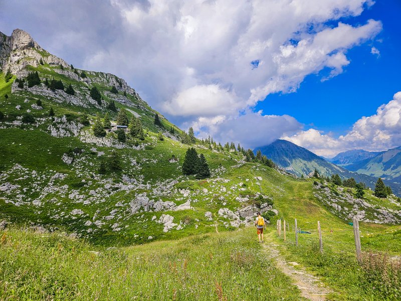
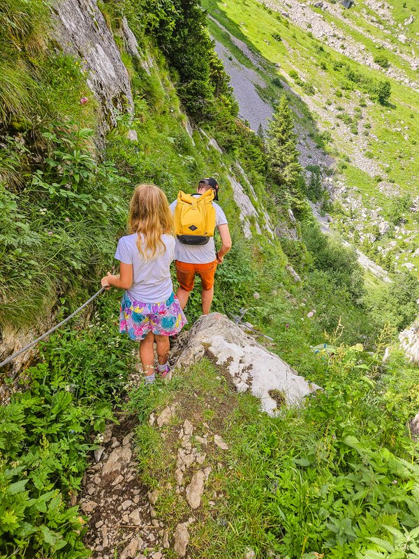
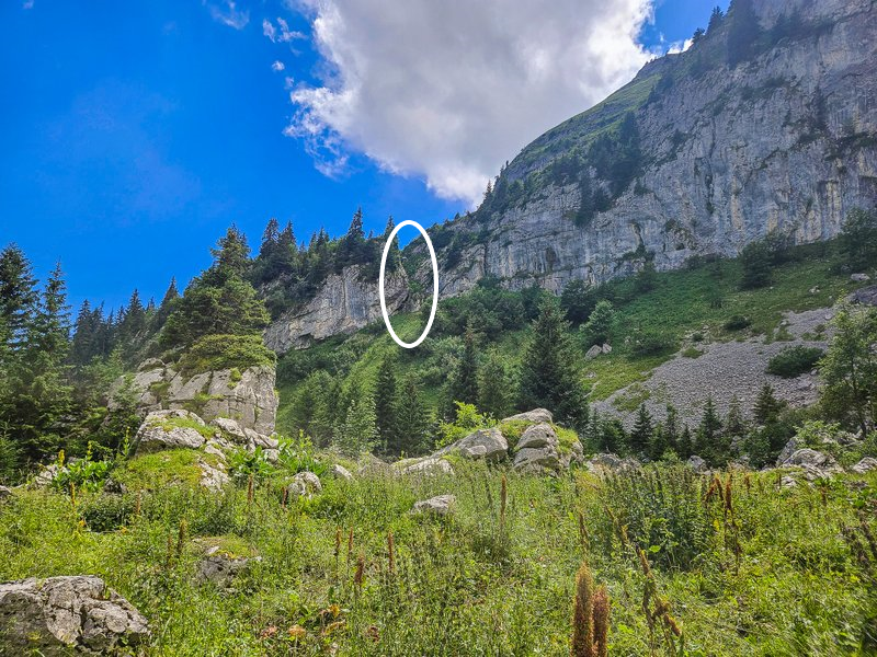
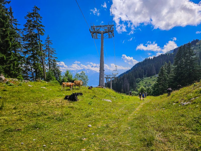
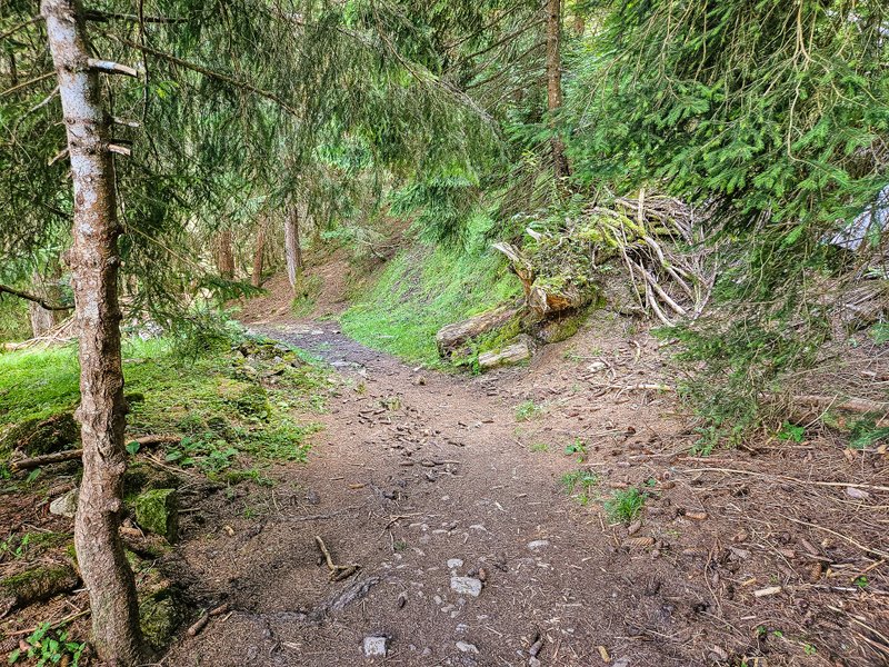
The trail splits at one point (you can tell by the big red arrows on the stone). To the left it would lead through Truex, we continue as if straight towards Les Fers. This part of the route is quite adventurous. Not only does it mostly go over rocks, but at one point, you come across a difficult section through a narrow rock gorge.
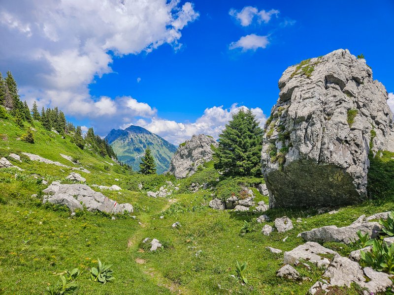
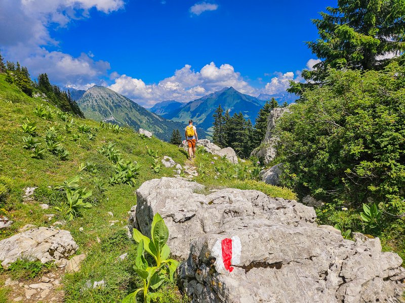
There is a steel rope “railing” for your safety, but in any case, be very careful.
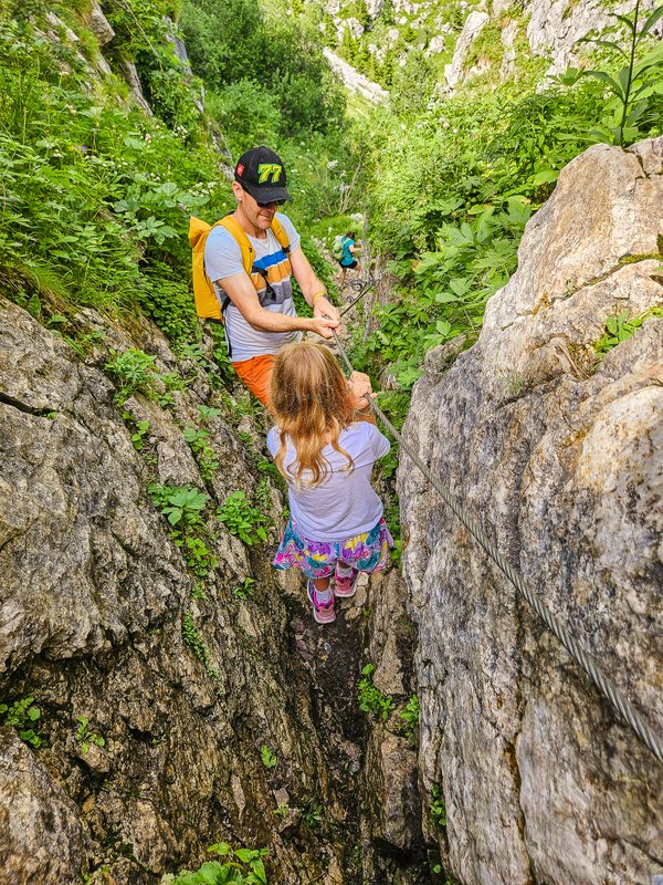
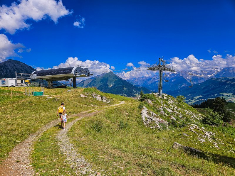
Once we crossed this section (see photo below), we crossed the pasture to the ski lift station, and from there, it was a short walk to the restaurant.
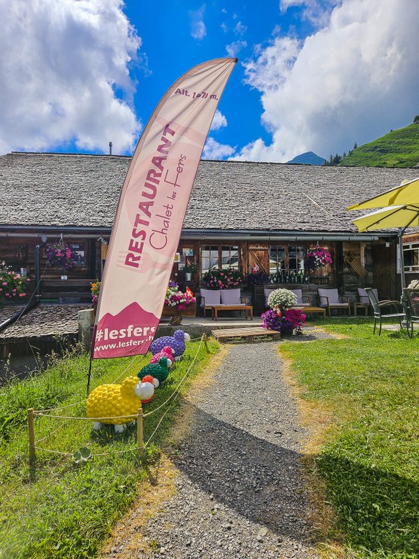
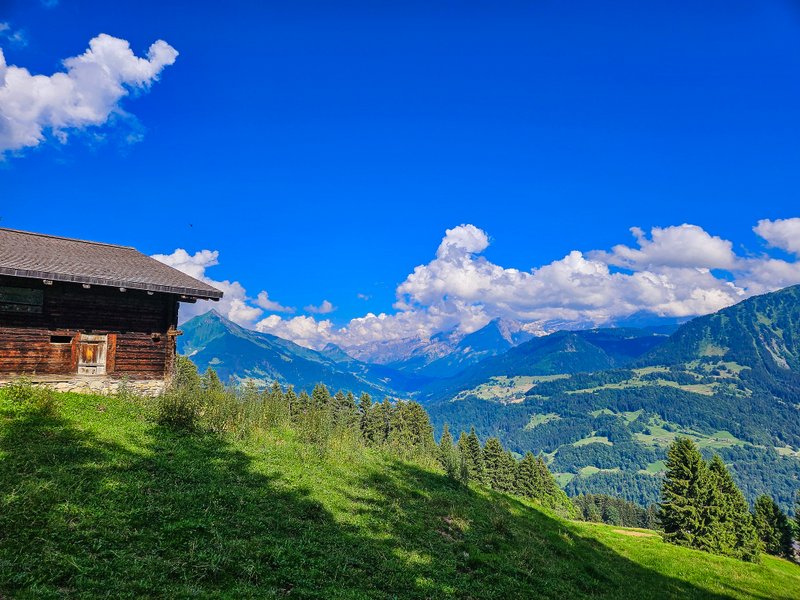
Restaurant Chalet Les Fers
Whether you enjoy refreshing drinks or a delicious home-cooked meal at the table or in the armchairs, you will enjoy the spectacular views.
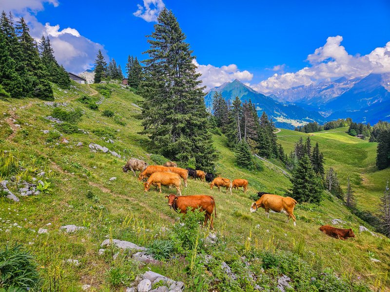
From the restaurant, the trail continues along a path that is usually a downhill skiing slope in winter.
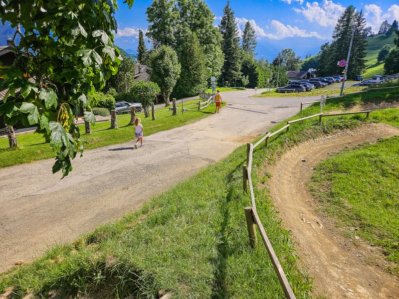
Shortly after Les Plans, the route turns left (following the signpost for Leysin Village). After a short stretch through the forest, you will join Av. de la Reine Fabiola and comfortably follow the asphalt road to the parking lot at the bottom of the cable car station.
Summary
- The trail is 7.8 km long and not suitable for a stroller
- I recommend sturdy shoes; the rocks can be slippery.


