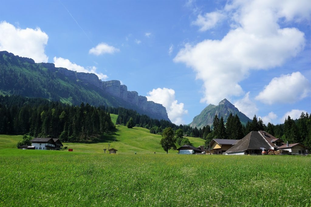
During our weekend in the popular spa town of Leukerbad, we planned to go hiking. Since the omnipresent element in Leukerbad is water, it seemed pretty logical that we set out on a trail along the thermal springs. Namely, through the Dala River Gorge, at the end of which an impressive waterfall awaits you. Since crossing this section only takes about thirty minutes, we decided to extend our route to the mountain lake Majingsee. And we didn’t make a mistake. Don’t you believe me? Then read on!
Leukerbad
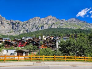
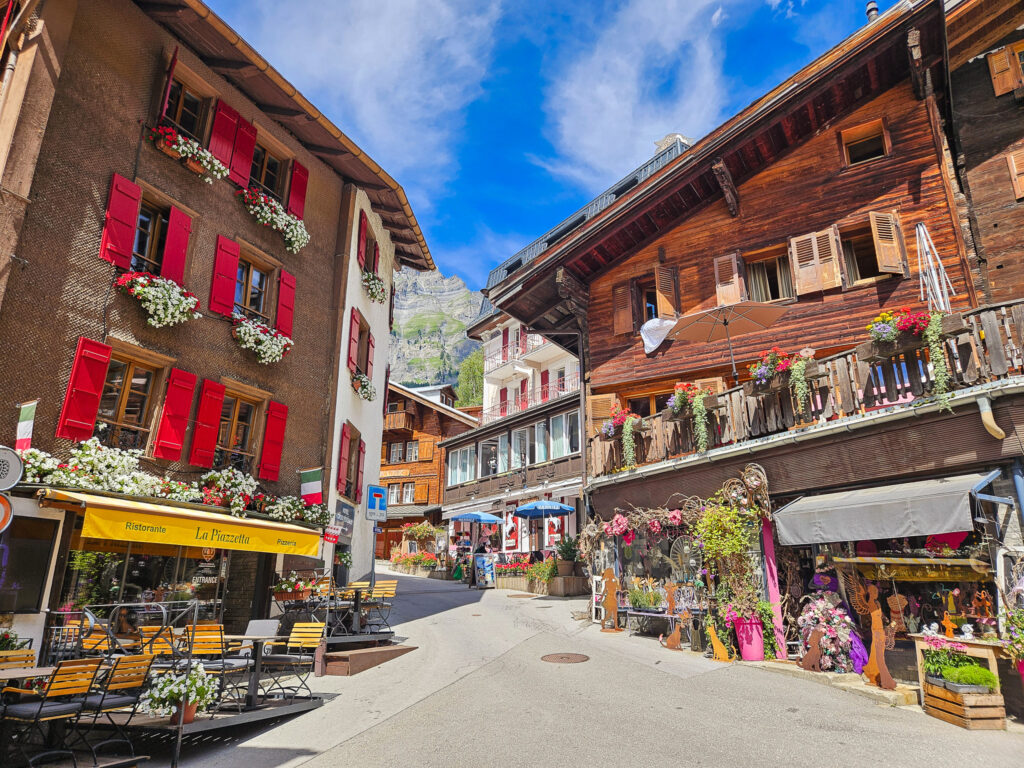
In my last article, I described the highest alpine spa in Switzerland, Leukerbad, which has had a great reputation for centuries. However, I would like to repeat that it is located in the canton of Wallis in the southwestern part of Switzerland at an altitude of 1 402 m above sea level.
The thermal springs in Leukerbad have been known since Roman times. Every day, 3.9 million liters of hot water gush out of some 65 thermal springs (at a temperature of 51 °C). These thermal springs have led to tourism development in Leukerbad, making it one of Switzerland’s largest spa and wellness resorts.
How to get to Leukerbad
Leukerbad is located in the canton of Wallis in the southwestern part of Switzerland.
By public transport: The nearest train station is in Leuk. Trains arrive several times an hour from both Sierre’s direction and Visp’s opposite direction. In Leuk, change to the 471 bus, which runs every half hour and takes you to Leukerbad.
By car: in the direction from Bern/Berner Oberland, you can use the Lötschberg Autoverlad transfer (car transport service) or detour the A9 motorway. From Leuk, you’ll have an adventurous climb full of serpentines up to Leukerbad.
On foot: The adventurous can hike into Leukerbad over the Gemmi Pass from Kandersteg, which connects Wallis with the Berner Oberland. This stunning high alpine trail dates back thousands of years and offers spectacular views of the surrounding mountains.
Beginning of the route – Dorfplatz
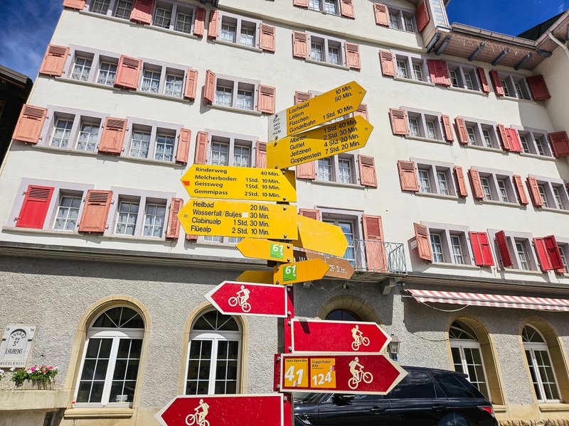
The village square is the crossroads and starting point for most routes to the surrounding area. You head in the direction of Heilbad/Wasserfall. After that, you’ll see signs directly indicating Dalaschlucht/Thermalquellen-Steg with a mermaid icon.
Fussbadquelle
After about half a kilometer, you will come to a signpost leading to Fussbadquelle, one of the local springs. I won’t lie to you – this approximately 200-metre-long detour is not worth it. The entrance to this interesting “building” was locked, so we couldn’t indulge in a foot bath in this ancient spring.

Heilbad
As we continued, we noticed another spring coming out of the mound of rubble. Judging by the red-rust trail it leaves behind as it flows into the Dala River, it’s obviously rich in iron.

Thermalquellen-Steg
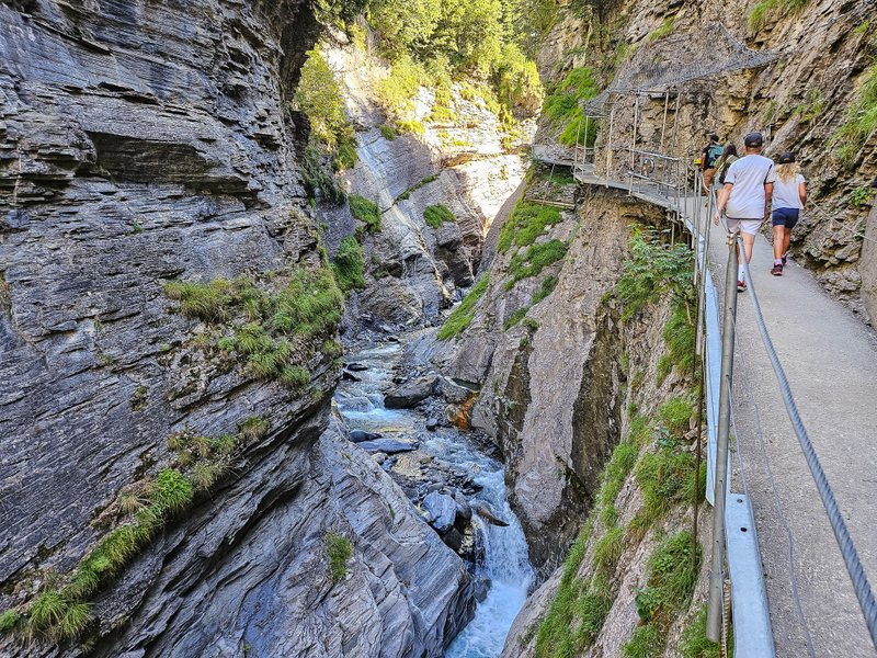
Soon, you will come to the beginning of the metal footbridge. About 600 meters long, the imposing steel structure runs suspended over the riverbed. The metal structure is safe, and the route is short, so you don’t have to worry about going here even with the smallest hikers. About halfway along the route, a small casserole is attached to the rope, and you can use a pulley to scoop water from the river into it and see how warm the water is.
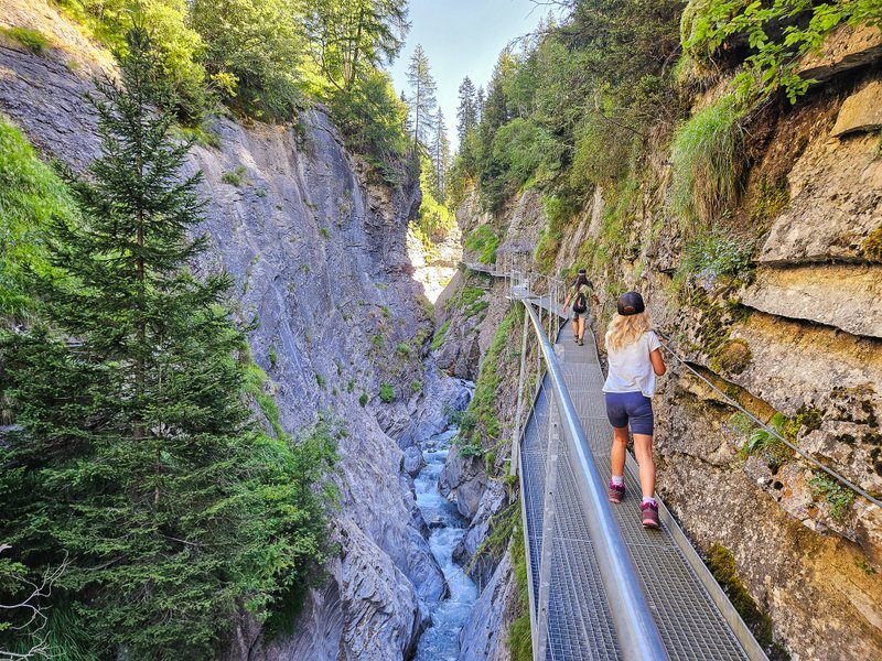
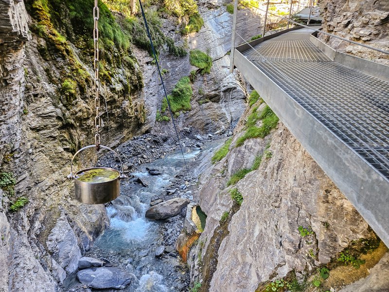
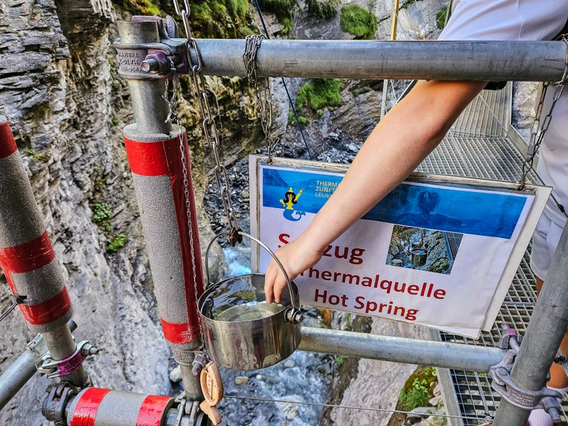
In less than 30 minutes, an impressive waterfall awaits you at the end of the gorge, where you will climb up the stairs with a 45-degree slope from the bottom to the top.
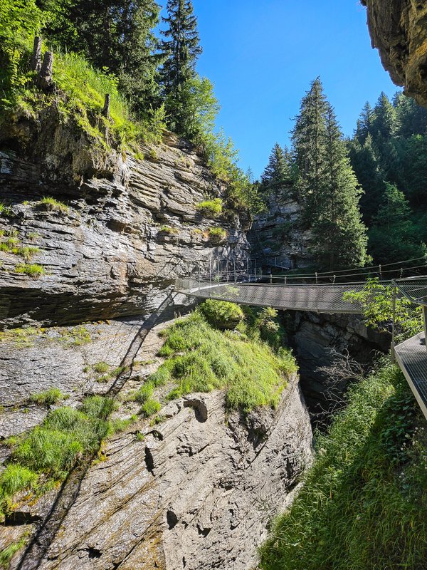
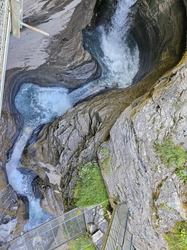
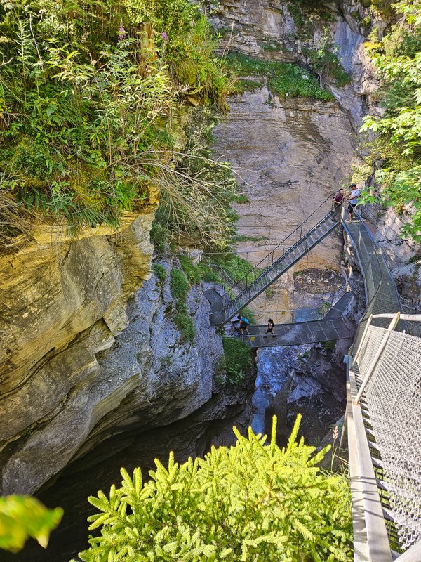
At this point, you can either return to Leukerbad (it’s best to take it via the famous Buljes restaurant) or continue to Lake Majingsee.
To the Lake Majingsee
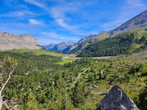
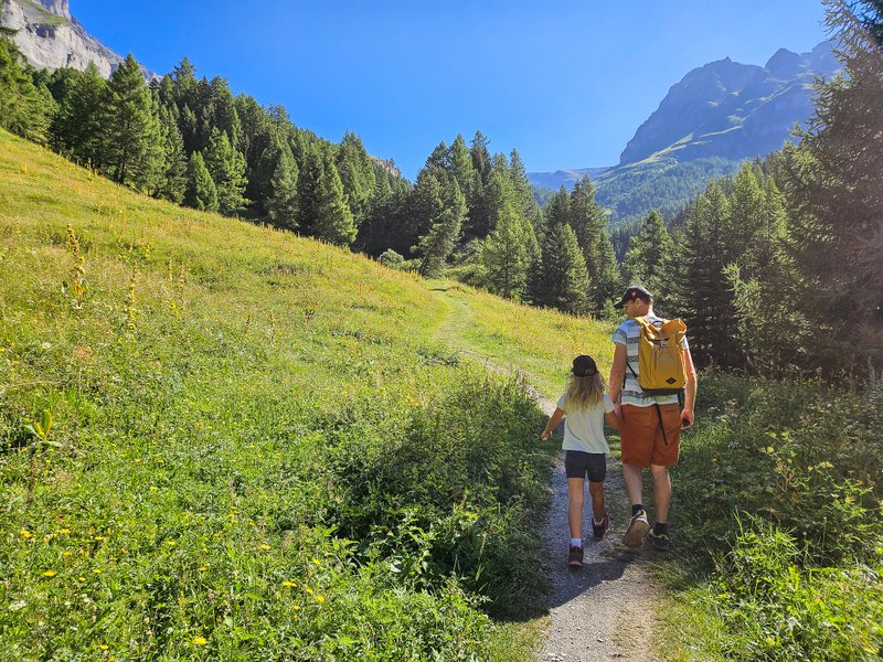
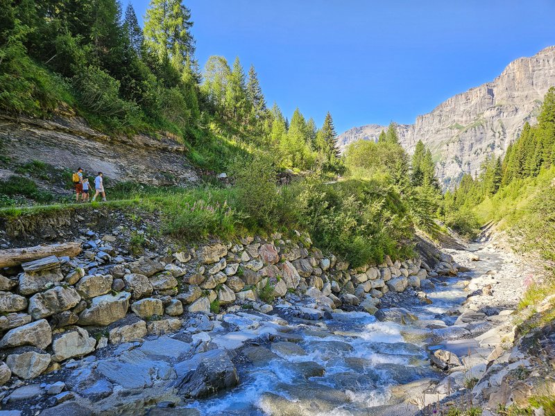
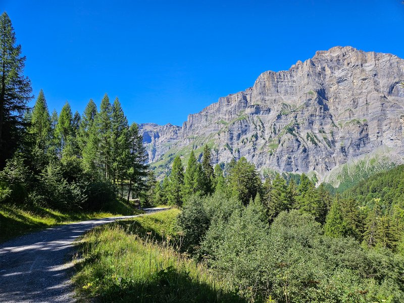
The route to the lake is not difficult. It first climbs gently up a narrow forest path (watch out for roots!) and then turns into a pleasant wide path.


Majingsee Lake
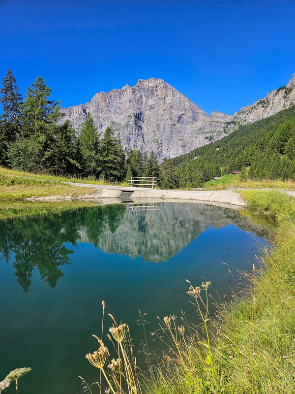
Lake Majingsee lies at an altitude of 1,663 m above sea level between the Gemmi and Torrent massifs below the Majingalp. At the lake, you will find a fireplace and tables with benches for your picnic. To quench your thirst, there is also a spring.
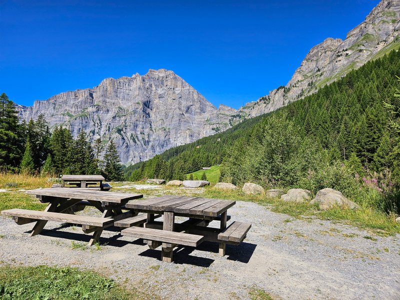
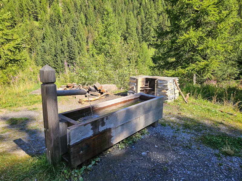
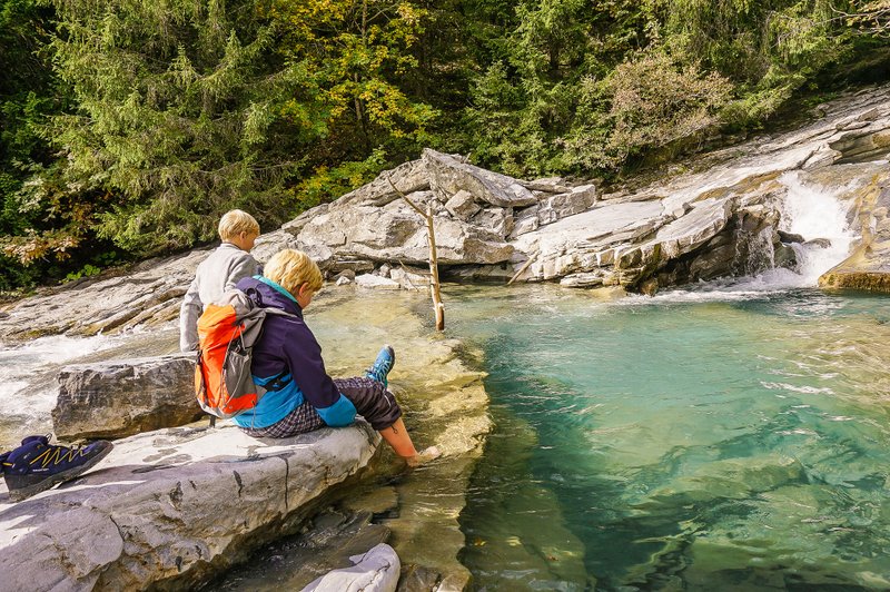
If you head to the lake in the summer when the weather is nice, bring your swimsuit. The water is cold, but it is also wonderfully refreshing.
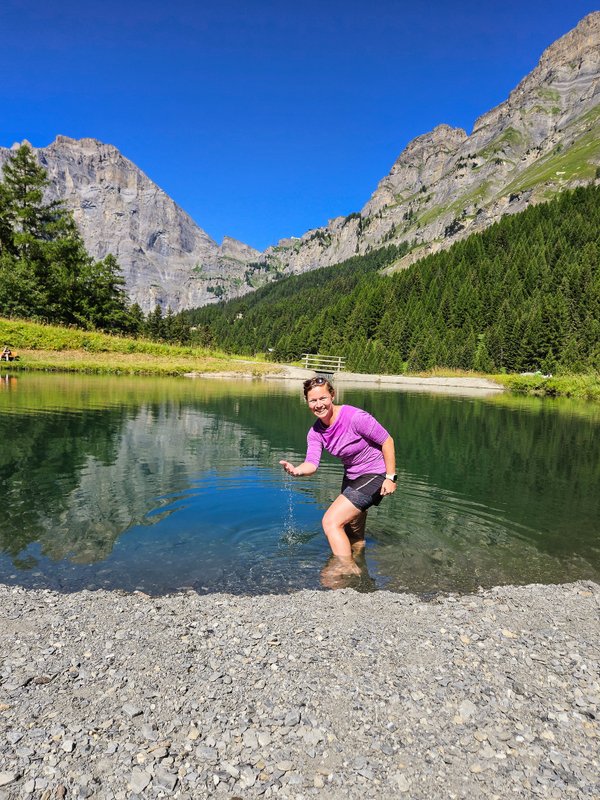

Return journey
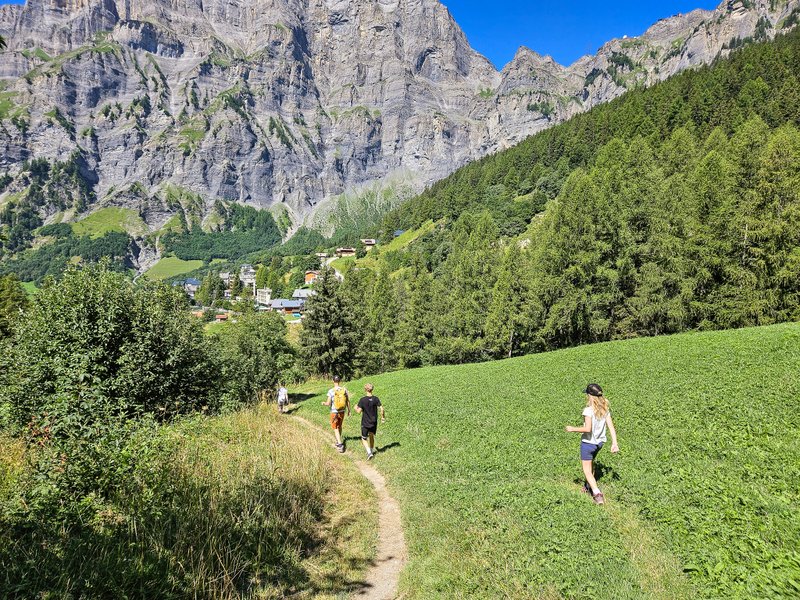
Now, it’s just a pleasant descent to Leukerbad, mainly in the pleasant shade of the forest.
Summary
- The route is 5.5 kilometers long and is not suitable for a stroller.
- Don’t forget your picnic gear and, in summer, your swimming gear.


