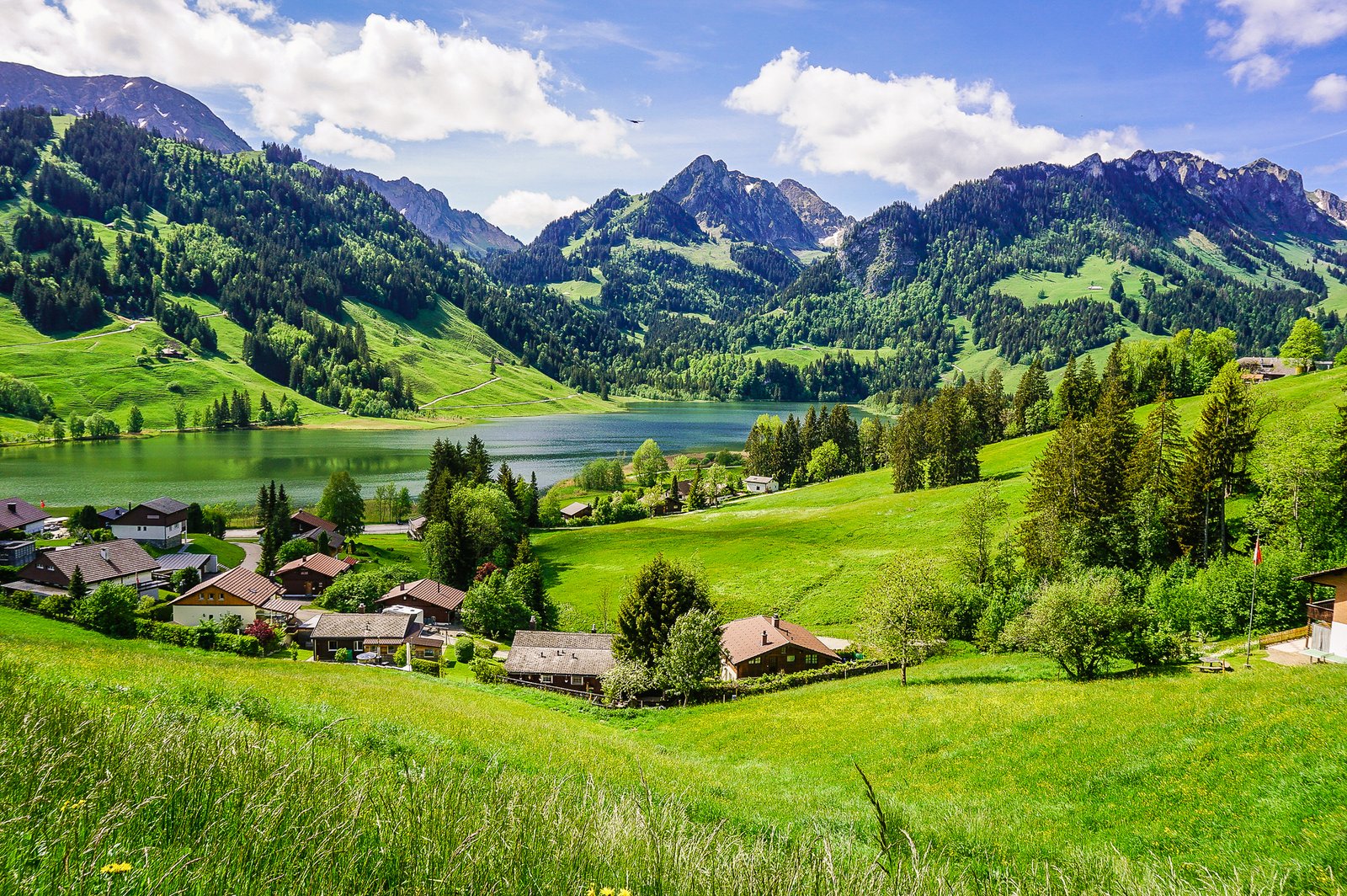
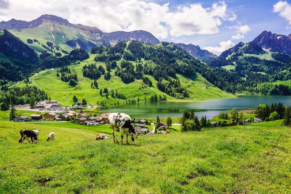
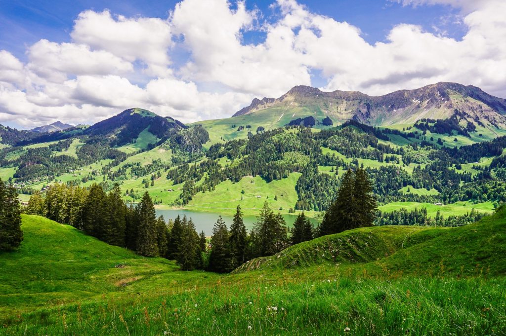
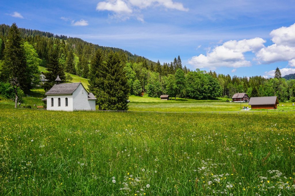
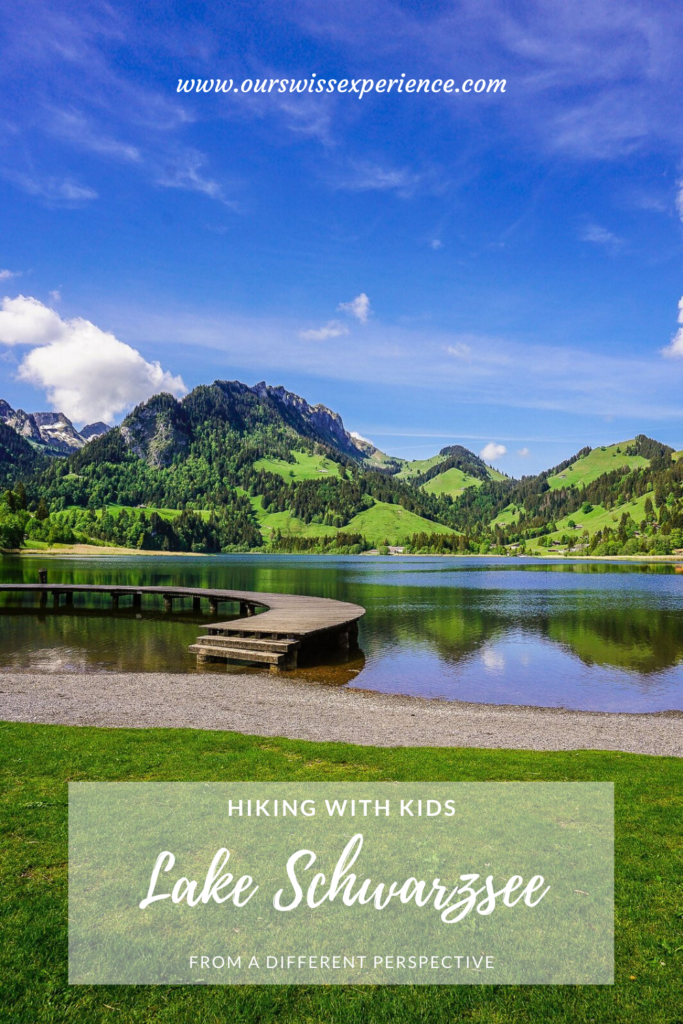
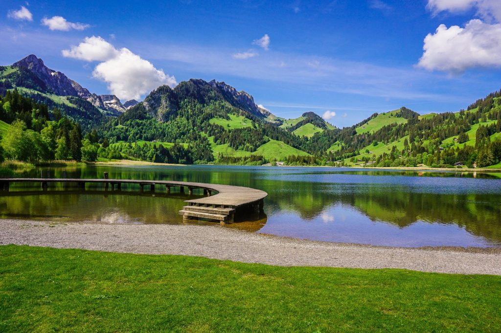
We started and ended the recent Ascension weekend in the canton of Fribourg. At the beginning we climbed the Mont Vully, in the end, we went to Lake Schwarzsee. We have been here about four times, even for skiing once.
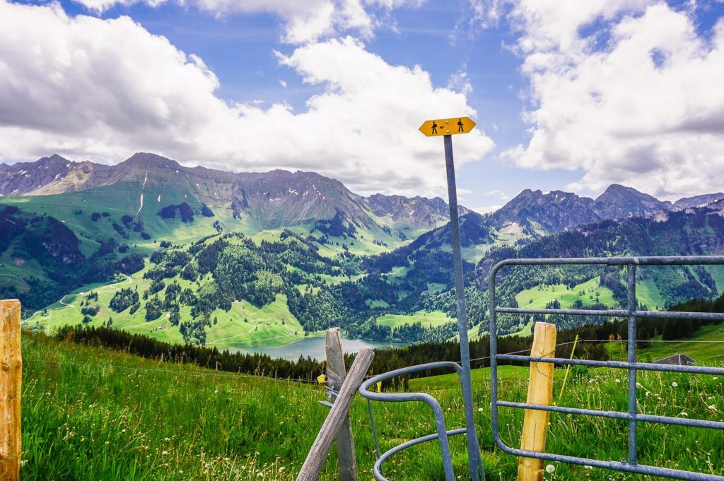
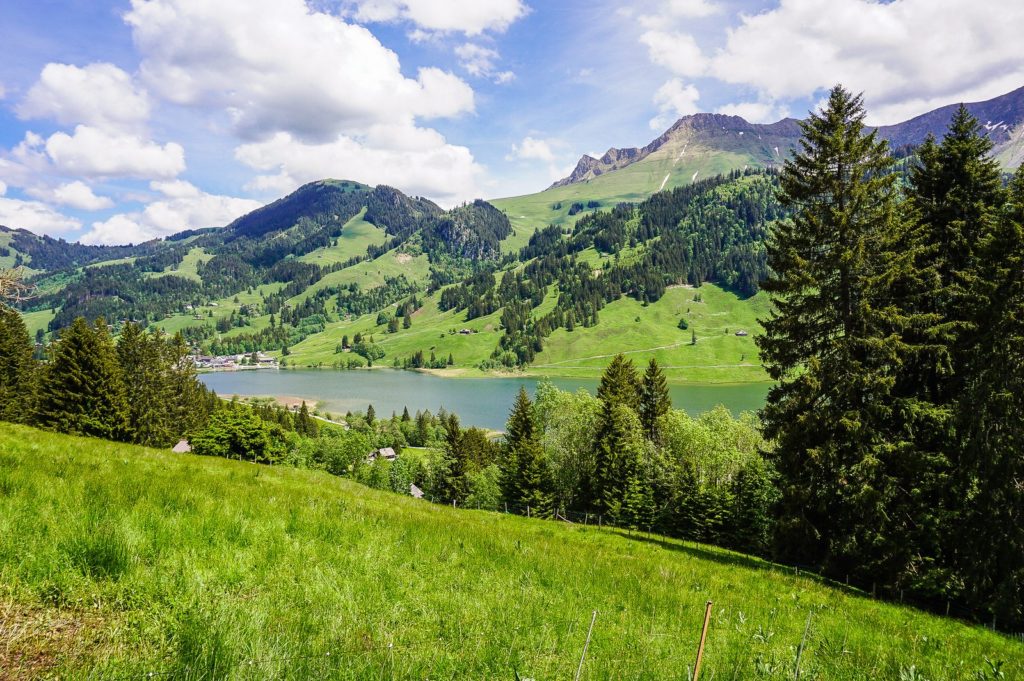
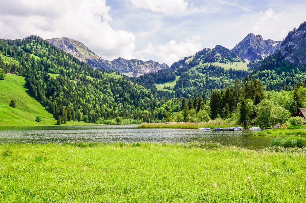
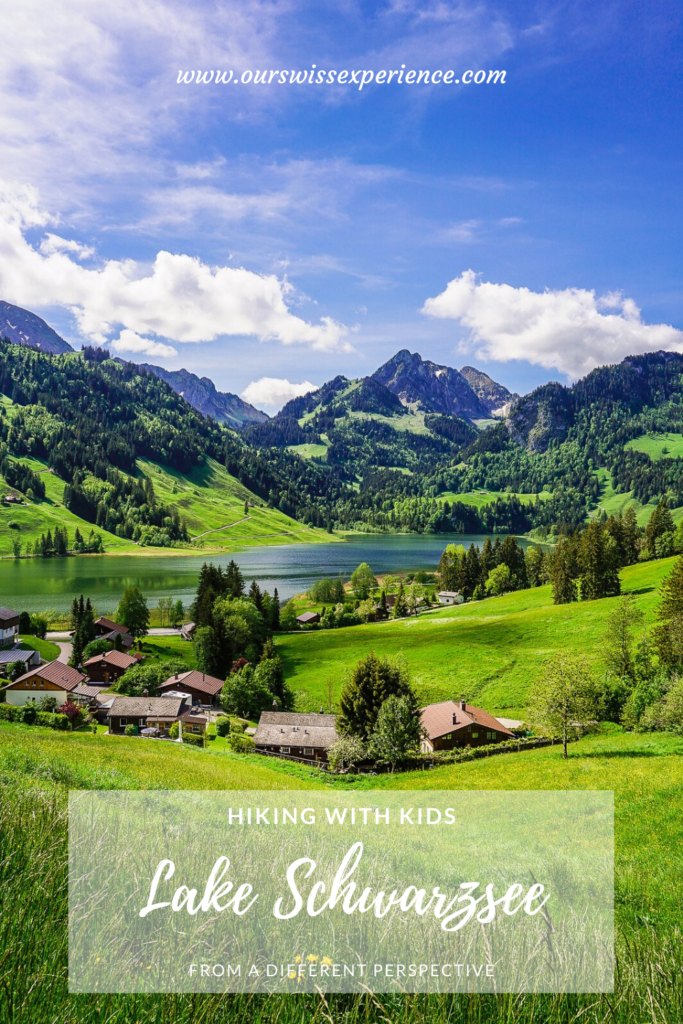
But this time we went to the hills on its northern side. And so we had a completely different perspective of looking at this 1.4 km long and 500 m wide lake.
Arrival
Lake Schwarzsee is located in the Gantrisch Nature Park, about an hour’s drive south of Bern. From the A12 motorway, take exit 9 Düdingen in the direction of Tafers / Murten. At the next junction, turn left onto Schwarzsee/Tafers/Murten. Then follow the signs to Schwarzsee. The large parking lot is located next to the Gypsera restaurant (I don’t know what it is, but every time we drive through the picturesque landscape, it seems to me that we go alone to the end of the world, but when we reach the parking lot, it is at least half full.). The parking fee is 1 franc/hour, 2 francs/2 hours, 3 francs/3 hours, 4 francs/4 hours, 5 francs for the whole day.
By public transport: by train to Fribourg, then by bus No. 123 to the Schwarzsee, Gypsera stop.
Start of the route
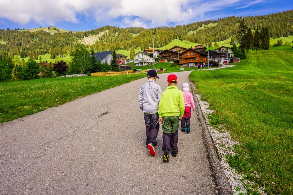
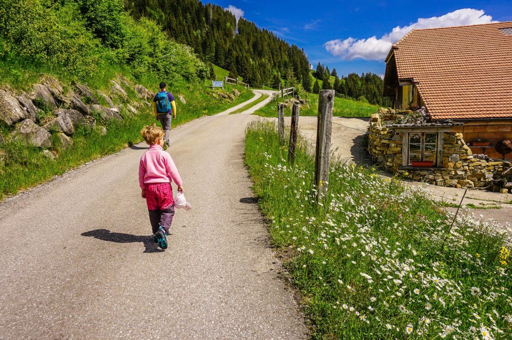
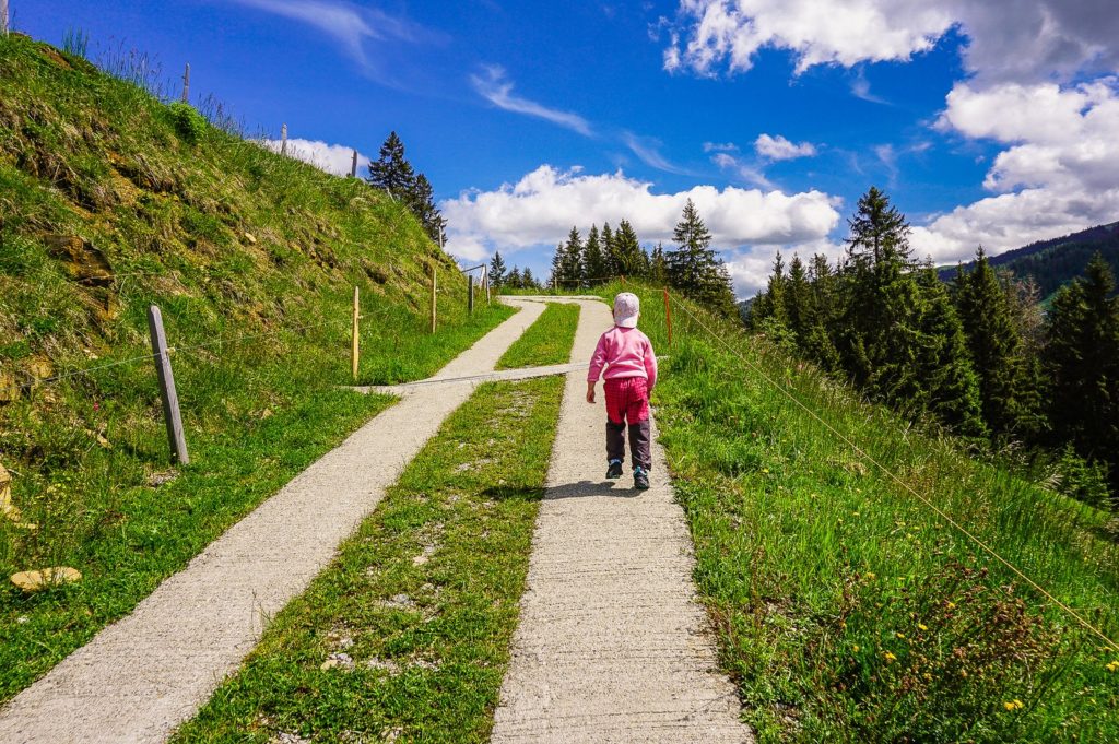
Follow the signs in the direction of Fuchses Schwyberg. The start of the route leads along a tarmac road – you pass the Schwarzsee Stärn restaurant and head uphill through the residential area. Practically on paved terrain, you continue to the Alp Salevorschis, where the route turns into a forest.
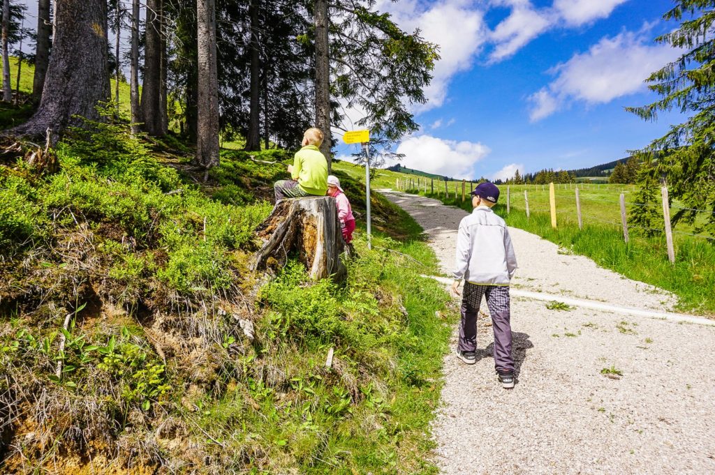
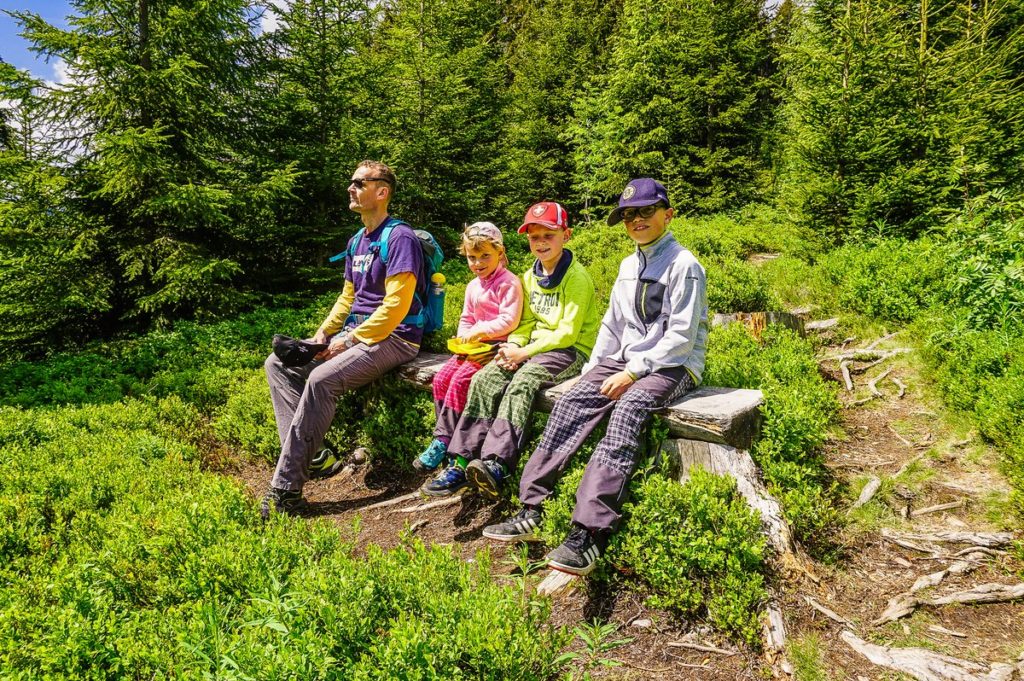
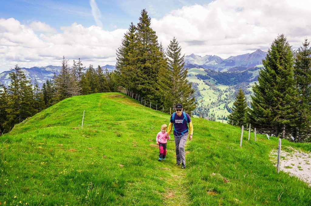
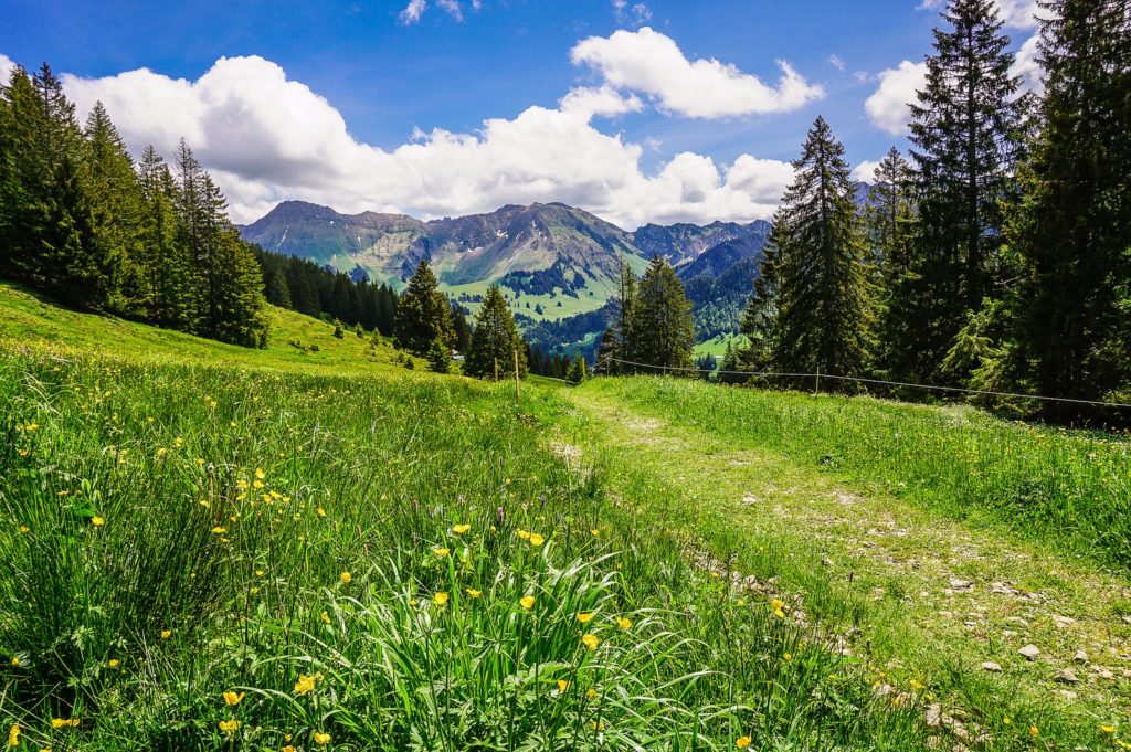
You climb higher and more over the narrow path. Anyone who goes here in a few months will certainly be amazed by the amount of blueberries. Although I don’t even know if blueberries can be picked in the nature park.
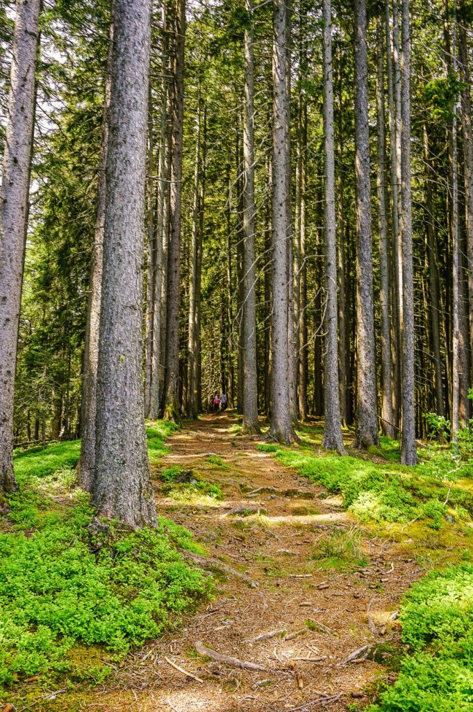
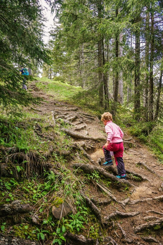
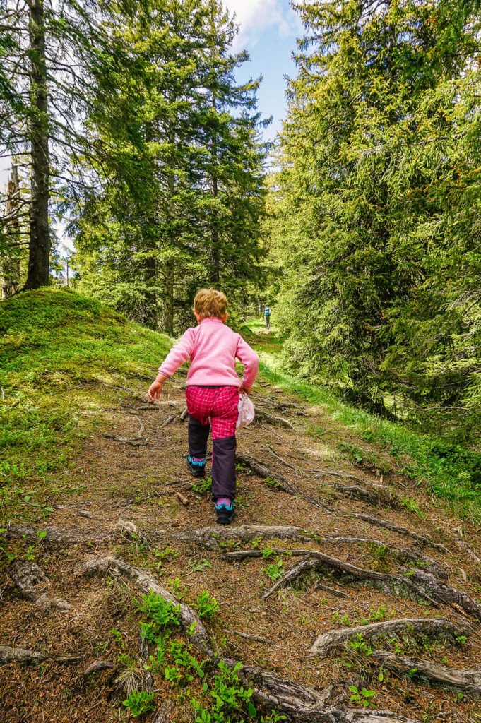
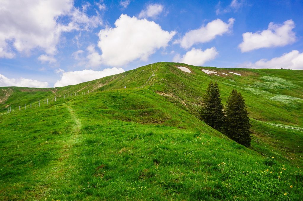
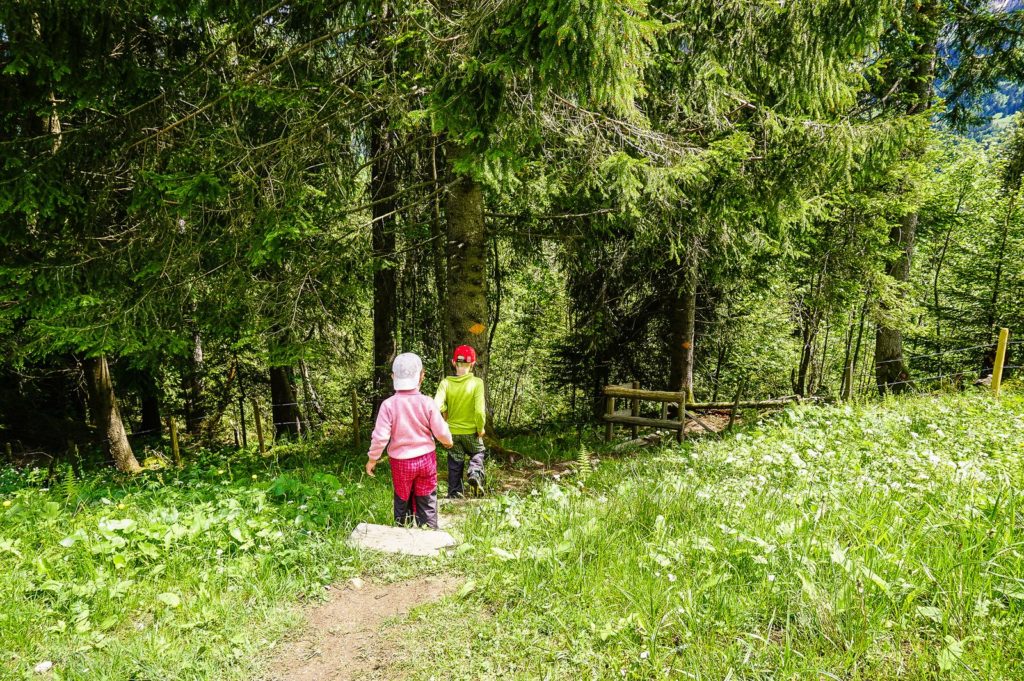
From the blueberry paradise you reach the beginning of the forest, in which pine trees, like candles, rise impressively to the sky. You continue up a wooded ridge full of roots that form natural stairs – which is picturesque on one side and scary on the other, like in some mysterious world of forest elves.
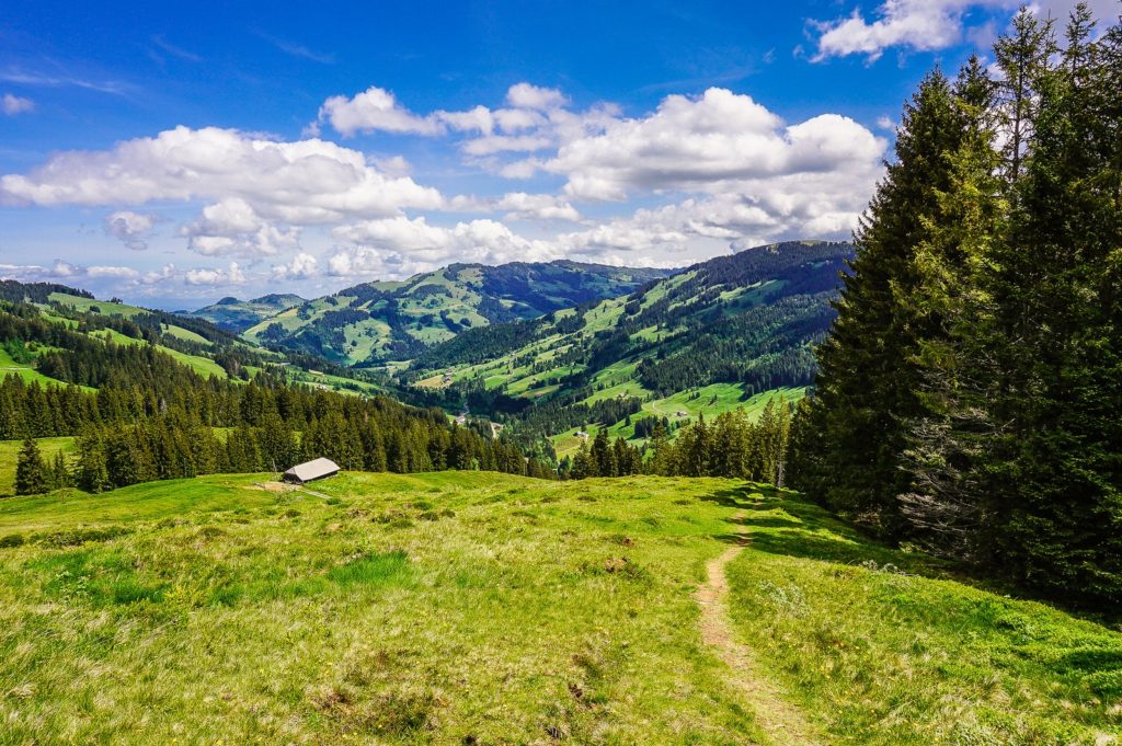
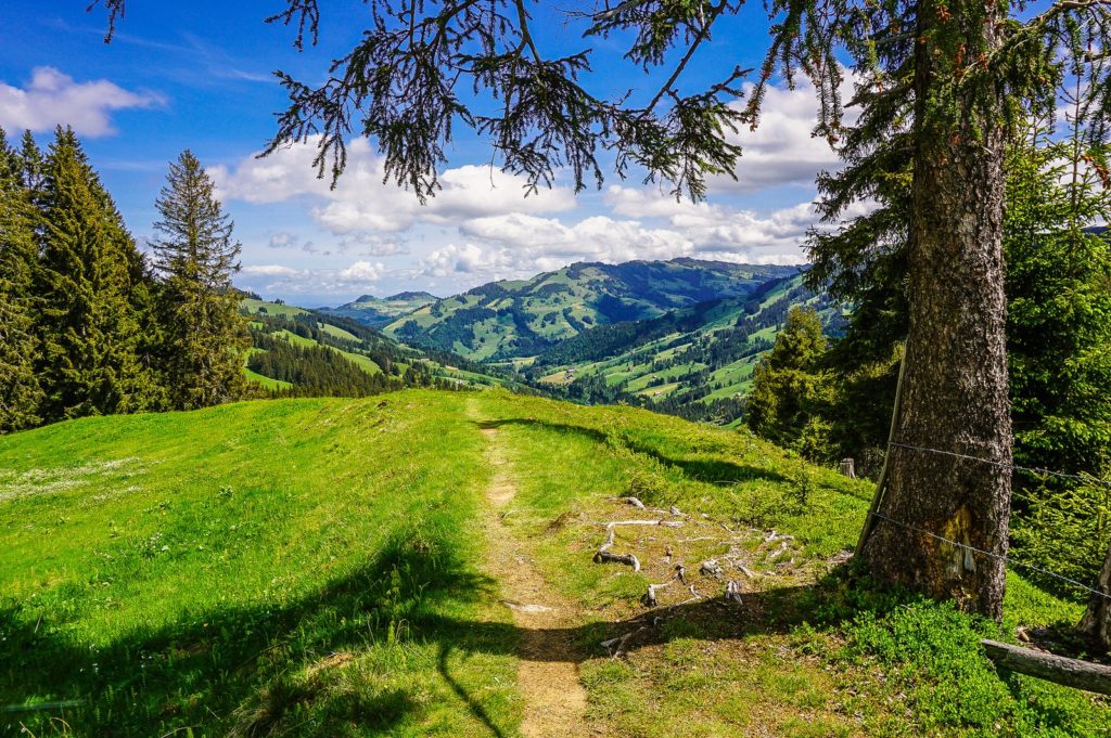
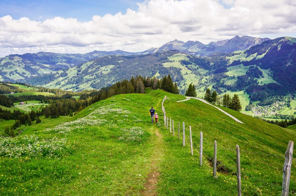
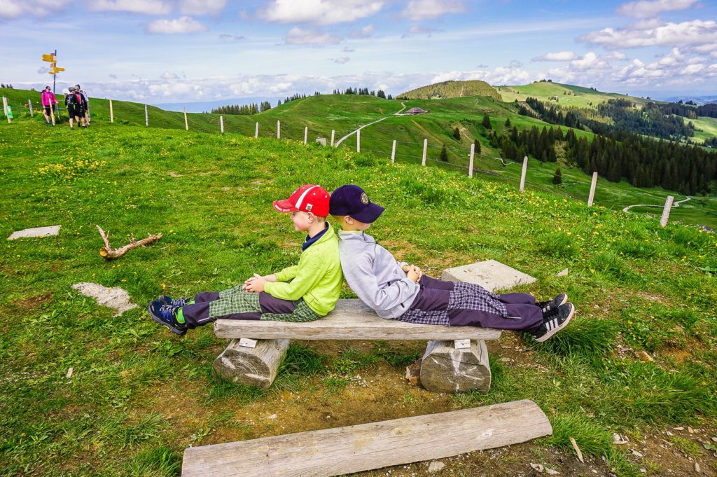
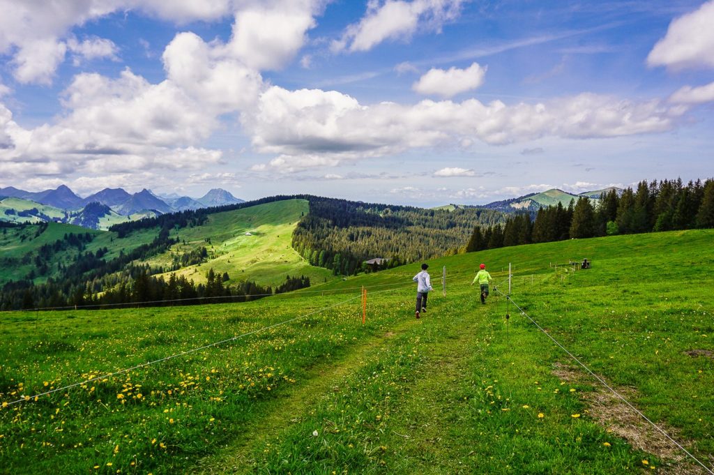
And when you think you’re almost on top when you come out of the woods, you’re not. You will have another 200 meters to the top. But the fact is that better views are from here than from the very top of Fuchses Schwyberg.
Hiking down
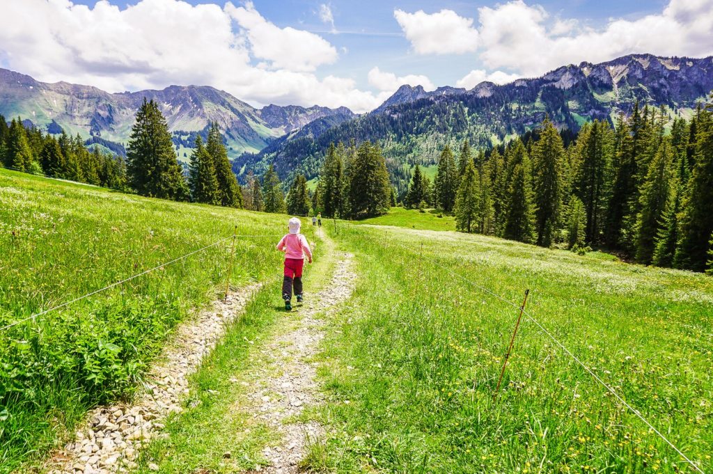
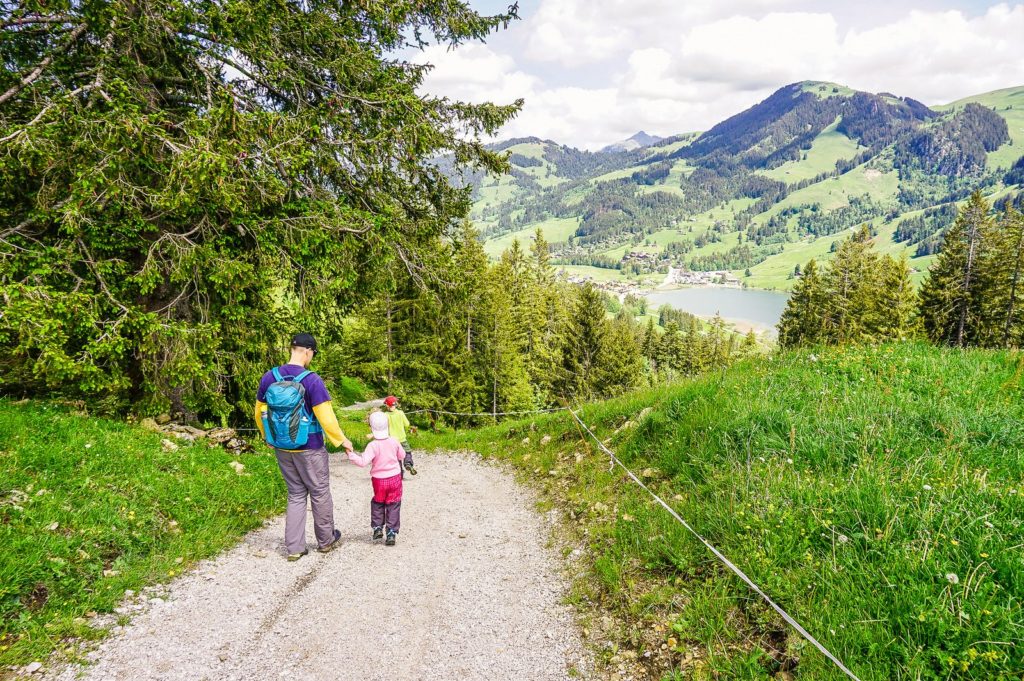
Finally, the lighter part of the route began – hiking downhill. Just follow the signpost to Schwarzsee Bad and in less than an hour you are back at the lake, although on the opposite side from where you started the hike.
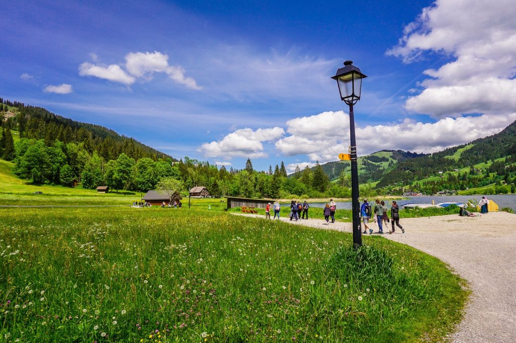
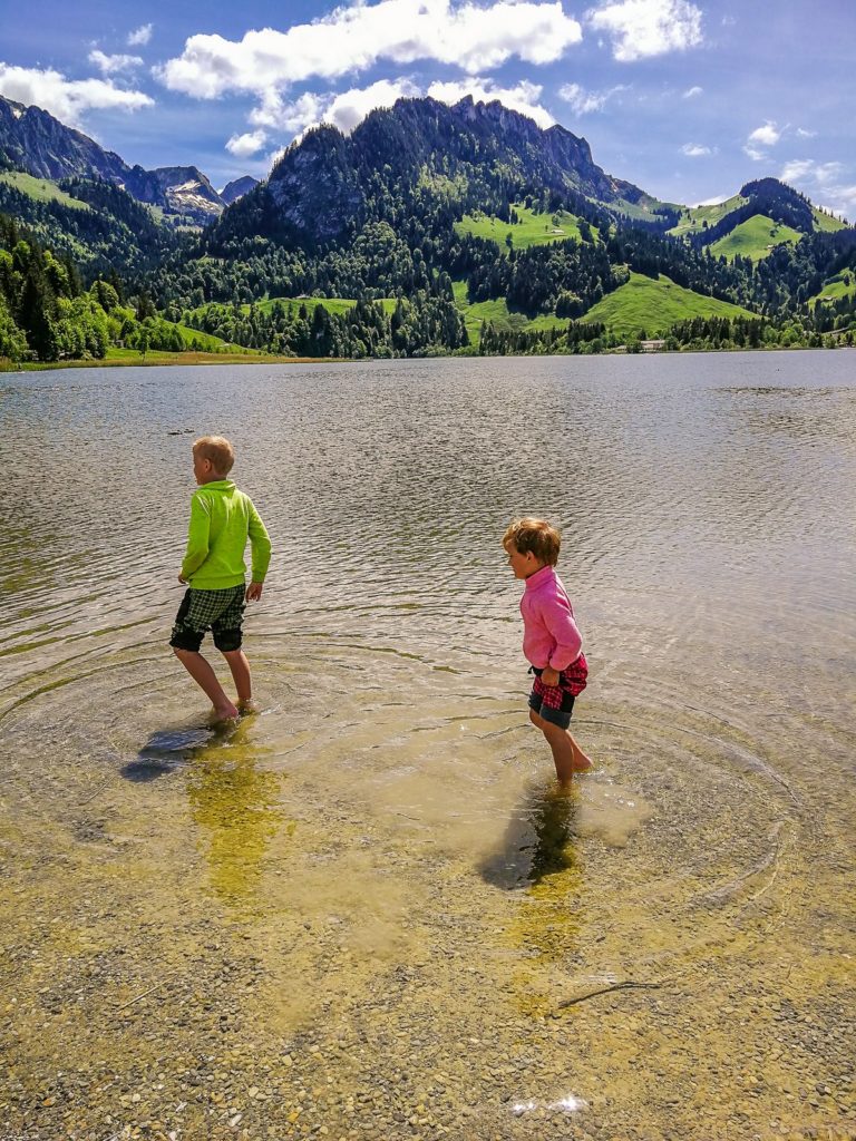
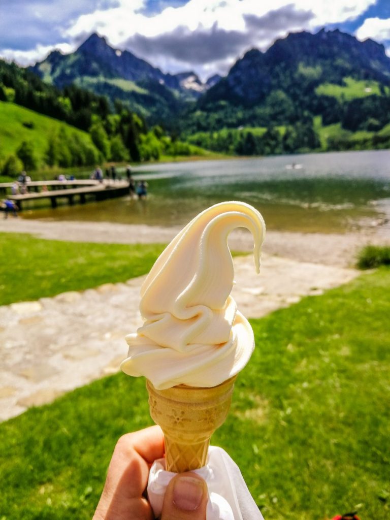
Here you get to the “civilization”, among the crowds of tourists, who are happy enough to have a pleasant two-hour walk along the lake. The braver of us then soaked their feet in the lake at the end of our hike (in fact, we also saw people immersed in it completely). For others, ice cream was enough 😉
Summary
- The route measures 9.7 kilometers and is not suitable for strollers.
- For strollers and smaller children, on the other hand, the route around the lake – the Häxewääg witch trail – is very suitable.
- You can find the altitude profile of the route on the Tourenplaner page from Wandermagazin SCHWEIZ.


